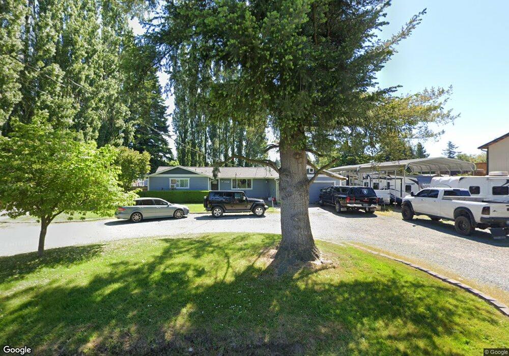
7320 Woodland Rd Ferndale, WA 98248
Estimated Value: $605,000 - $718,000
4
Beds
2
Baths
2,022
Sq Ft
$328/Sq Ft
Est. Value
About This Home
This home is located at 7320 Woodland Rd, Ferndale, WA 98248 and is currently estimated at $663,261, approximately $328 per square foot. 7320 Woodland Rd is a home located in Whatcom County with nearby schools including Custer Elementary School, Horizon Middle School, and Ferndale High School.
Ownership History
Date
Name
Owned For
Owner Type
Purchase Details
Closed on
Oct 7, 2009
Sold by
Ness Christina Catherine and Hood Valerie
Bought by
Garcia Jesus S
Current Estimated Value
Home Financials for this Owner
Home Financials are based on the most recent Mortgage that was taken out on this home.
Original Mortgage
$243,508
Outstanding Balance
$158,519
Interest Rate
5.02%
Mortgage Type
FHA
Estimated Equity
$504,742
Create a Home Valuation Report for This Property
The Home Valuation Report is an in-depth analysis detailing your home's value as well as a comparison with similar homes in the area
Home Values in the Area
Average Home Value in this Area
Purchase History
| Date | Buyer | Sale Price | Title Company |
|---|---|---|---|
| Garcia Jesus S | $248,280 | First American Title Insuran |
Source: Public Records
Mortgage History
| Date | Status | Borrower | Loan Amount |
|---|---|---|---|
| Open | Garcia Jesus S | $243,508 |
Source: Public Records
Tax History Compared to Growth
Tax History
| Year | Tax Paid | Tax Assessment Tax Assessment Total Assessment is a certain percentage of the fair market value that is determined by local assessors to be the total taxable value of land and additions on the property. | Land | Improvement |
|---|---|---|---|---|
| 2024 | $4,346 | $582,735 | $242,743 | $339,992 |
| 2023 | $4,346 | $601,915 | $275,000 | $326,915 |
| 2022 | $3,405 | $450,218 | $123,592 | $326,626 |
| 2021 | $3,470 | $372,081 | $102,142 | $269,939 |
| 2020 | $3,351 | $344,528 | $94,578 | $249,950 |
| 2019 | $2,693 | $300,074 | $82,375 | $217,699 |
| 2018 | $3,084 | $274,348 | $75,313 | $199,035 |
| 2017 | $2,898 | $240,424 | $66,000 | $174,424 |
| 2016 | $2,718 | $238,570 | $66,144 | $172,426 |
| 2015 | $2,736 | $224,440 | $62,622 | $161,818 |
| 2014 | -- | $219,848 | $61,200 | $158,648 |
| 2013 | -- | $216,922 | $60,000 | $156,922 |
Source: Public Records
Map
Nearby Homes
- 0 2151xx Harksell Rd
- 7442 Woodland Rd
- 7181 Enterprise Rd
- 1711 Garden Farms Rd
- 2070 Grandview Rd
- 2020 Grandview Rd
- 1939 Grandview Rd
- 2036 Grandview Rd
- 7020 Dahlberg Rd
- 6850 Portal Way
- 2265 Grandview Rd
- 7136 Portal Way Unit 18
- 6600 Portal Way
- 0 xxx Brown Rd
- 1862 Destiny St
- 1942 Trigg Rd Unit 26
- 1942 Trigg Rd Unit 38
- 0 Aldergrove Rd Unit NWM2355925
- 7077 Vista Dr
- 6470 Trigg Woods Ln
- 1936 Harksell Rd
- 7332 Woodland Rd
- 1920 Harksell Rd
- 7311 Woodland Rd
- 7348 Woodland Rd
- 21 XX Harksell Rd
- 1670 Harksell Rd
- 7371 Woodland Rd
- 7275 Enterprise Rd
- 7366 Woodland Rd
- 2010 Harksell Rd
- 7376 Woodland Rd
- 7280 Enterprise Rd
- 1878 Harksell Rd
- 7380 Woodland Rd
- 7391 Woodland Rd
- 7382 Woodland Rd
- 7260 Enterprise Rd
- 7394 Woodland Rd