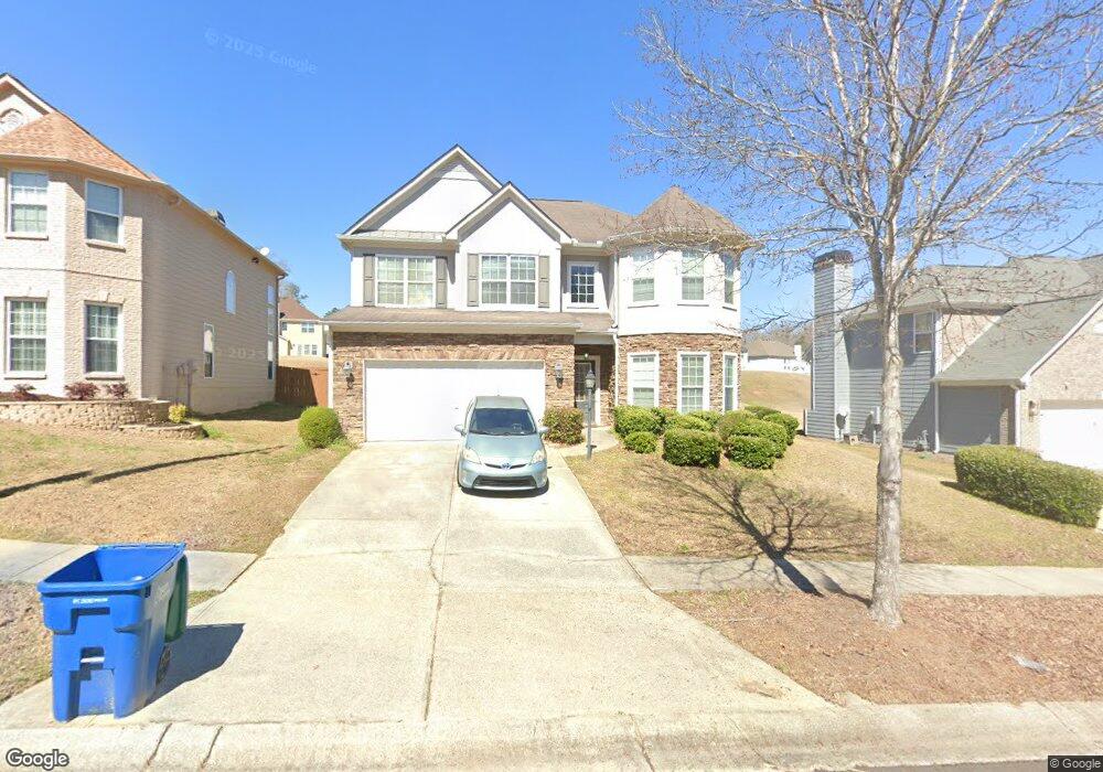
7323 Simon St Unit 12 Atlanta, GA 30349
Estimated Value: $314,000 - $364,000
4
Beds
3
Baths
1,930
Sq Ft
$175/Sq Ft
Est. Value
About This Home
This home is located at 7323 Simon St Unit 12, Atlanta, GA 30349 and is currently estimated at $338,057, approximately $175 per square foot. 7323 Simon St Unit 12 is a home located in Fulton County with nearby schools including Cliftondale Elementary School, Renaissance Middle School, and Langston Hughes High School.
Ownership History
Date
Name
Owned For
Owner Type
Purchase Details
Closed on
Feb 24, 2006
Sold by
Chester Tiffany E
Bought by
Chester Shakita T
Current Estimated Value
Home Financials for this Owner
Home Financials are based on the most recent Mortgage that was taken out on this home.
Original Mortgage
$146,015
Outstanding Balance
$81,886
Interest Rate
6.04%
Mortgage Type
New Conventional
Estimated Equity
$256,171
Create a Home Valuation Report for This Property
The Home Valuation Report is an in-depth analysis detailing your home's value as well as a comparison with similar homes in the area
Home Values in the Area
Average Home Value in this Area
Purchase History
| Date | Buyer | Sale Price | Title Company |
|---|---|---|---|
| Chester Shakita T | $186,100 | -- |
Source: Public Records
Mortgage History
| Date | Status | Borrower | Loan Amount |
|---|---|---|---|
| Open | Chester Shakita T | $146,015 |
Source: Public Records
Tax History Compared to Growth
Tax History
| Year | Tax Paid | Tax Assessment Tax Assessment Total Assessment is a certain percentage of the fair market value that is determined by local assessors to be the total taxable value of land and additions on the property. | Land | Improvement |
|---|---|---|---|---|
| 2025 | $2,086 | $106,360 | $34,640 | $71,720 |
| 2023 | $3,428 | $121,440 | $31,960 | $89,480 |
| 2022 | $1,952 | $108,600 | $26,000 | $82,600 |
| 2021 | $1,880 | $84,960 | $23,560 | $61,400 |
| 2020 | $1,886 | $83,960 | $23,280 | $60,680 |
| 2019 | $1,886 | $71,640 | $14,160 | $57,480 |
| 2018 | $2,097 | $70,000 | $13,840 | $56,160 |
| 2017 | $1,526 | $54,520 | $13,840 | $40,680 |
| 2016 | $1,525 | $54,520 | $13,840 | $40,680 |
| 2015 | $1,529 | $54,520 | $13,840 | $40,680 |
| 2014 | $1,112 | $43,520 | $12,840 | $30,680 |
Source: Public Records
Map
Nearby Homes
- 7280 Wright Dr Unit 12
- 3876 Margaux Dr
- 3912 Margaux Dr
- 204 Saintvry Path
- 733 Miller Run
- 3835 Kastler Dr
- 3830 Kastler Dr
- 7636 Cole Ln
- 3832 Kastler Dr
- 7192 Linden Dr
- 7648 Cole Ln Unit 1C
- 7656 Cole Ln
- GRAYSON Plan at Butner Estates
- LYNNBROOK Plan at Butner Estates
- BELLVIEW Plan at Butner Estates
- WINDSOR Plan at Butner Estates
- WESTERLY Plan at Butner Estates
- 7170 Linden Dr
- 7313 Simon St
- 7333 Simon St Unit 12
- 7303 Simon St Unit 12
- 7343 Simon St
- 7320 Wright Dr
- 7330 Wright Dr
- 7293 Simon St
- 0 Simon St 0
- 7293 Simon St 0
- 7293 Simon St 0 Unit 7293
- 7293 Simon Street 0 Unit 7293
- 7310 Wright Dr
- 7344 Simon St Unit 12
- 7324 Simon St Unit 11
- 7340 Wright Dr
- 3800 Ailey Ave Unit 11
- 7300 Wright Dr Unit 12
- 3790 Ailey Ave
- 7354 Simon St
- 7290 Wright Dr Unit 11