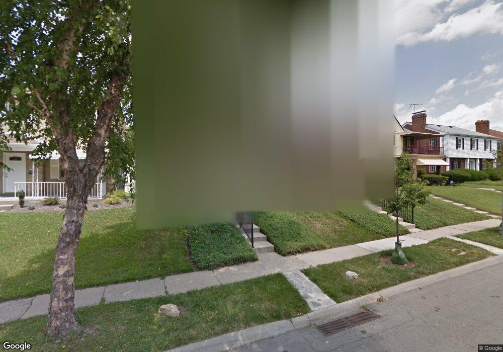
7325 Brookcrest Dr Cincinnati, OH 45237
Roselawn NeighborhoodEstimated Value: $216,000 - $358,000
4
Beds
2
Baths
2,376
Sq Ft
$117/Sq Ft
Est. Value
About This Home
This home is located at 7325 Brookcrest Dr, Cincinnati, OH 45237 and is currently estimated at $279,060, approximately $117 per square foot. 7325 Brookcrest Dr is a home located in Hamilton County with nearby schools including Roselawn Condon School, Shroder High School, and Clark Montessori High School.
Ownership History
Date
Name
Owned For
Owner Type
Purchase Details
Closed on
Dec 31, 2019
Sold by
Kravitz Neil J
Bought by
Fisher Matthew S
Current Estimated Value
Home Financials for this Owner
Home Financials are based on the most recent Mortgage that was taken out on this home.
Original Mortgage
$102,000
Outstanding Balance
$89,344
Interest Rate
3.6%
Mortgage Type
New Conventional
Estimated Equity
$189,716
Purchase Details
Closed on
May 3, 2008
Sold by
Kravitz Alan M and Kravitz Jill Shaw
Bought by
Bortz Gertrude B and Bortz Gertrude
Create a Home Valuation Report for This Property
The Home Valuation Report is an in-depth analysis detailing your home's value as well as a comparison with similar homes in the area
Home Values in the Area
Average Home Value in this Area
Purchase History
| Date | Buyer | Sale Price | Title Company |
|---|---|---|---|
| Fisher Matthew S | $120,000 | Central Land Title Agency | |
| Bortz Gertrude B | $25,000 | Multi State Title Agency |
Source: Public Records
Mortgage History
| Date | Status | Borrower | Loan Amount |
|---|---|---|---|
| Open | Fisher Matthew S | $102,000 |
Source: Public Records
Tax History
| Year | Tax Paid | Tax Assessment Tax Assessment Total Assessment is a certain percentage of the fair market value that is determined by local assessors to be the total taxable value of land and additions on the property. | Land | Improvement |
|---|---|---|---|---|
| 2025 | $4,190 | $67,670 | $8,460 | $59,210 |
| 2024 | $4,063 | $67,670 | $8,460 | $59,210 |
| 2023 | $4,154 | $67,670 | $8,460 | $59,210 |
| 2022 | $2,884 | $42,001 | $7,389 | $34,612 |
| 2021 | $2,769 | $42,001 | $7,389 | $34,612 |
| 2020 | $2,257 | $42,001 | $7,389 | $34,612 |
| 2019 | $2,084 | $36,870 | $6,780 | $30,090 |
| 2018 | $2,087 | $36,870 | $6,780 | $30,090 |
| 2017 | $1,974 | $36,870 | $6,780 | $30,090 |
| 2016 | $2,053 | $37,681 | $6,916 | $30,765 |
| 2015 | $1,860 | $37,681 | $6,916 | $30,765 |
| 2014 | $1,874 | $37,681 | $6,916 | $30,765 |
| 2013 | $1,856 | $36,943 | $6,780 | $30,163 |
Source: Public Records
Map
Nearby Homes
- 1622 Shenandoah Ave
- 1519 Section Rd
- 1535 Kenova Ave
- 1522 Kenova Ave
- 7119 Eastlawn Dr
- 6770 Elbrook Ave
- 6750 Elbrook Ave
- 1501 Summit Rd
- 2344 Losantiville Ave
- 1808 Crest Hill Ave
- 7833 Dawn Rd
- 6402 Mayflower Ave
- 2063 E Seymour Ave
- 6211 Mayflower Ave
- 6110 Stover Ave
- 8081 Woodbine Ave
- 2436 Bremont Ave
- 6202 Mayflower Ave
- 2507 Kellerman Ave
- 2537 Vera Ave
- 7329 Brookcrest Dr
- 7321 Brookcrest Dr
- 7333 Brookcrest Dr
- 7317 Brookcrest Dr
- 7337 Brookcrest Dr
- 7313 Brookcrest Dr
- 7332 Reading Rd
- 7332 Reading Rd Unit 3
- 7336 Reading Rd
- 7320 Brookcrest Dr
- 7330 Brookcrest Dr
- 7341 Brookcrest Dr
- 7309 Brookcrest Dr
- 7344 Reading Rd
- 1805 Glendon Place
- 7320 Reading Rd
- 1808 Glendon Place
- 1809 Glendon Place
- 7305 Brookcrest Dr
- 7316 Reading Rd
Your Personal Tour Guide
Ask me questions while you tour the home.