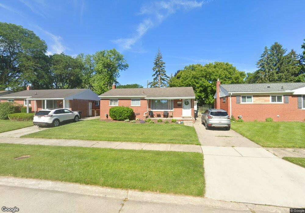
7325 Hartel St Unit Bldg-Unit Westland, MI 48185
Estimated Value: $222,000 - $251,000
--
Bed
2
Baths
965
Sq Ft
$243/Sq Ft
Est. Value
About This Home
This home is located at 7325 Hartel St Unit Bldg-Unit, Westland, MI 48185 and is currently estimated at $234,830, approximately $243 per square foot. 7325 Hartel St Unit Bldg-Unit is a home located in Wayne County with nearby schools including Cleveland Elementary School, Cooper Upper Elementary School, and Emerson Middle School.
Ownership History
Date
Name
Owned For
Owner Type
Purchase Details
Closed on
May 13, 2022
Sold by
Harrison and Megan
Bought by
Jaquez Steven Tyler and Jaquez Megan Ann
Current Estimated Value
Home Financials for this Owner
Home Financials are based on the most recent Mortgage that was taken out on this home.
Original Mortgage
$212,430
Outstanding Balance
$201,894
Interest Rate
5.3%
Mortgage Type
New Conventional
Estimated Equity
$32,936
Purchase Details
Closed on
Jul 23, 2021
Sold by
Boyle Tracy
Bought by
Harrison David and Harrison Megan
Purchase Details
Closed on
May 7, 2018
Sold by
Cercone Alyssa G
Bought by
Boyle Trazy
Purchase Details
Closed on
Dec 18, 2009
Sold by
Lempicki Lawrence E and Lempicki Janet
Bought by
Cercone Alyssa G
Purchase Details
Closed on
May 24, 2005
Sold by
Lempicki Lawrence E and Estate Of Cassie Swagel
Bought by
Lempicki Lawrence E
Create a Home Valuation Report for This Property
The Home Valuation Report is an in-depth analysis detailing your home's value as well as a comparison with similar homes in the area
Home Values in the Area
Average Home Value in this Area
Purchase History
| Date | Buyer | Sale Price | Title Company |
|---|---|---|---|
| Jaquez Steven Tyler | $219,000 | None Listed On Document | |
| Harrison David | $186,000 | None Available | |
| Boyle Trazy | $133,000 | Coretitle Llc | |
| Cercone Alyssa G | $80,000 | Devon Title Agency | |
| Lempicki Lawrence E | -- | -- |
Source: Public Records
Mortgage History
| Date | Status | Borrower | Loan Amount |
|---|---|---|---|
| Open | Jaquez Steven Tyler | $212,430 |
Source: Public Records
Tax History Compared to Growth
Tax History
| Year | Tax Paid | Tax Assessment Tax Assessment Total Assessment is a certain percentage of the fair market value that is determined by local assessors to be the total taxable value of land and additions on the property. | Land | Improvement |
|---|---|---|---|---|
| 2025 | $3,202 | $86,600 | $0 | $0 |
| 2024 | $3,202 | $81,700 | $0 | $0 |
| 2023 | $3,057 | $74,500 | $0 | $0 |
| 2022 | $3,297 | $65,800 | $0 | $0 |
| 2021 | $2,786 | $60,400 | $0 | $0 |
| 2020 | $2,756 | $54,200 | $0 | $0 |
| 2019 | $2,604 | $52,700 | $0 | $0 |
| 2018 | $1,581 | $47,600 | $0 | $0 |
| 2017 | $783 | $47,400 | $0 | $0 |
| 2016 | $1,934 | $47,400 | $0 | $0 |
| 2015 | $3,848 | $45,000 | $0 | $0 |
| 2013 | $3,728 | $38,120 | $0 | $0 |
| 2012 | $1,787 | $39,290 | $0 | $0 |
Source: Public Records
Map
Nearby Homes
- 28526 Rush St
- 28730 Bridge St
- 28627 Bridge St
- 28912 Cambridge St
- 7304 Gilman St
- 7401 Floral St
- 29256 Brody Ave
- 7048 Deering St
- 29498 Bridge St
- 7367 Cavell St
- 7029 Belton St
- 0000 N Middlebelt Rd
- 29854 Malvern St
- 6690 Deering St
- 29801 Bridge St
- 29878 Malvern St
- 7606 Cavell St
- 28343 Maplewood St
- 29047 Manchester St Unit 83
- 29248 Manchester St