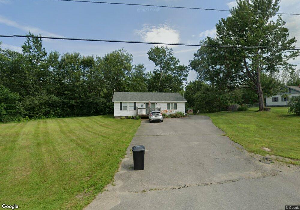
733 Bog Rd Hermon, ME 04401
Estimated Value: $241,000 - $325,000
2
Beds
1
Bath
960
Sq Ft
$281/Sq Ft
Est. Value
About This Home
This home is located at 733 Bog Rd, Hermon, ME 04401 and is currently estimated at $270,217, approximately $281 per square foot. 733 Bog Rd is a home located in Penobscot County with nearby schools including Patricia A Duran School, Hermon Middle School, and Hermon High School.
Ownership History
Date
Name
Owned For
Owner Type
Purchase Details
Closed on
Apr 14, 2005
Sold by
Young Kristoffer D
Bought by
Potter Torrie M and Potter Wayne H
Current Estimated Value
Home Financials for this Owner
Home Financials are based on the most recent Mortgage that was taken out on this home.
Original Mortgage
$103,550
Outstanding Balance
$53,436
Interest Rate
5.78%
Mortgage Type
Commercial
Estimated Equity
$216,781
Create a Home Valuation Report for This Property
The Home Valuation Report is an in-depth analysis detailing your home's value as well as a comparison with similar homes in the area
Home Values in the Area
Average Home Value in this Area
Purchase History
| Date | Buyer | Sale Price | Title Company |
|---|---|---|---|
| Potter Torrie M | -- | -- |
Source: Public Records
Mortgage History
| Date | Status | Borrower | Loan Amount |
|---|---|---|---|
| Open | Potter Torrie M | $103,550 |
Source: Public Records
Tax History
| Year | Tax Paid | Tax Assessment Tax Assessment Total Assessment is a certain percentage of the fair market value that is determined by local assessors to be the total taxable value of land and additions on the property. | Land | Improvement |
|---|---|---|---|---|
| 2024 | $1,796 | $164,800 | $61,200 | $103,600 |
| 2023 | $1,778 | $151,300 | $57,000 | $94,300 |
| 2022 | $1,582 | $132,900 | $50,700 | $82,200 |
| 2021 | $1,543 | $128,700 | $49,100 | $79,600 |
| 2020 | $1,506 | $125,600 | $47,900 | $77,700 |
| 2019 | $1,462 | $121,900 | $46,800 | $75,100 |
| 2018 | $1,414 | $121,900 | $46,800 | $75,100 |
| 2017 | $1,480 | $121,300 | $45,100 | $76,200 |
| 2016 | $1,402 | $116,800 | $43,400 | $73,400 |
| 2015 | $1,366 | $113,800 | $41,800 | $72,000 |
| 2014 | $1,326 | $110,534 | $41,750 | $68,784 |
Source: Public Records
Map
Nearby Homes
- 204 Edenfield Dr
- 3 Cole Cir
- 00 Confidential Route 2
- 287 Partridge Ln
- 273 Partridge Ln
- 283 Partridge Ln
- 186 Klatte Rd
- 281 Partridge Ln
- 37 Hunter Dr
- 139 Billings Rd
- 56 Wendy Acres Dr
- 109 Fowlers Landing Rd
- 31 Hillcrest Dr
- 73 Fowlers Landing Rd
- 202 Orchard Dr
- 353 Fuller Rd
- 310 Harvest Ln
- 566 Deerfield Dr
- 2897 Route 2
- Lot 81 Fuller Rd
Your Personal Tour Guide
Ask me questions while you tour the home.