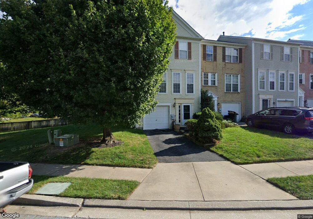
733 Brickston Rd Reisterstown, MD 21136
Estimated Value: $315,000 - $361,000
--
Bed
3
Baths
1,420
Sq Ft
$237/Sq Ft
Est. Value
About This Home
This home is located at 733 Brickston Rd, Reisterstown, MD 21136 and is currently estimated at $336,404, approximately $236 per square foot. 733 Brickston Rd is a home located in Baltimore County with nearby schools including Reisterstown Elementary, Franklin Middle, and Franklin High.
Ownership History
Date
Name
Owned For
Owner Type
Purchase Details
Closed on
May 3, 2005
Sold by
Staci Staci and Staci Lberg
Bought by
Weinstein Edward
Current Estimated Value
Home Financials for this Owner
Home Financials are based on the most recent Mortgage that was taken out on this home.
Original Mortgage
$132,000
Outstanding Balance
$69,311
Interest Rate
5.95%
Mortgage Type
New Conventional
Estimated Equity
$267,093
Purchase Details
Closed on
Jul 27, 2004
Sold by
Taylor Michael B
Bought by
Mandelberg Staci and Mandelberg Adam
Purchase Details
Closed on
Mar 18, 2003
Sold by
Taylor Michael B
Bought by
Taylor Michael B and Taylor Marianne
Purchase Details
Closed on
Jan 11, 1997
Sold by
Pulte Home Corp
Bought by
Taylor Michael B
Create a Home Valuation Report for This Property
The Home Valuation Report is an in-depth analysis detailing your home's value as well as a comparison with similar homes in the area
Home Values in the Area
Average Home Value in this Area
Purchase History
| Date | Buyer | Sale Price | Title Company |
|---|---|---|---|
| Weinstein Edward | $240,000 | -- | |
| Mandelberg Staci | $224,000 | -- | |
| Taylor Michael B | -- | -- | |
| Taylor Michael B | $120,325 | -- |
Source: Public Records
Mortgage History
| Date | Status | Borrower | Loan Amount |
|---|---|---|---|
| Open | Weinstein Edward | $132,000 |
Source: Public Records
Tax History Compared to Growth
Tax History
| Year | Tax Paid | Tax Assessment Tax Assessment Total Assessment is a certain percentage of the fair market value that is determined by local assessors to be the total taxable value of land and additions on the property. | Land | Improvement |
|---|---|---|---|---|
| 2025 | $3,791 | $254,433 | -- | -- |
| 2024 | $3,791 | $236,000 | $61,400 | $174,600 |
| 2023 | $1,828 | $226,667 | $0 | $0 |
| 2022 | $3,518 | $217,333 | $0 | $0 |
| 2021 | $3,474 | $208,000 | $61,400 | $146,600 |
| 2020 | $3,474 | $207,000 | $0 | $0 |
| 2019 | $3,403 | $206,000 | $0 | $0 |
| 2018 | $3,243 | $205,000 | $61,400 | $143,600 |
| 2017 | $3,321 | $200,433 | $0 | $0 |
| 2016 | $2,820 | $195,867 | $0 | $0 |
| 2015 | $2,820 | $191,300 | $0 | $0 |
| 2014 | $2,820 | $191,300 | $0 | $0 |
Source: Public Records
Map
Nearby Homes
- 1 Brampton Ct
- 7 Putman Ct
- 10944 Baskerville Rd
- 10 Simpson Ct
- 13 Bellinger Ct
- 570 Kennington Rd
- 12314 Bonfire Dr
- 12331 Boncrest Dr
- 648 Glynock Place
- 49 Merino Ct
- 1017 Kingsbury Rd
- 215 Greenview Ave
- 12 Greensborough Rd
- 10 Greensborough Rd
- 208 Parkholme Cir
- 10 Wensley Dale Ct
- 4 Romney Ct
- 225 Highmeadow Rd
- 15 Gloucester Ct
- 203 Cork Ln Unit T4
- 731 Brickston Rd
- 729 Brickston Rd
- 727 Brickston Rd
- 725 Brickston Rd
- 801 Brickston Rd
- 723 Brickston Rd
- 803 Brickston Rd
- 721 Brickston Rd
- 805 Brickston Rd
- 734 Brickston Rd
- 719 Brickston Rd
- 732 Brickston Rd
- 807 Brickston Rd
- 730 Brickston Rd
- 728 Brickston Rd
- 726 Brickston Rd
- 809 Brickston Rd
- 717 Brickston Rd
- 724 Brickston Rd
- 800 Brickston Rd