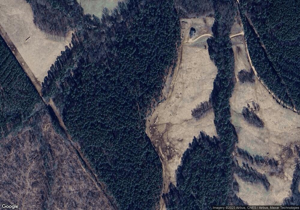
733 Elam Lunceford Rd Tignall, GA 30668
Estimated Value: $102,000 - $409,883
4
Beds
3
Baths
1,970
Sq Ft
$153/Sq Ft
Est. Value
About This Home
This home is located at 733 Elam Lunceford Rd, Tignall, GA 30668 and is currently estimated at $300,628, approximately $152 per square foot. 733 Elam Lunceford Rd is a home with nearby schools including Washington-Wilkes Elementary School, Washington-Wilkes Primary School, and Washington-Wilkes Middle School.
Ownership History
Date
Name
Owned For
Owner Type
Purchase Details
Closed on
Nov 29, 2013
Sold by
Jpws Enterprises Llc
Bought by
Burdette Claude E
Current Estimated Value
Purchase Details
Closed on
Dec 6, 2011
Sold by
Cenlar Fsb
Purchase Details
Closed on
Jan 7, 2004
Sold by
Blue Sky Timber Prop Llc
Bought by
Burdette C E
Purchase Details
Closed on
Nov 19, 1998
Sold by
Plemmons James L
Bought by
Burdette Claude E
Purchase Details
Closed on
Mar 1, 1992
Bought by
Plemmons James L
Purchase Details
Closed on
Mar 1, 1984
Purchase Details
Closed on
Feb 1, 1981
Purchase Details
Closed on
Dec 1, 1980
Create a Home Valuation Report for This Property
The Home Valuation Report is an in-depth analysis detailing your home's value as well as a comparison with similar homes in the area
Home Values in the Area
Average Home Value in this Area
Purchase History
| Date | Buyer | Sale Price | Title Company |
|---|---|---|---|
| Burdette Claude E | -- | -- | |
| -- | $130,000 | -- | |
| Federal Home Loan Mortgage Corporation | $130,000 | -- | |
| Burdette C E | $293,300 | -- | |
| Burdette C E | -- | -- | |
| Burdette Claude E | $81,100 | -- | |
| Plemmons James L | $52,000 | -- | |
| -- | $36,600 | -- | |
| -- | -- | -- | |
| -- | -- | -- |
Source: Public Records
Tax History Compared to Growth
Tax History
| Year | Tax Paid | Tax Assessment Tax Assessment Total Assessment is a certain percentage of the fair market value that is determined by local assessors to be the total taxable value of land and additions on the property. | Land | Improvement |
|---|---|---|---|---|
| 2024 | $5,551 | $228,591 | $105,428 | $123,163 |
| 2023 | $5,397 | $228,591 | $105,428 | $123,163 |
| 2022 | $5,335 | $228,591 | $105,428 | $123,163 |
| 2021 | $5,401 | $228,591 | $105,428 | $123,163 |
| 2020 | $6,438 | $228,591 | $105,428 | $123,163 |
| 2019 | $4,506 | $192,348 | $105,428 | $86,920 |
| 2018 | $5,586 | $192,348 | $105,428 | $86,920 |
| 2013 | -- | $0 | $0 | $0 |
Source: Public Records
Map
Nearby Homes
- 0 Pete Johnson Rd Unit 24300767
- 0 Pete Johnson Rd Unit 24300768
- 197 Bunch Rd
- 195 Bunch Rd
- 193 Bunch Rd
- 191 Bunch Rd
- 819 Jane Hill Rd
- Lot E Newtown Rd
- Lot C Newtown Rd
- Lot D Newtown Rd
- Lot B Newtown Rd
- 2548 Callaway Rd
- 0 Callaway Rd Unit 10529701
- 420 W Wooten St
- 627 N Hulin Ave
- 6556 Elberton Rd
- 0 Elberton Rd Unit 1024920
- 0 Elberton Rd Unit 10494849
- 1046 Eagles Nest Trail
- 525 S Hulin Ave
- 663 Elam Lunceford Rd
- 860 Elam Lunceford Rd
- 3711 Newtown Rd
- 2779 Mallorysville Rd
- 156 Lamar Rd
- 3615 Newtown Rd
- 2615 Mallorysville Rd
- 2615 Mallorysville Rd
- 2984 Mallorysville Rd
- 3016 Mallorysville Rd
- 3039 Callaway Rd
- 3563 Newtown Rd
- 4199 Newtown Rd
- 3533 Newtown Rd
- 2531 Mallorysville Rd
- 2769 Mallorysville Rd
- 3487 Newtown Rd
- 3459 Newtown Rd
- 3103 Mallorysville Rd
