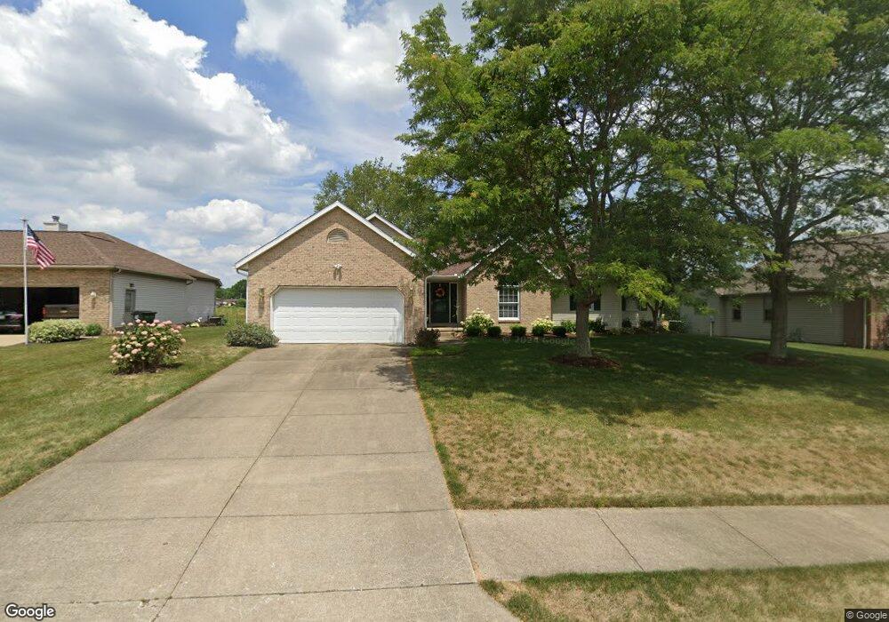
733 Joel Cir Louisville, OH 44641
Estimated Value: $279,000 - $333,000
2
Beds
3
Baths
2,188
Sq Ft
$142/Sq Ft
Est. Value
About This Home
This home is located at 733 Joel Cir, Louisville, OH 44641 and is currently estimated at $310,896, approximately $142 per square foot. 733 Joel Cir is a home located in Stark County with nearby schools including Louisville High School and St. Thomas Aquinas High School & Middle School.
Ownership History
Date
Name
Owned For
Owner Type
Purchase Details
Closed on
Apr 22, 1996
Sold by
Constitution Dev
Bought by
Jones Nancy A
Current Estimated Value
Home Financials for this Owner
Home Financials are based on the most recent Mortgage that was taken out on this home.
Original Mortgage
$85,000
Outstanding Balance
$4,035
Interest Rate
7.44%
Mortgage Type
New Conventional
Estimated Equity
$306,861
Purchase Details
Closed on
May 18, 1995
Sold by
Constitution Dev
Bought by
Monter Kevin P and Monter Kristina
Create a Home Valuation Report for This Property
The Home Valuation Report is an in-depth analysis detailing your home's value as well as a comparison with similar homes in the area
Home Values in the Area
Average Home Value in this Area
Purchase History
| Date | Buyer | Sale Price | Title Company |
|---|---|---|---|
| Jones Nancy A | $24,900 | -- | |
| Monter Kevin P | $23,900 | -- |
Source: Public Records
Mortgage History
| Date | Status | Borrower | Loan Amount |
|---|---|---|---|
| Open | Jones Nancy A | $85,000 |
Source: Public Records
Tax History Compared to Growth
Tax History
| Year | Tax Paid | Tax Assessment Tax Assessment Total Assessment is a certain percentage of the fair market value that is determined by local assessors to be the total taxable value of land and additions on the property. | Land | Improvement |
|---|---|---|---|---|
| 2025 | -- | $102,380 | $15,650 | $86,730 |
| 2024 | -- | $102,380 | $15,650 | $86,730 |
| 2023 | $3,145 | $82,360 | $12,950 | $69,410 |
| 2022 | $3,169 | $82,360 | $12,950 | $69,410 |
| 2021 | $3,178 | $82,360 | $12,950 | $69,410 |
| 2020 | $2,512 | $71,930 | $11,660 | $60,270 |
| 2019 | $2,516 | $71,930 | $11,660 | $60,270 |
| 2018 | $2,512 | $71,930 | $11,660 | $60,270 |
| 2017 | $2,407 | $67,170 | $9,770 | $57,400 |
| 2016 | $2,457 | $67,170 | $9,770 | $57,400 |
| 2015 | $2,464 | $67,170 | $9,770 | $57,400 |
| 2014 | $304 | $59,540 | $8,650 | $50,890 |
| 2013 | $1,156 | $59,540 | $8,650 | $50,890 |
Source: Public Records
Map
Nearby Homes
- 300 Kennedy St
- 1149 Sturbridge Dr
- 1175 Sturbridge Dr
- 614 Reno Dr
- 524 Glenbar St
- 428 Honeycrisp Dr NE
- 3047 Mcintosh Dr NE
- 432 Honeycrisp Dr NE
- 2962 Mcintosh Dr NE
- 2963 Mcintosh Dr NE
- 430 Honeycrisp Dr NE
- 2957 Mcintosh Dr NE
- 0 Brookridge Ave
- 0 Glenbar St
- 3580 Brookridge Ave Lot 15
- 5474 Ravenna Ave
- 316 E Reno Dr
- 325 Lincoln Ave
- 248 Menegay Rd
- 201 Indiana Ave