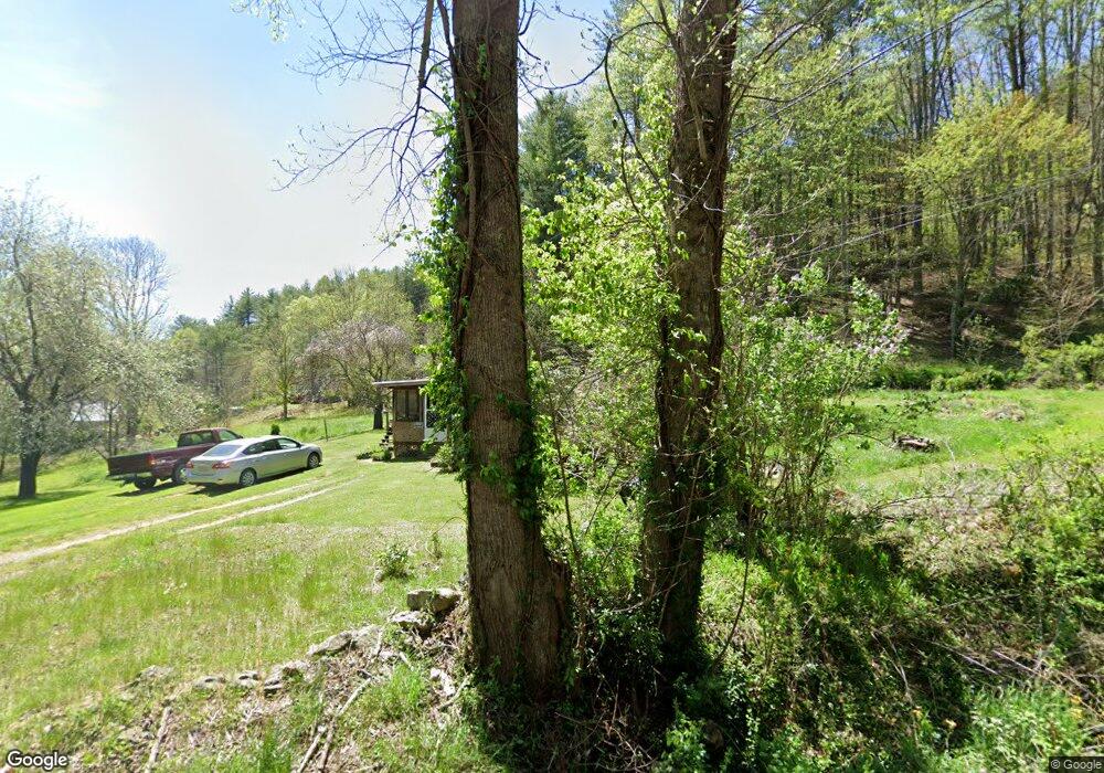
733 Jr Pate Rd Burnsville, NC 28714
Estimated Value: $373,000 - $463,528
2
Beds
2
Baths
888
Sq Ft
$460/Sq Ft
Est. Value
About This Home
This home is located at 733 Jr Pate Rd, Burnsville, NC 28714 and is currently estimated at $408,176, approximately $459 per square foot. 733 Jr Pate Rd is a home with nearby schools including Mountain Heritage High School.
Create a Home Valuation Report for This Property
The Home Valuation Report is an in-depth analysis detailing your home's value as well as a comparison with similar homes in the area
Home Values in the Area
Average Home Value in this Area
Tax History Compared to Growth
Tax History
| Year | Tax Paid | Tax Assessment Tax Assessment Total Assessment is a certain percentage of the fair market value that is determined by local assessors to be the total taxable value of land and additions on the property. | Land | Improvement |
|---|---|---|---|---|
| 2025 | $1,770 | $359,900 | $161,500 | $198,400 |
| 2024 | $1,770 | $359,900 | $161,500 | $198,400 |
| 2023 | $648 | $126,200 | $76,300 | $49,900 |
| 2022 | $635 | $126,200 | $76,300 | $49,900 |
| 2021 | $648 | $126,200 | $76,300 | $49,900 |
| 2020 | $648 | $126,200 | $76,300 | $49,900 |
| 2019 | $648 | $126,200 | $76,300 | $49,900 |
| 2018 | $648 | $126,200 | $76,300 | $49,900 |
| 2017 | $648 | $126,200 | $76,300 | $49,900 |
| 2016 | $648 | $126,200 | $76,300 | $49,900 |
| 2015 | $860 | $195,300 | $132,800 | $62,500 |
| 2014 | $1,055 | $195,300 | $132,800 | $62,500 |
Source: Public Records
Map
Nearby Homes
- 707 Lickskillet Rd
- 18 Misty Meadows Rd
- 211 Evergreen Rd
- 151 Swiss Loop
- 99999 Windswept Dr
- 351 Swiss Loop
- 239 Pleasant Valley Rd
- 31 acres Scronce Creek Rd
- 423 Hardscrabble Rd
- 237 Hickory Nut Ridge Rd Unit 10
- 1201 Simms Fork Rd
- 1375 Swing Rd
- 10 Blossom Dr
- 384 Doan Town Rd
- 1675 Ponder Creek Rd
- TBD US 19w Hwy
- 351 Buck Springs Run
- 222 Fox Creek Rd
- 456 Windy Gap Rd
- 2311 Old Mountain Rd