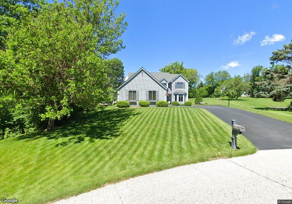
733 Lone Tree Bend Delafield, WI 53018
Estimated Value: $663,000 - $750,000
4
Beds
3
Baths
--
Sq Ft
24,394
Sq Ft Lot
About This Home
This home is located at 733 Lone Tree Bend, Delafield, WI 53018 and is currently estimated at $705,149. 733 Lone Tree Bend is a home located in Waukesha County with nearby schools including Cushing Elementary School, Kettle Moraine Middle School, and Kettle Moraine High School.
Ownership History
Date
Name
Owned For
Owner Type
Purchase Details
Closed on
Sep 30, 1999
Sold by
Protasiewicz Michael E and Protasiewicz Karen A
Bought by
Hinds David W and Hinds Margaret M
Current Estimated Value
Home Financials for this Owner
Home Financials are based on the most recent Mortgage that was taken out on this home.
Original Mortgage
$125,000
Outstanding Balance
$36,426
Interest Rate
7.83%
Mortgage Type
Purchase Money Mortgage
Estimated Equity
$668,723
Create a Home Valuation Report for This Property
The Home Valuation Report is an in-depth analysis detailing your home's value as well as a comparison with similar homes in the area
Home Values in the Area
Average Home Value in this Area
Purchase History
| Date | Buyer | Sale Price | Title Company |
|---|---|---|---|
| Hinds David W | $270,000 | -- |
Source: Public Records
Mortgage History
| Date | Status | Borrower | Loan Amount |
|---|---|---|---|
| Open | Hinds David W | $125,000 |
Source: Public Records
Tax History
| Year | Tax Paid | Tax Assessment Tax Assessment Total Assessment is a certain percentage of the fair market value that is determined by local assessors to be the total taxable value of land and additions on the property. | Land | Improvement |
|---|---|---|---|---|
| 2024 | $6,449 | $471,800 | $116,200 | $355,600 |
| 2023 | $6,260 | $471,800 | $116,200 | $355,600 |
| 2022 | $5,765 | $471,800 | $116,200 | $355,600 |
| 2021 | $5,618 | $359,400 | $93,000 | $266,400 |
| 2020 | $5,690 | $359,400 | $93,000 | $266,400 |
| 2019 | $5,416 | $359,400 | $93,000 | $266,400 |
| 2018 | $5,292 | $359,400 | $93,000 | $266,400 |
| 2017 | $5,270 | $359,400 | $93,000 | $266,400 |
| 2016 | $5,353 | $359,400 | $93,000 | $266,400 |
| 2015 | $5,551 | $359,400 | $93,000 | $266,400 |
| 2014 | $5,838 | $359,400 | $93,000 | $266,400 |
| 2013 | $5,838 | $362,600 | $94,000 | $268,600 |
Source: Public Records
Map
Nearby Homes
- 545 Wisconsin Ave
- 805 Wells St Unit 4
- 805 Wells St Unit 2
- 805 Wells St Unit 3
- 805 Wells St Unit 1
- 1213 Main St
- 1001 Park Way
- 1026 Park Way
- 637 1st St
- 2736 Nagawicka Ave
- 3024 Nagawicka Ave
- 323 Riverview Dr Unit 4
- 311 S Lapham Peak Rd Unit 13
- N40W33325 Woodsview Dr
- 1815 Bark River Dr
- N41W33425 Nashotah Rd
- N43W32801 Rasmus Rd Unit 9D
- 3082 Monona Ct
- N43W32953 Rasmus Rd Unit 3-H
- 2826 Yahara Dr
- 737 Lone Tree Bend
- 731 Hawks Hollow
- 729 Hawks Hollow Unit 731
- 726 Saint Johns Dr Unit 728
- 831 Lone Tree Bend
- 683 Anthony Ct
- 728 Hawks Hollow
- 679 Anthony Ct
- 736 W Shore Dr Unit 738
- 685 Anthony Ct Unit 687
- 738 W Shore Dr
- 828 Hawks Hollow
- 655 Anthony Ct
- 833 Hawks Hollow
- 832 Hawks Hollow
- 724 Saint Johns Dr
- 828 W Shore Dr Unit 830
- 731 Saint Johns Dr
- 733 W Shore Dr
- 830 W Shore Dr
Your Personal Tour Guide
Ask me questions while you tour the home.