733 Maple Hill Rd Wellsboro, PA 16901
Estimated Value: $335,000 - $345,016
3
Beds
2
Baths
1,456
Sq Ft
$234/Sq Ft
Est. Value
About This Home
This home is located at 733 Maple Hill Rd, Wellsboro, PA 16901 and is currently estimated at $340,005, approximately $233 per square foot. 733 Maple Hill Rd is a home located in Tioga County with nearby schools including Charlotte Lappla Elementary School, Don Gill Elementary School, and Rock L. Butler Middle School.
Ownership History
Date
Name
Owned For
Owner Type
Purchase Details
Closed on
May 18, 2006
Sold by
Signor Edward J and Signor June
Bought by
Tremper William R and Tremper Pamela A
Current Estimated Value
Home Financials for this Owner
Home Financials are based on the most recent Mortgage that was taken out on this home.
Original Mortgage
$150,000
Outstanding Balance
$91,525
Interest Rate
6.87%
Mortgage Type
Construction
Estimated Equity
$248,480
Create a Home Valuation Report for This Property
The Home Valuation Report is an in-depth analysis detailing your home's value as well as a comparison with similar homes in the area
Home Values in the Area
Average Home Value in this Area
Purchase History
| Date | Buyer | Sale Price | Title Company |
|---|---|---|---|
| Tremper William R | $52,500 | None Available |
Source: Public Records
Mortgage History
| Date | Status | Borrower | Loan Amount |
|---|---|---|---|
| Open | Tremper William R | $150,000 |
Source: Public Records
Tax History Compared to Growth
Tax History
| Year | Tax Paid | Tax Assessment Tax Assessment Total Assessment is a certain percentage of the fair market value that is determined by local assessors to be the total taxable value of land and additions on the property. | Land | Improvement |
|---|---|---|---|---|
| 2025 | $3,291 | $215,920 | $40,510 | $175,410 |
| 2024 | $5,082 | $215,920 | $40,510 | $175,410 |
| 2023 | $3,496 | $123,720 | $18,650 | $105,070 |
| 2022 | $3,498 | $123,720 | $18,650 | $105,070 |
| 2021 | $3,453 | $123,720 | $18,650 | $105,070 |
| 2020 | $3,457 | $123,720 | $18,650 | $105,070 |
| 2019 | $3,412 | $123,720 | $18,650 | $105,070 |
| 2018 | $3,396 | $123,720 | $18,650 | $105,070 |
| 2017 | -- | $123,720 | $18,650 | $105,070 |
| 2016 | $3,348 | $127,280 | $22,210 | $105,070 |
| 2015 | -- | $123,720 | $18,650 | $105,070 |
| 2014 | -- | $123,720 | $18,650 | $105,070 |
Source: Public Records
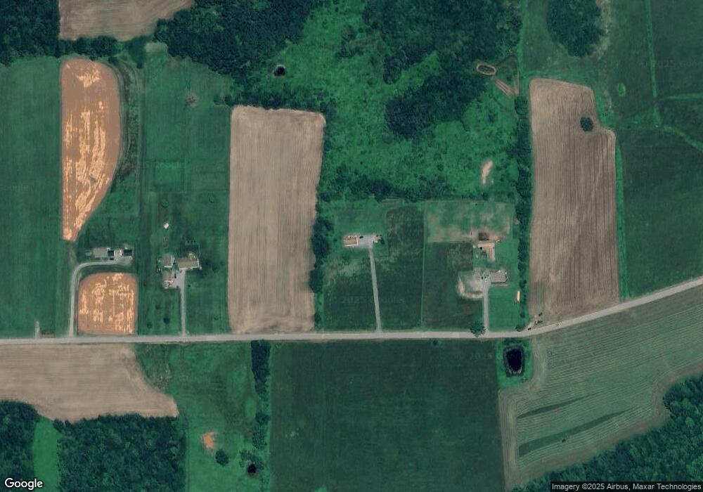
Map
Nearby Homes
- 511 Steam Mill Rd
- 794 Welsh Rd
- 311 Jackson Rd
- 75 Nickel Ln
- 138 Sweet Briar Rd
- 589 New Rd
- 26 Skyline Dr
- 0 Niles Rd
- 410 Johnson Hill Rd
- 42 Wheeler Ln Unit LOT5
- 42 Wheeler Ln (Lot#5)
- 22 Woodland Ave
- 77 Hunters Trail Rd
- 0 Charleston Road Williams Cir Unit 31722007
- 2 acres Charleston Rd
- 000 Charleston Rd
- Lot 2 Hunters Ridge Rd
- 3119 Cherry Flats Rd
- 75 Central Ave
- Lot #4 Hunters Trail Rd
- 657 Maple Hill Rd
- 609 Maple Hill Rd
- 880 Maple Hill Rd
- 912 Steam Mill Rd
- 838 Steam Mill Rd
- 743 Steam Mill Rd
- 651 Steam Mill Rd
- 628 Steam Mill Rd
- 635 Steam Mill Rd
- 615 Steam Mill Rd
- 183 Welsh Rd
- 400 Maple Hill Rd
- 385 Maple Hill Rd
- 226 Welsh Rd
- 0 Steam Mill Rd
- 1070 Maple Hill Rd
- 4407 Arnot Rd
- 880 Mills Hill Rd
- 321 Maple Hill Rd
- 4312 Arnot Rd