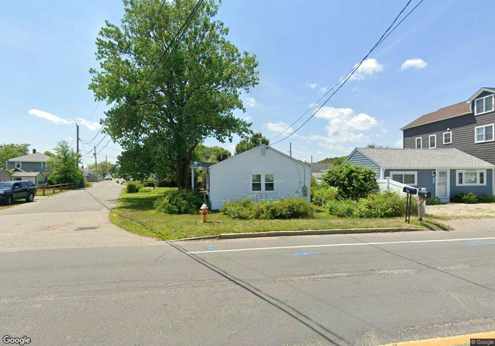
733 Ocean St Marshfield, MA 02050
Ocean Bluff-Brant Rock NeighborhoodEstimated Value: $451,673 - $497,000
2
Beds
1
Bath
646
Sq Ft
$733/Sq Ft
Est. Value
About This Home
This home is located at 733 Ocean St, Marshfield, MA 02050 and is currently estimated at $473,668, approximately $733 per square foot. 733 Ocean St is a home with nearby schools including Daniel Webster, Furnace Brook Middle School, and Marshfield High School.
Create a Home Valuation Report for This Property
The Home Valuation Report is an in-depth analysis detailing your home's value as well as a comparison with similar homes in the area
Home Values in the Area
Average Home Value in this Area
Tax History Compared to Growth
Tax History
| Year | Tax Paid | Tax Assessment Tax Assessment Total Assessment is a certain percentage of the fair market value that is determined by local assessors to be the total taxable value of land and additions on the property. | Land | Improvement |
|---|---|---|---|---|
| 2025 | $3,853 | $389,200 | $291,100 | $98,100 |
| 2024 | $3,837 | $369,300 | $277,300 | $92,000 |
| 2023 | $3,585 | $333,100 | $257,500 | $75,600 |
| 2022 | $3,585 | $276,800 | $207,900 | $68,900 |
| 2021 | $3,516 | $266,600 | $206,000 | $60,600 |
| 2020 | $3,275 | $245,700 | $188,100 | $57,600 |
| 2019 | $3,246 | $242,600 | $188,100 | $54,500 |
| 2018 | $3,244 | $242,600 | $188,100 | $54,500 |
| 2017 | $3,062 | $223,200 | $178,200 | $45,000 |
| 2016 | $2,961 | $213,300 | $168,300 | $45,000 |
| 2015 | $2,835 | $213,300 | $168,300 | $45,000 |
| 2014 | $2,685 | $202,000 | $154,500 | $47,500 |
Source: Public Records
Map
Nearby Homes