Estimated Value: $394,000
--
Bed
--
Bath
1,064
Sq Ft
$370/Sq Ft
Est. Value
About This Home
This home is located at 733 Olive Branch Rd, Brock, TX 76087 and is currently estimated at $394,000, approximately $370 per square foot. 733 Olive Branch Rd is a home located in Parker County with nearby schools including Brock Intermediate School, Brock Junior High School, and Brock High School.
Ownership History
Date
Name
Owned For
Owner Type
Purchase Details
Closed on
Jul 22, 2025
Sold by
Harrys Greenhouse Incorporated
Bought by
Crown Ranch Land Holdings Lp
Current Estimated Value
Home Financials for this Owner
Home Financials are based on the most recent Mortgage that was taken out on this home.
Original Mortgage
$4,500,000
Outstanding Balance
$4,373,408
Interest Rate
6.84%
Mortgage Type
New Conventional
Estimated Equity
-$3,979,408
Purchase Details
Closed on
Jun 21, 1977
Bought by
Harrys Greenhouse Inc
Create a Home Valuation Report for This Property
The Home Valuation Report is an in-depth analysis detailing your home's value as well as a comparison with similar homes in the area
Home Values in the Area
Average Home Value in this Area
Purchase History
| Date | Buyer | Sale Price | Title Company |
|---|---|---|---|
| Crown Ranch Land Holdings Lp | -- | None Listed On Document | |
| Harrys Greenhouse Inc | -- | -- |
Source: Public Records
Mortgage History
| Date | Status | Borrower | Loan Amount |
|---|---|---|---|
| Open | Crown Ranch Land Holdings Lp | $4,500,000 |
Source: Public Records
Tax History Compared to Growth
Tax History
| Year | Tax Paid | Tax Assessment Tax Assessment Total Assessment is a certain percentage of the fair market value that is determined by local assessors to be the total taxable value of land and additions on the property. | Land | Improvement |
|---|---|---|---|---|
| 2025 | $2,427 | $129,690 | $22,500 | $107,190 |
| 2024 | $2,427 | $131,210 | $22,500 | $108,710 |
| 2023 | $2,427 | $131,210 | $22,500 | $108,710 |
| 2022 | $1,449 | $71,360 | $12,000 | $59,360 |
| 2021 | $1,524 | $71,360 | $12,000 | $59,360 |
| 2020 | $1,403 | $64,840 | $10,000 | $54,840 |
| 2019 | $1,511 | $64,840 | $10,000 | $54,840 |
| 2018 | $1,587 | $67,780 | $7,000 | $60,780 |
| 2017 | $1,559 | $67,780 | $7,000 | $60,780 |
| 2016 | $1,447 | $62,880 | $7,590 | $55,290 |
| 2015 | $1,428 | $62,880 | $7,590 | $55,290 |
| 2014 | $1,192 | $51,940 | $5,000 | $46,940 |
Source: Public Records
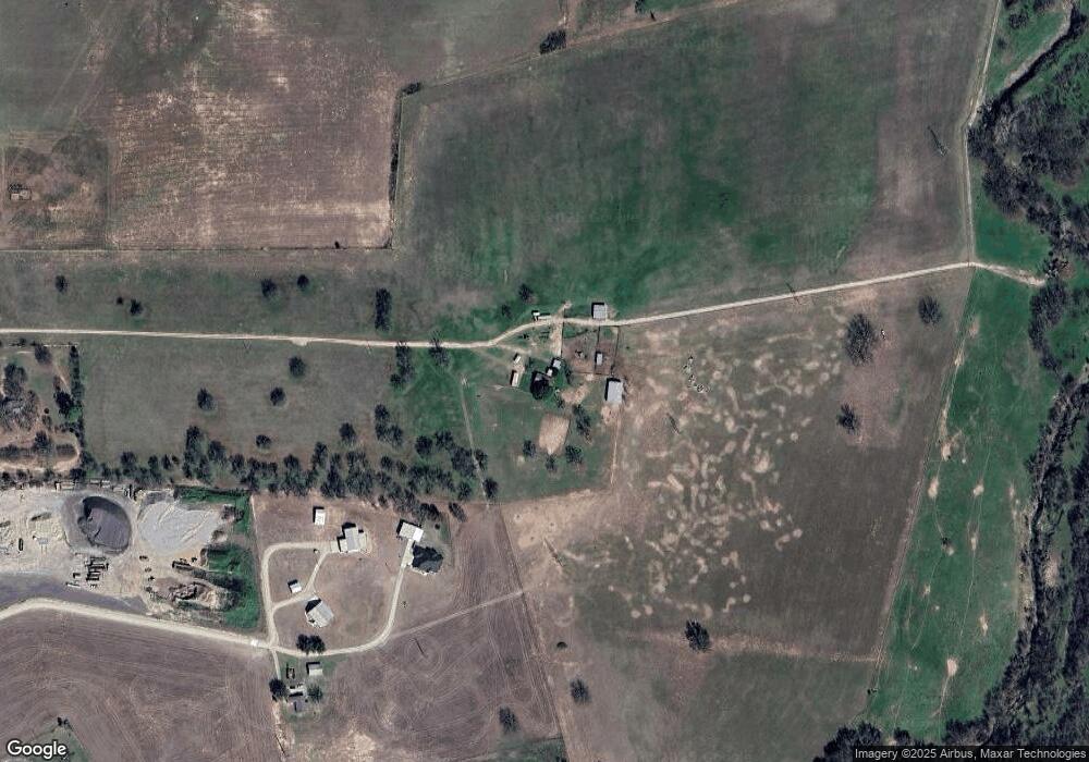
Map
Nearby Homes
- 4000 Luciano Dr
- 3036 Palermo Dr
- 169 Savannah Dr
- 1700 Fm 1189
- 181 Savannah Dr
- 2007 Verona Dr
- 734 Young Bend Rd
- 2004 Verona Dr
- 401 Brock Spur
- 2041 Verona Dr
- 102 Eagle Pass Ln
- 2026 Verona Dr
- 2030 Verona Dr
- 2053 Verona Dr
- 2042 Verona Dr
- 304 Red Roan Ridge
- XXXX Wolf Hollow
- 7530 W Interstate 20
- TBD Grindstone Rd
- TBD1 Farm To Market Road 1189
- 1155 Fm 1189
- 1153 Fm 1189
- 1151 Fm 1189
- 1171 Fm 1189
- 1451 Fm 1189
- 739 Olive Branch Rd
- 751 Olive Branch Rd
- 755 Olive Branch Rd
- 625 Olive Branch Rd
- 684 Olive Branch Rd
- 714 Olive Branch Rd
- 753 Olive Branch Rd
- 700 Olive Branch Rd
- 757 Olive Branch Rd
- 670 Olive Branch Rd
- 148 Eagle Meadow Dr
- 148 Eagle Meadow Dr
- 136 Eagle Meadow Dr
- 142 Eagle Meadow Dr
- 138 Eagle Meadow Dr