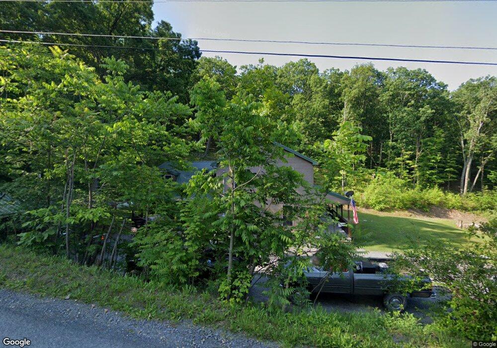
733 Stoner Rd Mifflintown, PA 17059
Estimated Value: $115,508 - $341,000
2
Beds
1
Bath
1,920
Sq Ft
$116/Sq Ft
Est. Value
About This Home
This home is located at 733 Stoner Rd, Mifflintown, PA 17059 and is currently estimated at $222,627, approximately $115 per square foot. 733 Stoner Rd is a home located in Juniata County with nearby schools including Juniata Elementary School, Tuscarora Middle School, and Juniata Senior High School.
Ownership History
Date
Name
Owned For
Owner Type
Purchase Details
Closed on
Jul 17, 2015
Sold by
Landis Tyler R and Landis Stacy Lynn
Bought by
Landis Tyler R and Landis Stacy Lynn
Current Estimated Value
Home Financials for this Owner
Home Financials are based on the most recent Mortgage that was taken out on this home.
Original Mortgage
$209,000
Outstanding Balance
$153,219
Interest Rate
4.62%
Mortgage Type
Construction
Estimated Equity
$69,408
Purchase Details
Closed on
Dec 15, 2014
Sold by
Dupler Bryan C and Dupler Marna K
Bought by
Landis Tyler R and Landis Stacy Lynn
Create a Home Valuation Report for This Property
The Home Valuation Report is an in-depth analysis detailing your home's value as well as a comparison with similar homes in the area
Home Values in the Area
Average Home Value in this Area
Purchase History
| Date | Buyer | Sale Price | Title Company |
|---|---|---|---|
| Landis Tyler R | -- | None Available | |
| Landis Tyler R | $70,000 | None Available |
Source: Public Records
Mortgage History
| Date | Status | Borrower | Loan Amount |
|---|---|---|---|
| Open | Landis Tyler R | $209,000 |
Source: Public Records
Tax History Compared to Growth
Tax History
| Year | Tax Paid | Tax Assessment Tax Assessment Total Assessment is a certain percentage of the fair market value that is determined by local assessors to be the total taxable value of land and additions on the property. | Land | Improvement |
|---|---|---|---|---|
| 2025 | $3,795 | $32,520 | $1,000 | $31,520 |
| 2024 | $3,476 | $32,520 | $1,000 | $31,520 |
| 2023 | $3,363 | $32,520 | $1,000 | $31,520 |
| 2022 | $3,308 | $32,520 | $1,000 | $31,520 |
| 2021 | $3,179 | $32,520 | $1,000 | $31,520 |
| 2020 | $2,962 | $32,520 | $1,000 | $31,520 |
| 2019 | $2,957 | $32,520 | $1,000 | $31,520 |
| 2018 | $2,913 | $32,520 | $1,000 | $31,520 |
| 2017 | -- | $32,520 | $1,000 | $31,520 |
| 2016 | $1,002 | $32,520 | $1,000 | $31,520 |
| 2015 | -- | $11,880 | $1,000 | $10,880 |
| 2014 | -- | $11,080 | $600 | $10,480 |
Source: Public Records
Map
Nearby Homes
- 327 La Rue Ln
- 600, 650, 656 Airport Dr
- 250 Oak Ln
- 25533 Route 35 N
- US Route 322 and Rou Kauffman Ln
- 255 Sycamore Dr
- 2679 Industrial Park Rd
- 400 Mountain Springs Ln
- 239 Dolan Heights Rd
- 292 Manbeck Ln
- 305 Orange St
- 114 Summit St
- 202 Licking St
- 0 00 Gingerfield Drive (Lot 7&8)
- 99 Bridge St
- 6 Main St
- 10 S 3rd St
- 10 Ginger Ln
- 1145 Cedar Springs Rd
- 93 Howell Dr
- 816 Stoner Rd
- 419 Stoner Rd
- 610 Stoner Rd
- 170 Griffin Ln
- 272 Sun Valley Dr
- 309 Stoner Rd
- 347 La Rue Ln
- 2038 Arch Rock Rd
- 1999 Arch Rock Rd
- 227 Winding Creek Ln
- 2035 Arch Rock Rd
- 1912 Arch Rock Rd
- 306 La Rue Ln
- 2178 Arch Rock Rd
- 42 Daniel Dr
- 15 Conn Ln
- 177 Sun Valley Dr
- 40 Britcher Dr
- 69 Britcher Dr
- 2171 Arch Rock Rd