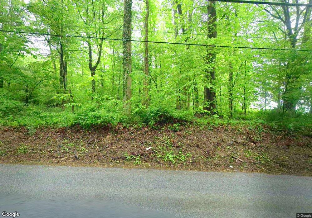
733 Street Rd West Grove, PA 19390
Estimated Value: $449,154 - $595,000
3
Beds
2
Baths
1,788
Sq Ft
$288/Sq Ft
Est. Value
About This Home
This home is located at 733 Street Rd, West Grove, PA 19390 and is currently estimated at $515,039, approximately $288 per square foot. 733 Street Rd is a home located in Chester County with nearby schools including Penn London Elementary School, Avon Grove Intermediate School, and Fred S Engle Middle School.
Ownership History
Date
Name
Owned For
Owner Type
Purchase Details
Closed on
Jan 25, 2022
Sold by
Boltz Marion P
Bought by
Connon Andrew L
Current Estimated Value
Purchase Details
Closed on
Jan 30, 2007
Sold by
Baer Kevin and Baer Lori O
Bought by
Boltz Marion P
Create a Home Valuation Report for This Property
The Home Valuation Report is an in-depth analysis detailing your home's value as well as a comparison with similar homes in the area
Home Values in the Area
Average Home Value in this Area
Purchase History
| Date | Buyer | Sale Price | Title Company |
|---|---|---|---|
| Connon Andrew L | $360,000 | Lanchester Land Transfer Llc | |
| Boltz Marion P | $330,000 | None Available |
Source: Public Records
Tax History Compared to Growth
Tax History
| Year | Tax Paid | Tax Assessment Tax Assessment Total Assessment is a certain percentage of the fair market value that is determined by local assessors to be the total taxable value of land and additions on the property. | Land | Improvement |
|---|---|---|---|---|
| 2025 | $6,517 | $159,930 | $47,050 | $112,880 |
| 2024 | $6,517 | $159,930 | $47,050 | $112,880 |
| 2023 | $6,381 | $159,930 | $47,050 | $112,880 |
| 2022 | $6,289 | $159,930 | $47,050 | $112,880 |
| 2021 | $6,159 | $159,930 | $47,050 | $112,880 |
| 2020 | $5,954 | $159,930 | $47,050 | $112,880 |
| 2019 | $5,807 | $159,930 | $47,050 | $112,880 |
| 2018 | $5,660 | $159,930 | $47,050 | $112,880 |
| 2017 | $5,543 | $159,930 | $47,050 | $112,880 |
| 2016 | $4,481 | $159,930 | $47,050 | $112,880 |
| 2015 | $4,481 | $159,930 | $47,050 | $112,880 |
| 2014 | $4,481 | $159,930 | $47,050 | $112,880 |
Source: Public Records
Map
Nearby Homes
- 645 Coatesville Rd
- 534 Coatesville Rd
- 2655 Gap Newport Pike
- 1025 N Chatham Rd
- 120 Funk Rd
- 113 Ronway Dr
- 8 Williams Way
- 1321 N Chatham Rd
- 95 Gap Newport Pike
- 400 N Guernsey Rd
- 423 N Guernsey Rd
- 1269 Newark Rd
- 380 Upland Rd
- 313 Church St
- 25 Holly Dr
- 200 Pennsylvania Ave
- 180 Springdell Rd
- 117 Railroad Ave Unit 10
- 26 Inniscrone Dr
- 8 Prospect Ave
- 725 Street Rd
- 745 Street Rd
- 341 Lamborntown Rd
- 287 Lamborntown Rd
- 329 Lamborntown Rd
- 566 Street Rd
- 583 Street Rd
- 358 Lamborntown Rd
- 573 Street Rd
- 960 W Street Rd
- 534 Street Rd
- 254 Lamborntown Rd
- 361 Lamborntown Rd
- 245 Clonmell Upland Rd
- 278 Clonmell Upland Rd
- 584 Hannum Mill Rd
- 525 Street Rd
- 524 Street Rd
- 0 Howell Moore Rd Unit 5599844
- 457 E London Grove Rd
