Estimated Value: $251,000 - $276,971
3
Beds
2
Baths
1,105
Sq Ft
$235/Sq Ft
Est. Value
About This Home
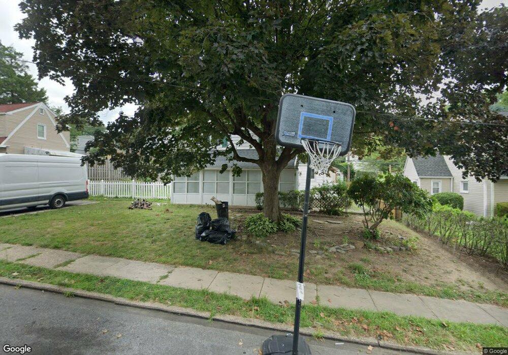
This home is located at 733 Thorndale Rd, Aldan, PA 19018 and is currently estimated at $259,243, approximately $234 per square foot. 733 Thorndale Rd is a home located in Delaware County with nearby schools including Primos El School, Drexel Hill Middle School, and Upper Darby High School.
Ownership History
Date
Name
Owned For
Owner Type
Purchase Details
Closed on
May 23, 2002
Sold by
Ward Thomas and Loughney Marie
Bought by
Garcia Taurino and Garcia Nichole
Current Estimated Value
Home Financials for this Owner
Home Financials are based on the most recent Mortgage that was taken out on this home.
Original Mortgage
$93,500
Outstanding Balance
$39,009
Interest Rate
6.9%
Estimated Equity
$220,234
Create a Home Valuation Report for This Property
The Home Valuation Report is an in-depth analysis detailing your home's value as well as a comparison with similar homes in the area
Home Values in the Area
Average Home Value in this Area
Purchase History
| Date | Buyer | Sale Price | Title Company |
|---|---|---|---|
| Garcia Taurino | $93,500 | Commonwealth Land Title Ins |
Source: Public Records
Mortgage History
| Date | Status | Borrower | Loan Amount |
|---|---|---|---|
| Open | Garcia Taurino | $93,500 |
Source: Public Records
Tax History Compared to Growth
Tax History
| Year | Tax Paid | Tax Assessment Tax Assessment Total Assessment is a certain percentage of the fair market value that is determined by local assessors to be the total taxable value of land and additions on the property. | Land | Improvement |
|---|---|---|---|---|
| 2025 | $5,466 | $129,250 | $38,270 | $90,980 |
| 2024 | $5,466 | $129,250 | $38,270 | $90,980 |
| 2023 | $5,415 | $129,250 | $38,270 | $90,980 |
| 2022 | $5,269 | $129,250 | $38,270 | $90,980 |
| 2021 | $7,105 | $129,250 | $38,270 | $90,980 |
| 2020 | $4,665 | $72,110 | $30,860 | $41,250 |
| 2019 | $4,583 | $72,110 | $30,860 | $41,250 |
| 2018 | $4,530 | $72,110 | $0 | $0 |
| 2017 | $4,412 | $72,110 | $0 | $0 |
| 2016 | $396 | $72,110 | $0 | $0 |
| 2015 | $396 | $72,110 | $0 | $0 |
| 2014 | $396 | $72,110 | $0 | $0 |
Source: Public Records
Map
Nearby Homes
- 722 Thorndale Rd
- 603 Montana Ave
- 428 Walnut Ave
- 338 Springfield Rd
- 422 Rively Ave
- 321 E Magnolia Ave
- 14 W Providence Rd
- 1027 Windsor Rd
- 208 Rosewood Ave
- 159 W Maryland Ave
- 27 Concord Rd
- 29 Concord Rd
- 101 S Glenwood Ave
- 108 Gladstone Rd
- 233 Scottdale Rd
- 129 Branford Rd
- 30 E Providence Rd
- 28 S 12th St
- 32 Elder Ave
- 108 S Clifton Ave
- 735 Thorndale Rd
- 731 Thorndale Rd
- 732 E Providence Rd
- 734 E Providence Rd
- 730 E Providence Rd
- 737 Thorndale Rd
- 729 Thorndale Rd
- 734 Thorndale Rd
- 730 Thorndale Rd
- 736 E Providence Rd
- 728 E Providence Rd
- 736 Thorndale Rd
- 728 Thorndale Rd
- 733 Westwood Ln
- 739 Thorndale Rd
- 735 Westwood Ln
- 727 Thorndale Rd
- 731 Westwood Ln
- 738 E Providence Rd
- 726 E Providence Rd