733 W Mays Path Hernando, FL 34442
Estimated Value: $537,000 - $626,000
4
Beds
3
Baths
2,880
Sq Ft
$202/Sq Ft
Est. Value
About This Home
This home is located at 733 W Mays Path, Hernando, FL 34442 and is currently estimated at $582,386, approximately $202 per square foot. 733 W Mays Path is a home located in Citrus County with nearby schools including Forest Ridge Elementary School, Lecanto Middle School, and Lecanto High School.
Ownership History
Date
Name
Owned For
Owner Type
Purchase Details
Closed on
Jul 20, 2017
Sold by
Tamms Thomas N and Tamms Carole S
Bought by
Tamms Thomas N and Tamms Carole S
Current Estimated Value
Purchase Details
Closed on
Apr 23, 2004
Sold by
Kania James S and Kania Mary Jane T
Bought by
Tamms Thomas and Tamms Carole S
Home Financials for this Owner
Home Financials are based on the most recent Mortgage that was taken out on this home.
Original Mortgage
$268,000
Outstanding Balance
$108,419
Interest Rate
3.87%
Mortgage Type
Purchase Money Mortgage
Estimated Equity
$473,967
Purchase Details
Closed on
Oct 1, 1999
Bought by
Tamms Thomas N and Tamms Carole S
Create a Home Valuation Report for This Property
The Home Valuation Report is an in-depth analysis detailing your home's value as well as a comparison with similar homes in the area
Home Values in the Area
Average Home Value in this Area
Purchase History
| Date | Buyer | Sale Price | Title Company |
|---|---|---|---|
| Tamms Thomas N | -- | Attorney | |
| Tamms Thomas | $335,000 | Manatee Title Co Inc | |
| Tamms Thomas N | $58,900 | -- |
Source: Public Records
Mortgage History
| Date | Status | Borrower | Loan Amount |
|---|---|---|---|
| Open | Tamms Thomas | $268,000 |
Source: Public Records
Tax History
| Year | Tax Paid | Tax Assessment Tax Assessment Total Assessment is a certain percentage of the fair market value that is determined by local assessors to be the total taxable value of land and additions on the property. | Land | Improvement |
|---|---|---|---|---|
| 2025 | $6,554 | $474,528 | $63,320 | $411,208 |
| 2024 | $6,409 | $477,394 | -- | -- |
| 2023 | $6,409 | $463,489 | $63,320 | $400,169 |
| 2022 | $5,693 | $408,634 | $63,320 | $345,314 |
| 2021 | $4,934 | $334,974 | $63,320 | $271,654 |
| 2020 | $4,654 | $313,093 | $63,370 | $249,723 |
| 2019 | $4,824 | $320,174 | $63,370 | $256,804 |
| 2018 | $3,544 | $320,311 | $63,370 | $256,941 |
| 2017 | $3,539 | $263,695 | $63,370 | $200,325 |
| 2016 | $3,592 | $258,271 | $63,370 | $194,901 |
| 2015 | $3,650 | $256,476 | $63,210 | $193,266 |
| 2014 | $3,738 | $254,440 | $58,532 | $195,908 |
Source: Public Records
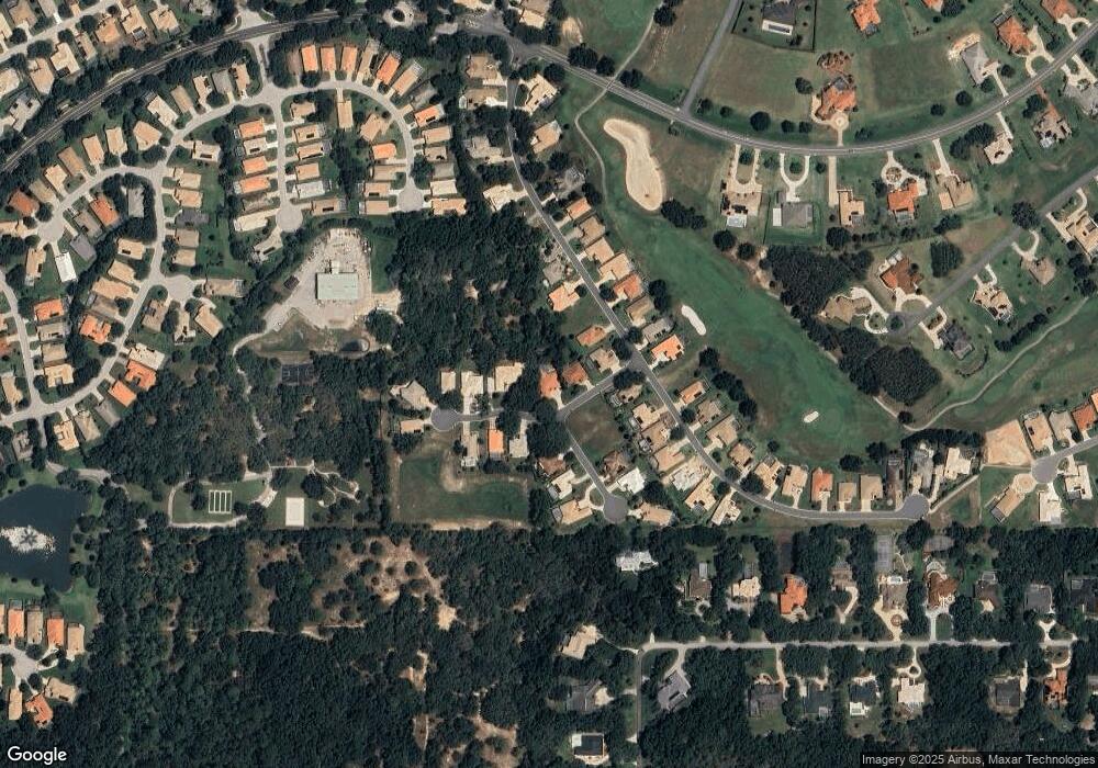
Map
Nearby Homes
- 1683 N Shadowview Path
- 509 W Fenway Dr
- 983 W Skyview Landings Dr
- 997 W Skyview Landings Dr
- 1049 W Lake Valley Ct
- 1543 N Killebrew Point
- 404 W Fenway Dr
- 657 W Keller St
- 1556 N Mccovey Point
- 1720 N Sky Glen Path
- 1861 N Eagle Chase Dr
- 2025 N Gibson Point
- 1173 W Skymont Path
- 251 W Mickey Mantle Path
- 305 W Chase St
- 1056 W Beagle Run Loop
- 629 W Liberty St
- 1905 N Eagle Chase Dr
- 1283 N Rockwood Point
- 1040 W Beagle Run Loop
- 711 W Mays Path
- 779 W Mays Path
- 1618 N Dimaggio Path
- 1638 N Dimaggio Path
- 1628 N Dimaggio Path
- 1568 N Yaz Point
- 758 W Mays Path
- 1604 N Dimaggio Path
- 780 W Mays Path
- 1646 N Dimaggio Path
- 1594 N Dimaggio Path
- 0 N Dimaggio Path
- 1605 N Dimaggio Path
- 1598 N Dimaggio Path
- 1540 N Yaz Point
- 794 W Mays Path
- 815 W Mays Path
- 1537 N Yaz Point
- 1590 N Dimaggio Path
- 1658 N Dimaggio Path
Your Personal Tour Guide
Ask me questions while you tour the home.