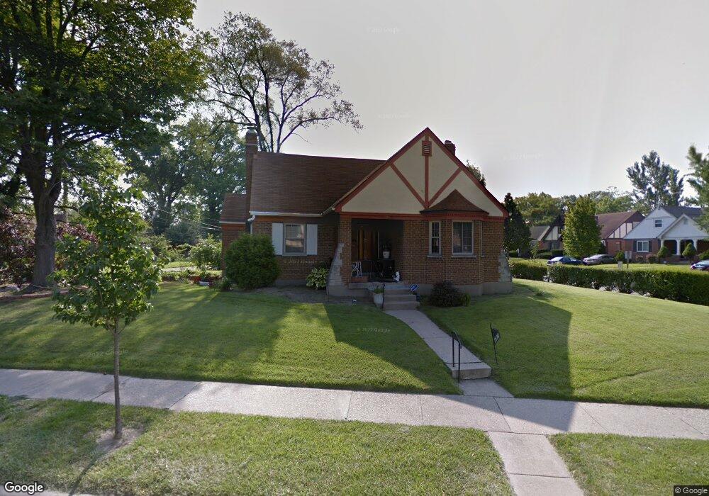
7330 Brookcrest Dr Cincinnati, OH 45237
Roselawn NeighborhoodEstimated Value: $242,000 - $351,000
3
Beds
1
Bath
2,036
Sq Ft
$138/Sq Ft
Est. Value
About This Home
This home is located at 7330 Brookcrest Dr, Cincinnati, OH 45237 and is currently estimated at $281,305, approximately $138 per square foot. 7330 Brookcrest Dr is a home located in Hamilton County with nearby schools including Roselawn Condon School, Shroder High School, and Clark Montessori High School.
Ownership History
Date
Name
Owned For
Owner Type
Purchase Details
Closed on
Jun 23, 1998
Sold by
Taylor Adrian S
Bought by
Watts Olivia
Current Estimated Value
Home Financials for this Owner
Home Financials are based on the most recent Mortgage that was taken out on this home.
Original Mortgage
$94,400
Interest Rate
7.17%
Create a Home Valuation Report for This Property
The Home Valuation Report is an in-depth analysis detailing your home's value as well as a comparison with similar homes in the area
Home Values in the Area
Average Home Value in this Area
Purchase History
| Date | Buyer | Sale Price | Title Company |
|---|---|---|---|
| Watts Olivia | -- | -- |
Source: Public Records
Mortgage History
| Date | Status | Borrower | Loan Amount |
|---|---|---|---|
| Closed | Watts Olivia | $94,400 |
Source: Public Records
Tax History
| Year | Tax Paid | Tax Assessment Tax Assessment Total Assessment is a certain percentage of the fair market value that is determined by local assessors to be the total taxable value of land and additions on the property. | Land | Improvement |
|---|---|---|---|---|
| 2025 | $3,697 | $59,186 | $10,133 | $49,053 |
| 2024 | $3,586 | $59,186 | $10,133 | $49,053 |
| 2023 | $3,666 | $59,186 | $10,133 | $49,053 |
| 2022 | $2,724 | $39,225 | $8,834 | $30,391 |
| 2021 | $2,606 | $39,225 | $8,834 | $30,391 |
| 2020 | $2,682 | $39,225 | $8,834 | $30,391 |
| 2019 | $2,690 | $35,987 | $8,106 | $27,881 |
| 2018 | $2,694 | $35,987 | $8,106 | $27,881 |
| 2017 | $2,558 | $35,987 | $8,106 | $27,881 |
| 2016 | $2,728 | $37,888 | $8,267 | $29,621 |
| 2015 | $2,463 | $37,888 | $8,267 | $29,621 |
| 2014 | $2,480 | $37,888 | $8,267 | $29,621 |
| 2013 | $2,472 | $37,146 | $8,106 | $29,040 |
Source: Public Records
Map
Nearby Homes
- 1622 Shenandoah Ave
- 1519 Section Rd
- 1535 Kenova Ave
- 1522 Kenova Ave
- 7119 Eastlawn Dr
- 6770 Elbrook Ave
- 6750 Elbrook Ave
- 1501 Summit Rd
- 2344 Losantiville Ave
- 1808 Crest Hill Ave
- 7833 Dawn Rd
- 6402 Mayflower Ave
- 2063 E Seymour Ave
- 6211 Mayflower Ave
- 6110 Stover Ave
- 8081 Woodbine Ave
- 2436 Bremont Ave
- 6202 Mayflower Ave
- 2507 Kellerman Ave
- 2537 Vera Ave
- 1808 Glendon Place
- 1812 Glendon Place
- 7350 Brookcrest Dr
- 7333 Brookcrest Dr
- 1816 Glendon Place
- 7329 Brookcrest Dr
- 7337 Brookcrest Dr
- 1805 Blackstone Place
- 1805 Glendon Place
- 1809 Glendon Place
- 7325 Brookcrest Dr
- 7341 Brookcrest Dr
- 7320 Brookcrest Dr
- 1813 Glendon Place
- 1809 Blackstone Place
- 1820 Glendon Place
- 7321 Brookcrest Dr
- 1817 Glendon Place
- 7345 Brookcrest Dr
- 1813 Blackstone Place
Your Personal Tour Guide
Ask me questions while you tour the home.