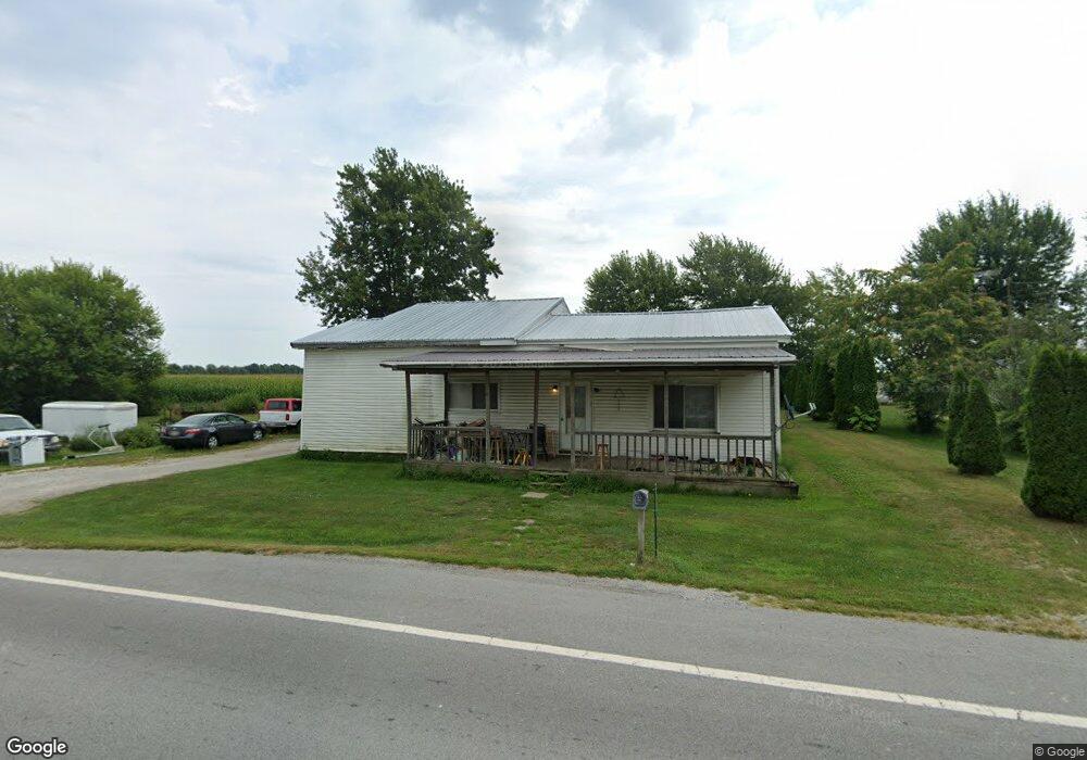
7330 State Route 53 Forest, OH 45843
Estimated Value: $144,014 - $219,000
4
Beds
1
Bath
1,368
Sq Ft
$134/Sq Ft
Est. Value
About This Home
This home is located at 7330 State Route 53, Forest, OH 45843 and is currently estimated at $183,004, approximately $133 per square foot. 7330 State Route 53 is a home located in Hardin County with nearby schools including Riverdale Middle School and Riverdale High School.
Ownership History
Date
Name
Owned For
Owner Type
Purchase Details
Closed on
Apr 6, 2016
Sold by
Quest Fcu
Bought by
Drumm Kenneth
Current Estimated Value
Purchase Details
Closed on
Oct 20, 2015
Bought by
Quest Federal Credit Union
Purchase Details
Closed on
Apr 16, 2015
Bought by
Drumm Kenneth
Purchase Details
Closed on
Sep 9, 2011
Sold by
Quest Federal Credit Union
Bought by
Treen Jennifer L
Home Financials for this Owner
Home Financials are based on the most recent Mortgage that was taken out on this home.
Original Mortgage
$56,000
Interest Rate
4.32%
Mortgage Type
Purchase Money Mortgage
Purchase Details
Closed on
Aug 5, 2011
Sold by
Martin Joseph P and Martin Kellie K
Bought by
Quest Federal Credit Union
Home Financials for this Owner
Home Financials are based on the most recent Mortgage that was taken out on this home.
Original Mortgage
$56,000
Interest Rate
4.32%
Mortgage Type
Purchase Money Mortgage
Purchase Details
Closed on
Dec 1, 2004
Bought by
Martin Joseph P
Purchase Details
Closed on
May 2, 1990
Create a Home Valuation Report for This Property
The Home Valuation Report is an in-depth analysis detailing your home's value as well as a comparison with similar homes in the area
Purchase History
| Date | Buyer | Sale Price | Title Company |
|---|---|---|---|
| Drumm Kenneth | $39,000 | None Available | |
| Quest Federal Credit Union | -- | -- | |
| Drumm Kenneth | $39,000 | -- | |
| Treen Jennifer L | $50,000 | None Available | |
| Quest Federal Credit Union | -- | None Available | |
| Martin Joseph P | $26,000 | -- | |
| -- | $20,000 | -- |
Source: Public Records
Mortgage History
| Date | Status | Borrower | Loan Amount |
|---|---|---|---|
| Previous Owner | Treen Jennifer L | $56,000 |
Source: Public Records
Tax History
| Year | Tax Paid | Tax Assessment Tax Assessment Total Assessment is a certain percentage of the fair market value that is determined by local assessors to be the total taxable value of land and additions on the property. | Land | Improvement |
|---|---|---|---|---|
| 2024 | $1,162 | $33,850 | $4,470 | $29,380 |
| 2023 | $1,150 | $33,850 | $4,470 | $29,380 |
| 2022 | $897 | $24,530 | $3,130 | $21,400 |
| 2021 | $974 | $24,530 | $3,130 | $21,400 |
| 2020 | $976 | $24,530 | $3,130 | $21,400 |
| 2019 | $757 | $19,800 | $2,980 | $16,820 |
| 2018 | $724 | $19,800 | $2,980 | $16,820 |
| 2017 | $675 | $19,800 | $2,980 | $16,820 |
| 2016 | $633 | $16,880 | $2,610 | $14,270 |
| 2015 | $571 | $16,880 | $2,610 | $14,270 |
| 2014 | $612 | $16,880 | $2,610 | $14,270 |
| 2013 | $682 | $18,840 | $2,610 | $16,230 |
Source: Public Records
Map
Nearby Homes
- 8626 County Road 175
- 5091 County Road 175
- 4771 County Road 159
- 299 Marie Ave
- 120 Oak Ln Unit 7
- 690 N High St
- 0 Gilmore St Unit Lot 9
- 0 Gilmore St Unit Lot 10
- 411 E Eliza St
- 416 E Eliza St Unit Lot 1
- 503 Jennings St Unit Lot 7
- 0 N Barron St Unit Lot 6
- 0 N Barron St Unit Lot 8
- 0 N Barron St Unit Lot 3
- 0 N Barron St Unit Lot 2
- 0 N Barron St Unit Lot 4
- 3065 County Road 205
- 619 E North St
- 11896 Parklane Dr
- 11925 County Road 175
- 7330 Ohio 53
- 7335 State Route 53
- 7348 State Route 53
- 7345 State Route 53
- 7348 Sr
- 7380 State Route 53
- 16288 Township Road 82
- 16311 Elevator St
- 16311 Tr 82
- 16255 Township Road 82
- 7430 State Route 53
- 16229 Township Road 82
- 16271 South St
- 16280 South St
- 16314 Sr 53
- 16417 Township Road 84
- 16164 Cr 82
- 16236 South St
- 7265 County Road 175
Your Personal Tour Guide
Ask me questions while you tour the home.