7330 Turk Rd Brooklyn, MI 49230
Estimated Value: $102,383 - $289,000
--
Bed
--
Bath
--
Sq Ft
2.07
Acres
About This Home
This home is located at 7330 Turk Rd, Brooklyn, MI 49230 and is currently estimated at $175,461. 7330 Turk Rd is a home located in Jackson County with nearby schools including Columbia Lower Elementary School, Columbia Upper Elementary School, and Columbia Central Jr./Sr. High School.
Ownership History
Date
Name
Owned For
Owner Type
Purchase Details
Closed on
Nov 26, 2021
Sold by
Miller Diane M and Miller Daniel M
Bought by
Miller Diane M and Miller Diane M
Current Estimated Value
Purchase Details
Closed on
Jul 29, 2005
Sold by
Bradley Johnny G and Bradley Margaret E
Bought by
Miller Daniel M and Miller Diane M
Purchase Details
Closed on
Nov 13, 2003
Sold by
Szenas Alex J and Szenas Violet
Bought by
Bradley Johnny G
Create a Home Valuation Report for This Property
The Home Valuation Report is an in-depth analysis detailing your home's value as well as a comparison with similar homes in the area
Home Values in the Area
Average Home Value in this Area
Purchase History
| Date | Buyer | Sale Price | Title Company |
|---|---|---|---|
| Miller Diane M | -- | None Available | |
| Miller Daniel M | $46,000 | Metropolitan Title Company | |
| Bradley Johnny G | $40,000 | Metropolitan Title |
Source: Public Records
Tax History Compared to Growth
Tax History
| Year | Tax Paid | Tax Assessment Tax Assessment Total Assessment is a certain percentage of the fair market value that is determined by local assessors to be the total taxable value of land and additions on the property. | Land | Improvement |
|---|---|---|---|---|
| 2025 | $706 | $15,500 | $0 | $0 |
| 2024 | $555 | $16,200 | $0 | $0 |
| 2023 | $529 | $14,100 | $0 | $0 |
| 2022 | $646 | $13,900 | $0 | $0 |
| 2021 | $633 | $13,700 | $0 | $0 |
| 2020 | $626 | $13,500 | $0 | $0 |
| 2019 | $612 | $13,200 | $0 | $0 |
| 2018 | $598 | $13,300 | $0 | $0 |
| 2017 | $574 | $12,800 | $0 | $0 |
| 2016 | $457 | $12,800 | $12,800 | $0 |
| 2015 | $558 | $12,000 | $12,000 | $0 |
| 2014 | $558 | $13,200 | $13,200 | $0 |
| 2013 | -- | $13,200 | $13,200 | $0 |
Source: Public Records
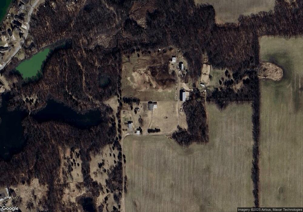
Map
Nearby Homes
- 000 Hewitt Rd
- VL Carlysle Dr
- 116 Paula Dr
- 00 Ambler Dr
- 207 Ambler Dr
- 0 Lot 44 & 45 Wilkshire Dr Unit 25044305
- VL Kirkley Dr
- 99 Nottingham Dr
- 200 Barbara Dr
- 215 Nottingham Dr
- 7943 Cement City Rd
- 186 Bedford Dr
- 227 Riviera Dr
- 328 Ashley Ct Unit 13
- 112 Abbott Ln
- 1268 Maple Ln
- 144 Ashley Ct
- 6416 Kelley Rd
- 9813 Peterson Rd
- 2903 Russell Ct
- 7300 Turk Rd
- 7420 Turk Rd
- 7420 Turk Rd
- 10709 Hewitt Rd
- 10709 Hewitt Rd
- 10709 Hewitt Rd
- 10709 Hewitt Rd
- 10689 Hewitt Rd
- 10693 Hewitt Rd
- 11253 Hewitt Rd
- 0 Hewitt Unit 201703202
- 0 Hewitt Unit 4356791
- 0 Hewitt Unit 20014756
- 0 Hewitt Unit 4444096
- 0 Hewitt Unit 1063616
- 0 Hewitt Unit 201602553
- 0 Hewitt Unit 201603915
- 0 Hewitt Unit 1066168
- 0 Hewitt Unit 201701397
- 0 Hewitt Unit 20001549