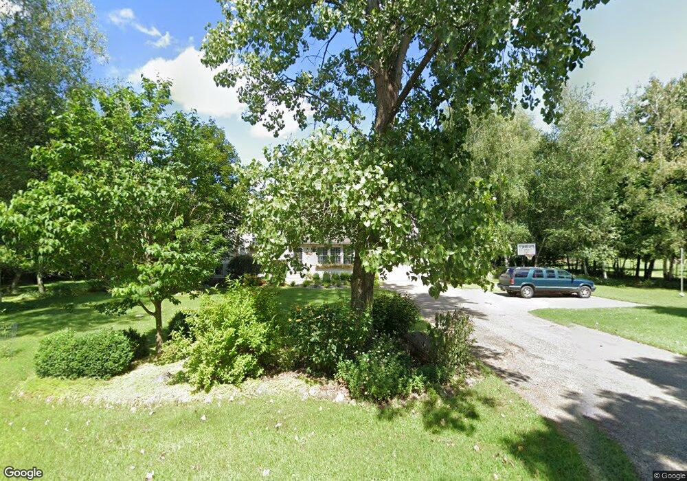
7334 King Rd Spring Arbor, MI 49283
Estimated Value: $265,147 - $331,000
Studio
--
Bath
1,656
Sq Ft
$183/Sq Ft
Est. Value
About This Home
This home is located at 7334 King Rd, Spring Arbor, MI 49283 and is currently estimated at $302,287, approximately $182 per square foot. 7334 King Rd is a home located in Jackson County with nearby schools including Western High School, Trinity Lutheran School, and Lumen Christi Catholic School.
Ownership History
Date
Name
Owned For
Owner Type
Purchase Details
Closed on
Mar 8, 2001
Sold by
Arborwood Construction & Development Llc
Bought by
Ulstad Samuel John and Ulstad Anne Marie
Current Estimated Value
Home Financials for this Owner
Home Financials are based on the most recent Mortgage that was taken out on this home.
Original Mortgage
$120,000
Outstanding Balance
$44,055
Interest Rate
7.13%
Estimated Equity
$258,232
Create a Home Valuation Report for This Property
The Home Valuation Report is an in-depth analysis detailing your home's value as well as a comparison with similar homes in the area
Purchase History
| Date | Buyer | Sale Price | Title Company |
|---|---|---|---|
| Ulstad Samuel John | $13,000 | -- |
Source: Public Records
Mortgage History
| Date | Status | Borrower | Loan Amount |
|---|---|---|---|
| Open | Ulstad Samuel John | $120,000 |
Source: Public Records
Tax History
| Year | Tax Paid | Tax Assessment Tax Assessment Total Assessment is a certain percentage of the fair market value that is determined by local assessors to be the total taxable value of land and additions on the property. | Land | Improvement |
|---|---|---|---|---|
| 2025 | $3,346 | $120,000 | $0 | $0 |
| 2024 | $20 | $115,200 | $0 | $0 |
| 2023 | $1,987 | $108,700 | $0 | $0 |
| 2022 | $3,037 | $106,400 | $0 | $0 |
| 2021 | $2,982 | $103,540 | $0 | $0 |
| 2020 | $2,946 | $108,230 | $0 | $0 |
| 2019 | $2,800 | $98,760 | $0 | $0 |
| 2018 | $2,791 | $95,150 | $7,990 | $87,160 |
| 2017 | $2,643 | $91,130 | $0 | $0 |
| 2016 | $1,687 | $90,450 | $90,450 | $0 |
| 2015 | $69,321 | $81,050 | $81,050 | $0 |
| 2014 | $69,321 | $73,420 | $73,420 | $0 |
| 2013 | -- | $73,420 | $73,420 | $0 |
Source: Public Records
Map
Nearby Homes
- 7315 King Rd
- 7052 Gilroy Ct
- V/L S Dearing Rd Unit 40 Acres Vacant Land
- 2503 Milford Rd
- 2625 S Dearing Rd
- 7969 Brandon Dr
- 8257 Lockerbie Dr
- 6728 King Rd
- 68 Dickens St
- 1400 Chapel Rd
- VL Chapel Rd
- 1400 Chapel Rd Unit B
- 1400 Chapel Rd Unit A
- 1570 Chapel Rd
- 1126 Chapel Rd
- 5513 Sherwood Dr
- 0 S Parma Rd Unit 26002151
- 0 S Parma Rd Unit 26002152
- 5454 Vrooman Rd
- 4849 Indian Creek Dr Unit 6
- 7328 King Rd
- 3114 Concerto Ct
- 7435 King Rd
- 7327 King Rd
- 7327 King Rd Unit 2
- 7316 King Rd
- 7322 King Rd
- 7315 King Rd Unit 3
- 7315 King Rd
- 7445 King Rd
- 2002 Elwood Blvd
- 7313 King Rd Unit 4
- 7313 King Rd
- 7310 King Rd
- 2006 Elwood Blvd Unit 2
- 7248 Sydney Ct
- 2010 Elwood Blvd Unit 3
- 0 Sydney Ct
- 7259 King Rd Unit 5
- 7256 Sydney Ct
Your Personal Tour Guide
Ask me questions while you tour the home.