7335 N 925 E Fremont, IN 46737
Estimated Value: $188,000 - $301,832
4
Beds
2
Baths
1,620
Sq Ft
$156/Sq Ft
Est. Value
About This Home
This home is located at 7335 N 925 E, Fremont, IN 46737 and is currently estimated at $252,611, approximately $155 per square foot. 7335 N 925 E is a home located in Steuben County with nearby schools including Fremont Elementary School, Fremont Middle School, and Fremont High School.
Ownership History
Date
Name
Owned For
Owner Type
Purchase Details
Closed on
Nov 9, 2011
Sold by
Beacon Cu
Bought by
Hutchison Leroy
Current Estimated Value
Home Financials for this Owner
Home Financials are based on the most recent Mortgage that was taken out on this home.
Original Mortgage
$103,300
Outstanding Balance
$70,644
Interest Rate
4.08%
Mortgage Type
VA
Estimated Equity
$181,967
Purchase Details
Closed on
May 26, 2011
Sold by
Gaona Pablo B and Gaona Dionna M
Bought by
Beacon Cu and Dekalb Financial Cu
Purchase Details
Closed on
Oct 12, 2007
Sold by
Lewis Rickey and Rossi Patricia Ann
Bought by
Gaona Pablo B and Gaona Dionna M
Purchase Details
Closed on
Jun 3, 1999
Sold by
Zimmerman Brian R and T/E Leslie
Bought by
Zimmerman Ricky D
Create a Home Valuation Report for This Property
The Home Valuation Report is an in-depth analysis detailing your home's value as well as a comparison with similar homes in the area
Home Values in the Area
Average Home Value in this Area
Purchase History
| Date | Buyer | Sale Price | Title Company |
|---|---|---|---|
| Hutchison Leroy | -- | None Available | |
| Beacon Cu | -- | None Available | |
| Gaona Pablo B | $82,000 | -- | |
| Zimmerman Ricky D | $24,000 | -- |
Source: Public Records
Mortgage History
| Date | Status | Borrower | Loan Amount |
|---|---|---|---|
| Open | Hutchison Leroy | $103,300 |
Source: Public Records
Tax History Compared to Growth
Tax History
| Year | Tax Paid | Tax Assessment Tax Assessment Total Assessment is a certain percentage of the fair market value that is determined by local assessors to be the total taxable value of land and additions on the property. | Land | Improvement |
|---|---|---|---|---|
| 2024 | $641 | $173,900 | $50,200 | $123,700 |
| 2023 | $638 | $168,300 | $45,700 | $122,600 |
| 2022 | $597 | $151,600 | $39,600 | $112,000 |
| 2021 | $514 | $137,000 | $37,100 | $99,900 |
| 2020 | $542 | $136,200 | $29,600 | $106,600 |
| 2019 | $510 | $128,100 | $31,800 | $96,300 |
| 2018 | $459 | $117,600 | $32,000 | $85,600 |
| 2017 | $360 | $100,100 | $33,900 | $66,200 |
| 2016 | $327 | $98,000 | $34,700 | $63,300 |
| 2014 | $211 | $86,400 | $34,400 | $52,000 |
| 2013 | $211 | $86,900 | $33,900 | $53,000 |
Source: Public Records
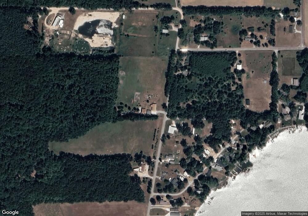
Map
Nearby Homes
- 8860 E 710 N Clear Lake Estates
- 12208 Maple St
- 9911 Lake Dr
- 9677 W Camden Rd
- 115 N Michigan St
- TBD Mead Rd
- 120 Sunset Bay Ct
- 202 W Bell St
- 6430 E 784 N
- 214 Miller St
- V/L Delmar Rd
- 5050 N 725 E
- 107 Mary St
- 6780 E 500 N
- 7950 E 400 N
- 9949 Indian Trail
- 7841 Topinabee Dr
- 2087 County Rd S
- 7731 Topinabee Dr
- 1004 E Copeland Rd
- 7300 N 925 E
- 335 Lane 130 Long Lake
- 360 Lane 130 Long Lake
- 355 Lane 130 Long Lake
- 7430 N 925 E
- 7250 N 925 E
- 295 Lane 130 Long Lake
- 7245 N 925 E
- 7220 N 925 E
- 155 Lane 130 Long Lake
- 215 Lane 130 Long Lake
- 95 Lane 130 Long Lake
- 95 Lane 130 Long Lake Unit A
- 235 Lane 130 Long Lake
- 316 Lane 130 Long Lake
- 75 Lane 130 Long Lake
- 275 Lane 130 Long Lake
- 9360 E 750 N
- 7505 N 925 E
- 35 Lane 130 Long Lake