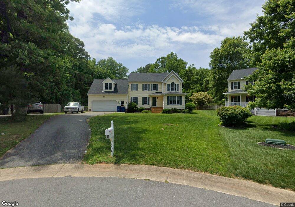
7336 Port Side Dr Midlothian, VA 23112
Estimated Value: $445,685 - $477,000
5
Beds
3
Baths
2,648
Sq Ft
$172/Sq Ft
Est. Value
About This Home
This home is located at 7336 Port Side Dr, Midlothian, VA 23112 and is currently estimated at $454,921, approximately $171 per square foot. 7336 Port Side Dr is a home located in Chesterfield County with nearby schools including Clover Hill Elementary School, Swift Creek Middle, and Clover Hill High.
Ownership History
Date
Name
Owned For
Owner Type
Purchase Details
Closed on
Dec 18, 2003
Sold by
Esmay David
Bought by
Highsmith Keith
Current Estimated Value
Home Financials for this Owner
Home Financials are based on the most recent Mortgage that was taken out on this home.
Original Mortgage
$201,000
Outstanding Balance
$93,660
Interest Rate
5.96%
Mortgage Type
New Conventional
Estimated Equity
$361,261
Create a Home Valuation Report for This Property
The Home Valuation Report is an in-depth analysis detailing your home's value as well as a comparison with similar homes in the area
Home Values in the Area
Average Home Value in this Area
Purchase History
| Date | Buyer | Sale Price | Title Company |
|---|---|---|---|
| Highsmith Keith | $353,225 | -- |
Source: Public Records
Mortgage History
| Date | Status | Borrower | Loan Amount |
|---|---|---|---|
| Open | Highsmith Keith | $201,000 |
Source: Public Records
Tax History Compared to Growth
Tax History
| Year | Tax Paid | Tax Assessment Tax Assessment Total Assessment is a certain percentage of the fair market value that is determined by local assessors to be the total taxable value of land and additions on the property. | Land | Improvement |
|---|---|---|---|---|
| 2025 | $3,792 | $423,300 | $59,000 | $364,300 |
| 2024 | $3,792 | $411,100 | $56,000 | $355,100 |
| 2023 | $3,315 | $364,300 | $54,000 | $310,300 |
| 2022 | $3,195 | $347,300 | $52,000 | $295,300 |
| 2021 | $2,930 | $301,500 | $50,000 | $251,500 |
| 2020 | $2,864 | $301,500 | $50,000 | $251,500 |
| 2019 | $2,718 | $286,100 | $48,000 | $238,100 |
| 2018 | $2,603 | $274,000 | $47,000 | $227,000 |
| 2017 | $2,423 | $252,400 | $44,000 | $208,400 |
| 2016 | $2,281 | $237,600 | $43,000 | $194,600 |
| 2015 | $2,264 | $233,200 | $42,000 | $191,200 |
| 2014 | $2,186 | $225,100 | $41,000 | $184,100 |
Source: Public Records
Map
Nearby Homes
- 13501 Buck Rub Dr
- 13628 Baycraft Terrace
- 7136 Velvet Antler Dr
- 31 Spinnaker Cove Dr
- 13305 Pointer Ridge Terrace
- 6001 Harbourwood Ct
- 7112 Deer Thicket Dr
- 13707 Swale Ln
- 5601 Promontory Pointe Rd
- 13905 N Point Rd
- 7018 Spring Trace Terrace
- 13812 Rockport Landing Rd
- 4902 Court Ridge Terrace
- 13300 Court Ridge Rd
- 4714 Five Springs Ct
- 5806 Bayport Landing Ct
- 7706 Northern Dancer Ct
- 13207 Gate Post Ct
- 4602 Painted Post Ln
- 7806 Belmont Stakes Dr
- 7330 Port Side Dr
- 7331 Port Side Dr
- 7324 Port Side Dr
- 7325 Port Side Dr
- 7318 Port Side Dr
- 6140 Harbourside Centre Loop
- 7319 Port Side Dr
- 7254 Full Rack Dr
- 7248 Full Rack Dr
- 13601 Velvet Antler Place
- 13603 Velvet Antler Place
- 7313 Port Side Dr
- 7242 Full Rack Dr
- 7312 Port Side Dr
- 7260 Full Rack Dr
- 13600 Velvet Antler Place
- 7236 Full Rack Dr
- 7306 Port Side Dr
- 7307 Port Side Dr
- 7300 Full Rack Dr