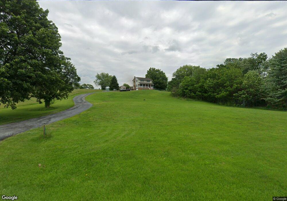
7338 Anthony Hwy Waynesboro, PA 17268
Estimated Value: $337,000 - $381,000
--
Bed
1
Bath
1,904
Sq Ft
$190/Sq Ft
Est. Value
About This Home
This home is located at 7338 Anthony Hwy, Waynesboro, PA 17268 and is currently estimated at $362,456, approximately $190 per square foot. 7338 Anthony Hwy is a home located in Franklin County with nearby schools including Waynesboro Area Senior High School and Providence School - Pigeon Hill Building.
Ownership History
Date
Name
Owned For
Owner Type
Purchase Details
Closed on
Oct 20, 2023
Sold by
Fleagle Thomas E and Fleagle Jody L
Bought by
Salasky-Sirk Robert L and Sirk Rachael A
Current Estimated Value
Home Financials for this Owner
Home Financials are based on the most recent Mortgage that was taken out on this home.
Original Mortgage
$275,000
Outstanding Balance
$268,923
Interest Rate
6.74%
Mortgage Type
New Conventional
Estimated Equity
$93,533
Create a Home Valuation Report for This Property
The Home Valuation Report is an in-depth analysis detailing your home's value as well as a comparison with similar homes in the area
Home Values in the Area
Average Home Value in this Area
Purchase History
| Date | Buyer | Sale Price | Title Company |
|---|---|---|---|
| Salasky-Sirk Robert L | $344,000 | Buchanan Settlement Services | |
| Fleagle Thomas E | -- | Buchanan Settlement Services |
Source: Public Records
Mortgage History
| Date | Status | Borrower | Loan Amount |
|---|---|---|---|
| Open | Salasky-Sirk Robert L | $275,000 |
Source: Public Records
Tax History Compared to Growth
Tax History
| Year | Tax Paid | Tax Assessment Tax Assessment Total Assessment is a certain percentage of the fair market value that is determined by local assessors to be the total taxable value of land and additions on the property. | Land | Improvement |
|---|---|---|---|---|
| 2025 | $3,576 | $24,510 | $1,530 | $22,980 |
| 2024 | $3,466 | $24,510 | $1,530 | $22,980 |
| 2023 | $3,311 | $24,080 | $1,530 | $22,550 |
| 2022 | $3,215 | $24,080 | $1,530 | $22,550 |
| 2021 | $3,119 | $24,080 | $1,530 | $22,550 |
| 2020 | $3,119 | $24,080 | $1,530 | $22,550 |
| 2019 | $3,047 | $24,080 | $1,530 | $22,550 |
| 2018 | $2,944 | $24,080 | $1,530 | $22,550 |
| 2017 | $2,878 | $24,080 | $1,530 | $22,550 |
| 2016 | $690 | $24,080 | $1,530 | $22,550 |
| 2015 | $643 | $24,080 | $1,530 | $22,550 |
| 2014 | $643 | $24,080 | $1,530 | $22,550 |
Source: Public Records
Map
Nearby Homes
- 7468 Anthony Hwy
- 5434 Manheim Rd
- 286 Verdier St
- 207 University Dr
- 8620 Monns Gap Rd
- 111 Poplar St
- 6 S Main St
- 6159 Orphanage Rd
- 8652 Mormon Church Rd
- 6456 Wayne Hwy
- 7205 Fairway Dr S
- 8655 Wayne Hwy
- 6158 Merion Dr
- 7130 St Annes Dr
- 7059 Duck Hook Ln
- 7136 Sandwich Ln
- 7060 Duck Hook Ln
- 6337 Medina Ridge Dr
- 7121 Sandwich Ln
- 6852 Lytham Ln
- 7330 Anthony Hwy
- 7204 Anthony Hwy
- 6501 Slabtown Rd
- 7244 Anthony Hwy
- 7328 Anthony Hwy
- 6539 Slabtown Rd
- 7202 Anthony Hwy
- 7184 Anthony Hwy
- 6551 Slabtown Rd
- 6472 Slabtown Rd
- 7170 Anthony Hwy
- 6440 Slabtown Rd
- 6518 Slabtown Rd
- 6568 Slabtown Rd
- 6536 Slabtown Rd
- 6552 Slabtown Rd
- 7152 Anthony Hwy
- 6569 Slabtown Rd
- 6599 Slabtown Rd
- 6582 Slabtown Rd