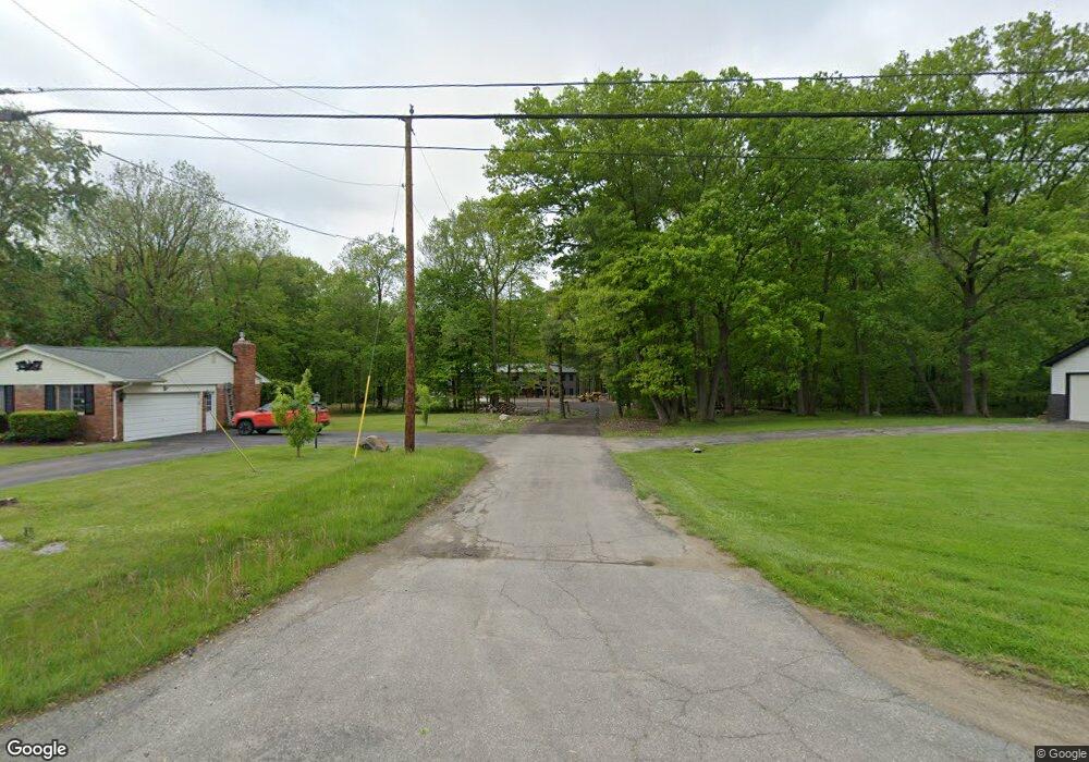
7339 Mustang Dr Clarkston, MI 48346
Estimated Value: $377,000 - $795,000
4
Beds
3
Baths
6,266
Sq Ft
$93/Sq Ft
Est. Value
About This Home
This home is located at 7339 Mustang Dr, Clarkston, MI 48346 and is currently estimated at $580,530, approximately $92 per square foot. 7339 Mustang Dr is a home with nearby schools including Springfield Christian Academy, Our Lady Of The Lakes Catholic School, and Waterford Montessori Academy - Midland.
Ownership History
Date
Name
Owned For
Owner Type
Purchase Details
Closed on
Sep 17, 2021
Sold by
Scheib Terrence B and Scheib Janet D
Bought by
Cavallaro Leisha R and Lafata John M
Current Estimated Value
Home Financials for this Owner
Home Financials are based on the most recent Mortgage that was taken out on this home.
Original Mortgage
$175,000
Outstanding Balance
$159,237
Interest Rate
2.8%
Mortgage Type
New Conventional
Estimated Equity
$421,293
Create a Home Valuation Report for This Property
The Home Valuation Report is an in-depth analysis detailing your home's value as well as a comparison with similar homes in the area
Home Values in the Area
Average Home Value in this Area
Purchase History
| Date | Buyer | Sale Price | Title Company |
|---|---|---|---|
| Cavallaro Leisha R | $195,000 | Liberty Title |
Source: Public Records
Mortgage History
| Date | Status | Borrower | Loan Amount |
|---|---|---|---|
| Open | Cavallaro Leisha R | $175,000 |
Source: Public Records
Tax History Compared to Growth
Tax History
| Year | Tax Paid | Tax Assessment Tax Assessment Total Assessment is a certain percentage of the fair market value that is determined by local assessors to be the total taxable value of land and additions on the property. | Land | Improvement |
|---|---|---|---|---|
| 2024 | $8,510 | $219,000 | $42,500 | $176,500 |
| 2023 | $1,828 | $38,400 | $38,400 | $0 |
| 2022 | $1,828 | $36,500 | $36,500 | $0 |
| 2021 | $930 | $34,400 | $34,400 | $0 |
| 2020 | $713 | $35,200 | $35,200 | $0 |
| 2018 | $885 | $28,600 | $28,600 | $0 |
| 2015 | -- | $28,200 | $0 | $0 |
| 2014 | -- | $26,000 | $0 | $0 |
| 2011 | -- | $52,800 | $0 | $0 |
Source: Public Records
Map
Nearby Homes
- 5021 Paula Ave
- 7314 Village Park Dr Unit 47
- 7490 Andersonville Rd
- 5690 White Lake Rd
- 7509 Maple Ridge Dr
- 7651 Maple Ridge Ct Unit 28
- 7541 Maple Ridge Dr
- 7513 Maple Ridge Dr
- The Franklin II Plan at Park Ridge at Stonewood
- 7950 Clement Rd
- 7118 Oak Ridge Ct
- 6832 Northcrest Way E Unit 31
- 6689 Andersonville Rd
- 4619 Curtis Ln
- 4475 N Meadow Dr
- 6629 Andersonville Rd Unit A8
- 6723 Andersonville Rd Unit E42
- 6788 Balmoral Terrace
- 6947 Stonewood Place Dr
- 4602 Curtis Ln
- 5229 Bronco Dr
- 7309 Mustang Dr
- 7327 Mustang Dr
- 7275 Mustang Dr
- 5219 Bronco Dr
- 5247 Bronco Dr
- 7259 Mustang Dr
- 7355 Mustang Dr
- 5261 Bronco Dr
- 7241 Mustang Dr
- 0 Mustang Dr
- 0000 Mustang Dr
- 5242 White Lake Rd
- 5185 Bronco Dr
- 7219 Mustang Dr
- 5228 Bronco Dr
- 7282 Mustang Dr
- 5230 White Lake Rd
- 7320 Mustang Dr
- 5210 Bronco Dr