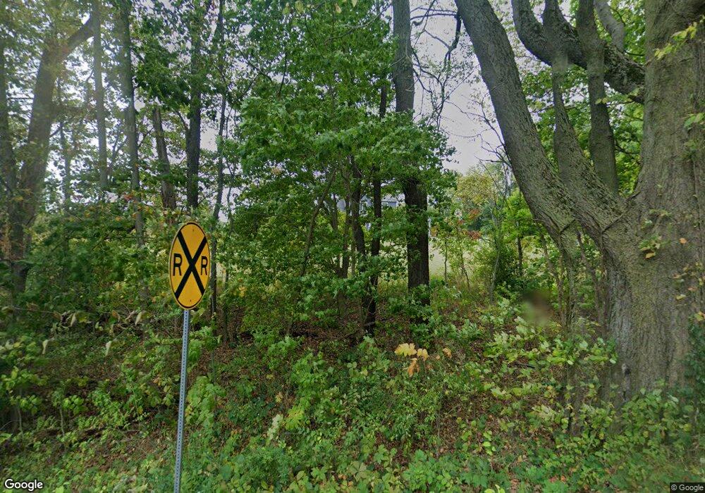
7339 N 600 E Rolling Prairie, IN 46371
Estimated Value: $453,000 - $596,600
3
Beds
2
Baths
2,589
Sq Ft
$208/Sq Ft
Est. Value
About This Home
This home is located at 7339 N 600 E, Rolling Prairie, IN 46371 and is currently estimated at $539,200, approximately $208 per square foot. 7339 N 600 E is a home with nearby schools including New Prairie High School.
Ownership History
Date
Name
Owned For
Owner Type
Purchase Details
Closed on
Jan 28, 2016
Sold by
Schwingendorf James P and Schwingendorf Amanda J
Bought by
Schwingendorf James Paul and Schwingendorf Amanda Jo
Current Estimated Value
Purchase Details
Closed on
Oct 20, 2014
Sold by
Kelley John A
Bought by
Kelley John A
Purchase Details
Closed on
Dec 20, 2012
Sold by
Schwingendorf Lucy Ann and Schwingendorf Paul D
Bought by
Schwingendorf James P and Schwingendorf Amanda J
Create a Home Valuation Report for This Property
The Home Valuation Report is an in-depth analysis detailing your home's value as well as a comparison with similar homes in the area
Purchase History
| Date | Buyer | Sale Price | Title Company |
|---|---|---|---|
| Schwingendorf James Paul | -- | None Available | |
| Kelley John A | -- | None Available | |
| Schwingendorf James P | -- | None Available |
Source: Public Records
Tax History
| Year | Tax Paid | Tax Assessment Tax Assessment Total Assessment is a certain percentage of the fair market value that is determined by local assessors to be the total taxable value of land and additions on the property. | Land | Improvement |
|---|---|---|---|---|
| 2025 | $4,372 | $374,000 | $77,500 | $296,500 |
| 2024 | $3,450 | $348,200 | $77,500 | $270,700 |
| 2023 | $3,440 | $313,800 | $38,400 | $275,400 |
| 2022 | $3,367 | $312,700 | $36,600 | $276,100 |
| 2021 | $3,157 | $295,800 | $35,700 | $260,100 |
| 2020 | $3,207 | $295,800 | $35,700 | $260,100 |
| 2019 | $3,167 | $291,100 | $36,900 | $254,200 |
| 2018 | $3,228 | $289,500 | $34,100 | $255,400 |
| 2017 | $2,976 | $277,900 | $35,200 | $242,700 |
| 2016 | $3,231 | $281,200 | $36,200 | $245,000 |
| 2014 | $184 | $9,200 | $9,200 | $0 |
Source: Public Records
Map
Nearby Homes
- 0 N Bluebird Ln
- 0 N Balsam Ln Unit NRA832052
- 0 Pansy Ln Unit NRA832051
- 0 N Holling Blvd Unit NRA816189
- 0 E Chicago Rd Unit NRA832986
- 8172 E Emery Rd
- 0 E John Emery Rd
- 6798 E 350 N
- 7674 Potato Hole Ct
- 8679 E 850 N
- 6361 E State Road 2
- 55584 County Line Rd
- 55564 County Line Rd
- 55544 County Line Rd
- 55574 County Line Rd
- 55594 County Line Rd
- 5596 N 300 E
- 8196 E Walnut Ridge
- 750 W Michigan St
- 624 W Front St
- 5981 E Tioga Trail
- 5891 E Tioga Trail
- 5954 E Tioga Trail
- 600 North Rd
- 5939 E Tioga Trail
- 5936 E Tioga Trail
- 7616 N 600 E
- 5926 E Tioga Trail
- 7618 N Seneca Trail
- 7373 N Seneca Trail
- 5904 E Tioga Trail
- 5992 E Delaware Trail
- 5911 E Tioga Trail
- 5892 E Tioga Trail
- 7615 N Topenobee Trail
- 5972 E Delaware Trail
- 5989 E Delaware Trail
- 5995 E Delaware Trail
- 5981 E Delaware Trail
- 5868 E Tioga Trail
Your Personal Tour Guide
Ask me questions while you tour the home.
