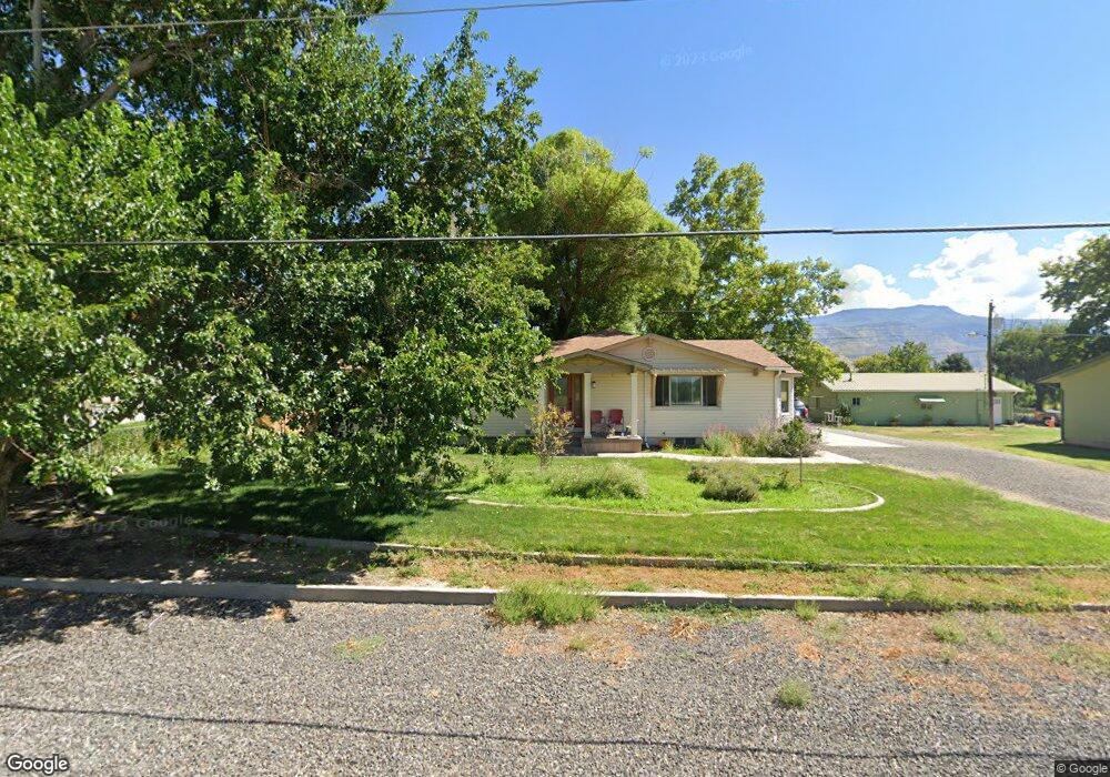
734 36 3/10 Rd Palisade, CO 81526
Palisade Area NeighborhoodEstimated Value: $596,000 - $844,000
3
Beds
3
Baths
1,913
Sq Ft
$360/Sq Ft
Est. Value
About This Home
This home is located at 734 36 3/10 Rd, Palisade, CO 81526 and is currently estimated at $687,888, approximately $359 per square foot. 734 36 3/10 Rd is a home located in Mesa County with nearby schools including Taylor Elementary School, Mount Garfield Middle School, and Palisade High School.
Ownership History
Date
Name
Owned For
Owner Type
Purchase Details
Closed on
Jun 9, 2023
Sold by
Fasken Jill Post
Bought by
Dill Collin Thomas and Dill Marissa Eliese
Current Estimated Value
Home Financials for this Owner
Home Financials are based on the most recent Mortgage that was taken out on this home.
Original Mortgage
$498,150
Outstanding Balance
$484,829
Interest Rate
6.39%
Mortgage Type
New Conventional
Estimated Equity
$203,059
Purchase Details
Closed on
Oct 31, 1996
Sold by
Allanson Al A
Bought by
Fasken Scott David and Fasken Jill Post
Purchase Details
Closed on
Aug 10, 1993
Sold by
Allanson Al A
Bought by
Fasken Scott David
Purchase Details
Closed on
Jul 5, 1990
Sold by
Burdick Lauren R
Bought by
Fasken Scott David
Create a Home Valuation Report for This Property
The Home Valuation Report is an in-depth analysis detailing your home's value as well as a comparison with similar homes in the area
Home Values in the Area
Average Home Value in this Area
Purchase History
| Date | Buyer | Sale Price | Title Company |
|---|---|---|---|
| Dill Collin Thomas | $553,500 | Land Title Guarantee | |
| Fasken Scott David | $154,900 | -- | |
| Fasken Scott David | -- | -- | |
| Fasken Scott David | $90,000 | -- |
Source: Public Records
Mortgage History
| Date | Status | Borrower | Loan Amount |
|---|---|---|---|
| Open | Dill Collin Thomas | $498,150 |
Source: Public Records
Tax History Compared to Growth
Tax History
| Year | Tax Paid | Tax Assessment Tax Assessment Total Assessment is a certain percentage of the fair market value that is determined by local assessors to be the total taxable value of land and additions on the property. | Land | Improvement |
|---|---|---|---|---|
| 2024 | $2,403 | $43,270 | $6,790 | $36,480 |
| 2023 | $2,403 | $40,430 | $6,750 | $33,680 |
| 2022 | $1,329 | $24,760 | $4,870 | $19,890 |
| 2021 | $1,333 | $25,480 | $5,010 | $20,470 |
| 2020 | $1,586 | $22,530 | $5,010 | $17,520 |
| 2019 | $1,501 | $22,530 | $5,010 | $17,520 |
| 2018 | $1,529 | $21,040 | $4,320 | $16,720 |
| 2017 | $1,499 | $21,040 | $4,320 | $16,720 |
| 2016 | $1,221 | $19,170 | $4,380 | $14,790 |
| 2015 | $1,236 | $19,170 | $4,380 | $14,790 |
| 2014 | $1,105 | $17,190 | $4,380 | $12,810 |
Source: Public Records
Map
Nearby Homes
- 759 36 3 10 Rd
- 707 36 3 10 Rd
- 3652 1/2 G 7 10 Rd
- 3669 G Rd
- 822 Cabernet Ct
- 733 35 6 10 Rd
- 3603 Grand Valley Canal Rd
- 745 Fairhaven Rd
- 602 Elberta Ave
- 548 Crawford Ln
- 537 Crawford Ln
- 532 Crawford Ln
- 577 Cicero Dr
- 549 Cicero Dr
- 512 Crawford Ln
- 819 Elberta Ave
- 846 Cabernet Dr
- 828 Logan Ct
- 490 Wine Valley Rd
- 829 Logan St