734 Airport Rd W Cornelia, GA 30531
Estimated Value: $121,000
--
Bed
2
Baths
2,906
Sq Ft
$42/Sq Ft
Est. Value
About This Home
This home is located at 734 Airport Rd W, Cornelia, GA 30531 and is currently priced at $121,000, approximately $41 per square foot. 734 Airport Rd W is a home located in Habersham County with nearby schools including Level Grove Elementary School, South Habersham Middle School, and Habersham Success Academy.
Ownership History
Date
Name
Owned For
Owner Type
Purchase Details
Closed on
Apr 1, 2013
Sold by
Ll Herrin Development Co L
Bought by
Aguilar Hilario S and Aguilar Eloisa E
Current Estimated Value
Purchase Details
Closed on
Jul 29, 2009
Sold by
United Community Bank
Bought by
Ll Herrin Development Co Llc
Purchase Details
Closed on
Jul 6, 2009
Sold by
Habersham County Georgia
Bought by
United Community Bank
Purchase Details
Closed on
Feb 3, 2009
Sold by
Tovar Jose Rosario
Bought by
United Community Bank
Create a Home Valuation Report for This Property
The Home Valuation Report is an in-depth analysis detailing your home's value as well as a comparison with similar homes in the area
Home Values in the Area
Average Home Value in this Area
Purchase History
| Date | Buyer | Sale Price | Title Company |
|---|---|---|---|
| Aguilar Hilario S | $45,000 | -- | |
| Ll Herrin Development Co Llc | $250,000 | -- | |
| United Community Bank | -- | -- | |
| United Community Bank | $550,812 | -- |
Source: Public Records
Tax History Compared to Growth
Tax History
| Year | Tax Paid | Tax Assessment Tax Assessment Total Assessment is a certain percentage of the fair market value that is determined by local assessors to be the total taxable value of land and additions on the property. | Land | Improvement |
|---|---|---|---|---|
| 2025 | $4,030 | $123,488 | $17,400 | $106,088 |
| 2024 | $1,405 | $54,116 | $20,360 | $33,756 |
| 2023 | $1,287 | $51,460 | $15,660 | $35,800 |
| 2022 | $1,279 | $49,052 | $15,660 | $33,392 |
| 2021 | $1,275 | $49,140 | $15,660 | $33,480 |
| 2020 | $1,153 | $42,868 | $15,660 | $27,208 |
| 2019 | $1,154 | $42,868 | $15,660 | $27,208 |
| 2018 | $1,145 | $42,868 | $15,660 | $27,208 |
| 2017 | $0 | $45,840 | $15,660 | $30,180 |
| 2016 | $1,195 | $114,600 | $15,660 | $30,180 |
| 2015 | -- | $114,600 | $15,660 | $30,180 |
| 2014 | $1,366 | $130,110 | $15,660 | $36,384 |
| 2013 | -- | $76,832 | $40,448 | $36,384 |
Source: Public Records
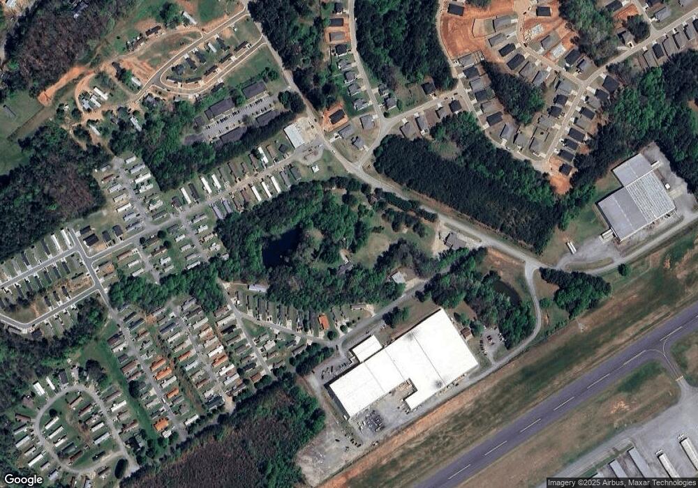
Map
Nearby Homes
- 290 Magnolia Villas Dr
- 150 Magnolia Villas Dr
- Plan 2628 at Magnolia Villas
- Plan 1709 at Magnolia Villas
- Plan 1522 at Magnolia Villas
- Plan 2030 at Magnolia Villas
- Plan 1727 at Magnolia Villas
- Plan 1634 at Magnolia Villas
- Plan 2709 at Magnolia Villas
- Plan 1643 at Magnolia Villas
- Plan 3105 at Magnolia Villas
- Plan 2121 at Magnolia Villas
- Plan 3030 at Magnolia Villas
- Plan 2131 at Magnolia Villas
- Plan 2408 at Magnolia Villas
- Plan 1830 at Magnolia Villas
- Plan 2307 at Magnolia Villas
- 490 Magnolia Grove Place
- 478 Magnolia Grove Place
- 534 Creek Rd
- 734 Airport Rd W
- 115 Stapleton Rd
- 406 Oakland Meadows
- 404 Oakland Meadows
- 410 Oakland Meadows
- 414 Oakland Meadows
- 618 Airport Rd W
- 506 Clay Haven
- 101 Brookcrest Dr
- 103 Brookcrest Dr
- 105 Brookcrest Dr
- 229 Magnolia Villas Dr
- 612 Airport Rd W
- 109 Brookcrest Dr
- 514 Clay Haven
- 111 Brookcrest Dr
- 322 Magnolia Villas Dr
- 326 Magnolia Villas Dr
- 513 Clay Haven
- 113 Brookcrest Dr