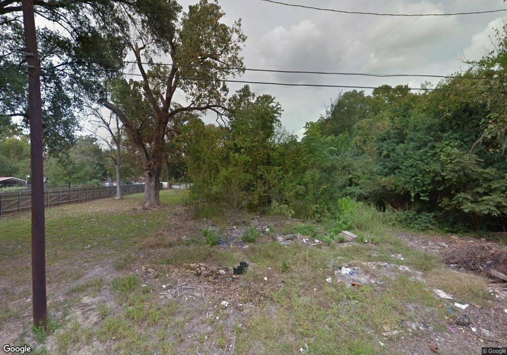
734 Homer St Houston, TX 77091
Acres Homes NeighborhoodEstimated Value: $156,000 - $272,000
2
Beds
1
Bath
732
Sq Ft
$281/Sq Ft
Est. Value
About This Home
This home is located at 734 Homer St, Houston, TX 77091 and is currently estimated at $206,000, approximately $281 per square foot. 734 Homer St is a home located in Harris County with nearby schools including Wesley Elementary School, Williams Middle, and Booker T Washington Sr High.
Ownership History
Date
Name
Owned For
Owner Type
Purchase Details
Closed on
Oct 30, 2018
Sold by
Handal Brian
Bought by
Nikbakht Ali
Current Estimated Value
Purchase Details
Closed on
Mar 19, 2018
Sold by
Harris County
Bought by
Handal Brian
Purchase Details
Closed on
Nov 7, 2017
Sold by
Hall Katherin
Bought by
City Of Houston and Houston Independent School Dist
Purchase Details
Closed on
Aug 23, 2004
Sold by
Hall Virgil
Bought by
Hall Katherine
Purchase Details
Closed on
Jun 28, 2002
Sold by
Hall Ara
Bought by
Hall Katherine
Create a Home Valuation Report for This Property
The Home Valuation Report is an in-depth analysis detailing your home's value as well as a comparison with similar homes in the area
Home Values in the Area
Average Home Value in this Area
Purchase History
| Date | Buyer | Sale Price | Title Company |
|---|---|---|---|
| Nikbakht Ali | -- | Stewart Title Company | |
| Handal Brian | $18,000 | None Available | |
| City Of Houston | -- | None Available | |
| Hall Katherine | -- | -- | |
| Hall Katherine | -- | -- |
Source: Public Records
Tax History Compared to Growth
Tax History
| Year | Tax Paid | Tax Assessment Tax Assessment Total Assessment is a certain percentage of the fair market value that is determined by local assessors to be the total taxable value of land and additions on the property. | Land | Improvement |
|---|---|---|---|---|
| 2025 | $1,771 | $110,509 | $110,509 | -- |
| 2024 | $1,771 | $84,645 | $84,645 | -- |
| 2023 | $1,705 | $84,645 | $84,645 | $0 |
| 2022 | $1,657 | $75,240 | $75,240 | $0 |
| 2021 | $1,151 | $49,376 | $49,376 | $0 |
| 2020 | $911 | $37,620 | $37,620 | $0 |
| 2019 | $666 | $26,334 | $26,334 | $0 |
| 2018 | $496 | $26,334 | $26,334 | $0 |
| 2017 | $476 | $18,810 | $18,810 | $0 |
| 2016 | $476 | $18,810 | $18,810 | $0 |
| 2015 | $609 | $23,676 | $18,810 | $4,866 |
| 2014 | $609 | $23,676 | $18,810 | $4,866 |
Source: Public Records
Map
Nearby Homes
- 6610 Morrow St
- 6105 Morrow St
- 778 Pickering St
- 6032 Beall St
- 0 Brinkman Unit 54849680
- 6341 W Montgomery Rd
- 6343 W Montgomery Rd
- 6204 Maybell St
- 6502 W Montgomery Rd
- 6026 Maybell St
- 5503 Beall St Unit A
- 833 Rosie St
- 853 Rachel St
- 6023 Maybell St
- 6021 Maybell St
- 0 Mansfield St St Unit 43691321
- 810 Elkhart St Unit B
- 810 Elkhart St Unit A
- 1642 Plan A at Rachel Manor
- 1641 Plan B at Rachel Manor
- 736 Homer St
- 744 Homer St
- 748 Homer St
- 735 Pickering St
- 743 Pickering St
- 745 Homer St
- 754 Homer St
- 735 Homer St
- 745 Pickering St
- 743 Homer St
- 0 Homer St Unit 26626744
- 737 Pickering St
- 749 Pickering St
- 760 Homer St
- 757 Pickering St
- 764 Homer St
- 769 Pickering St
- 736 Pickering St
- 740 Rachel St
- 730 Rachel St
