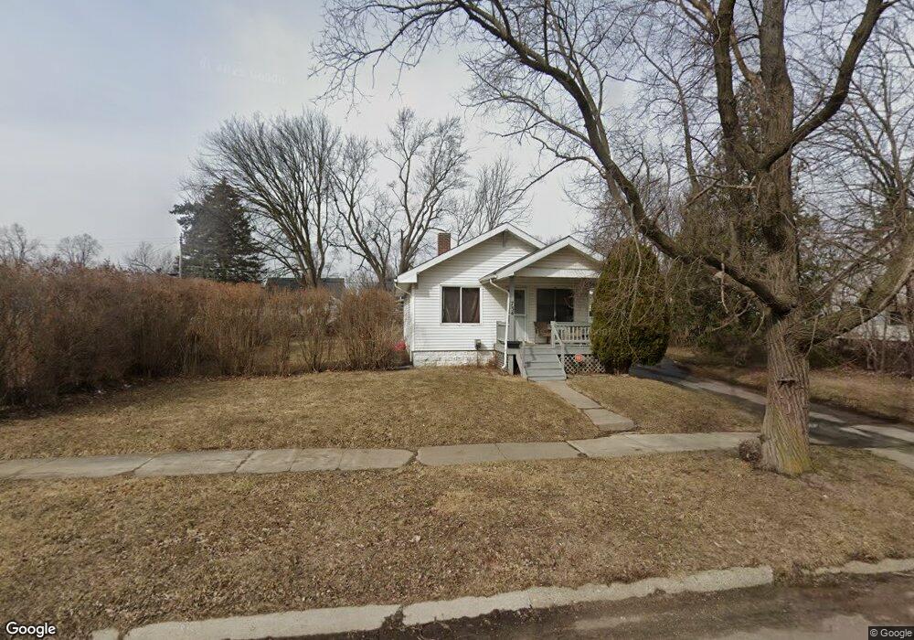
734 Leland St Flint, MI 48507
South Side NeighborhoodEstimated Value: $50,000 - $77,000
2
Beds
2
Baths
704
Sq Ft
$87/Sq Ft
Est. Value
About This Home
This home is located at 734 Leland St, Flint, MI 48507 and is currently estimated at $61,495, approximately $87 per square foot. 734 Leland St is a home located in Genesee County with nearby schools including Neithercut Elementary School, Flint Southwestern Classical Academy, and International Academy of Flint (K-12).
Ownership History
Date
Name
Owned For
Owner Type
Purchase Details
Closed on
Oct 22, 2024
Sold by
James D Thorne Trust and Thorne Jim
Bought by
Lundberg Daniel M and Lundberg Kaprice M
Current Estimated Value
Purchase Details
Closed on
May 1, 2019
Sold by
Thorne James D and Thorne Family Revocable Trust
Bought by
Thorne James D and James D Thorne Trust
Purchase Details
Closed on
Dec 17, 2013
Sold by
Thorne Veronica Kay and Veronica Kay Thorne Living Tru
Bought by
Thorne Family Revocable Trust
Create a Home Valuation Report for This Property
The Home Valuation Report is an in-depth analysis detailing your home's value as well as a comparison with similar homes in the area
Home Values in the Area
Average Home Value in this Area
Purchase History
| Date | Buyer | Sale Price | Title Company |
|---|---|---|---|
| Lundberg Daniel M | $40,000 | None Listed On Document | |
| Thorne James D | -- | None Available | |
| Thorne Family Revocable Trust | -- | None Available |
Source: Public Records
Tax History
| Year | Tax Paid | Tax Assessment Tax Assessment Total Assessment is a certain percentage of the fair market value that is determined by local assessors to be the total taxable value of land and additions on the property. | Land | Improvement |
|---|---|---|---|---|
| 2025 | $1,051 | $28,100 | $0 | $0 |
| 2024 | $975 | $26,400 | $0 | $0 |
| 2023 | $955 | $20,400 | $0 | $0 |
| 2022 | $0 | $18,700 | $0 | $0 |
| 2021 | $967 | $16,100 | $0 | $0 |
| 2020 | $892 | $13,400 | $0 | $0 |
| 2019 | $874 | $12,200 | $0 | $0 |
| 2018 | $859 | $10,800 | $0 | $0 |
| 2017 | $837 | $0 | $0 | $0 |
| 2016 | $832 | $0 | $0 | $0 |
| 2015 | -- | $0 | $0 | $0 |
| 2014 | -- | $0 | $0 | $0 |
| 2012 | -- | $12,000 | $0 | $0 |
Source: Public Records
Map
Nearby Homes
- 738 W Atherton Rd
- 822 Campbell St
- 652 Crawford St
- 806 Alvord Ave
- 3902 Brunswick Ave
- 805 Alvord Ave
- 845 Alvord Ave
- 805 Vermilya Ave
- 825 Vermilya Ave
- 829 Clinton St
- 612 Clinton St
- 912 Huron St
- 3902 Cuthbertson St
- 1028 Campbell St
- 3214 S Grand Traverse St
- 855 Victoria Ave
- 1015 Alvord Ave
- 839 SiMcOe Ave
- 1130 W Atherton Rd
- 741 Barrie Ave
Your Personal Tour Guide
Ask me questions while you tour the home.