734 Navesink River Rd Red Bank, NJ 07701
New Monmouth NeighborhoodEstimated Value: $3,593,000 - $6,848,861
4
Beds
4
Baths
6,629
Sq Ft
$750/Sq Ft
Est. Value
About This Home
This home is located at 734 Navesink River Rd, Red Bank, NJ 07701 and is currently estimated at $4,969,465, approximately $749 per square foot. 734 Navesink River Rd is a home located in Monmouth County with nearby schools including Navesink Elementary School, Bayshore Middle School, and Middletown - South High School.
Ownership History
Date
Name
Owned For
Owner Type
Purchase Details
Closed on
May 1, 2015
Sold by
Becker Robert M and Becker Katherine T
Bought by
Beceker R4obert M and Beceker Catherine T
Current Estimated Value
Purchase Details
Closed on
Mar 29, 2000
Sold by
Hertz Isabel
Bought by
Scholtz William and Unangst Diane
Home Financials for this Owner
Home Financials are based on the most recent Mortgage that was taken out on this home.
Original Mortgage
$750,000
Interest Rate
8.4%
Create a Home Valuation Report for This Property
The Home Valuation Report is an in-depth analysis detailing your home's value as well as a comparison with similar homes in the area
Home Values in the Area
Average Home Value in this Area
Purchase History
| Date | Buyer | Sale Price | Title Company |
|---|---|---|---|
| Beceker R4obert M | $500,000 | None Available | |
| Scholtz William | $1,750,000 | -- |
Source: Public Records
Mortgage History
| Date | Status | Borrower | Loan Amount |
|---|---|---|---|
| Previous Owner | Scholtz William | $750,000 |
Source: Public Records
Tax History Compared to Growth
Tax History
| Year | Tax Paid | Tax Assessment Tax Assessment Total Assessment is a certain percentage of the fair market value that is determined by local assessors to be the total taxable value of land and additions on the property. | Land | Improvement |
|---|---|---|---|---|
| 2025 | $51,372 | $3,482,700 | $1,680,500 | $1,802,200 |
| 2024 | $55,159 | $3,122,900 | $1,352,000 | $1,770,900 |
| 2023 | $55,159 | $3,173,700 | $1,289,800 | $1,883,900 |
| 2022 | $58,612 | $3,085,100 | $1,280,000 | $1,805,100 |
| 2021 | $58,612 | $2,825,000 | $1,180,000 | $1,645,000 |
| 2020 | $60,399 | $2,825,000 | $1,272,000 | $1,553,000 |
| 2019 | $58,150 | $2,753,300 | $1,272,000 | $1,481,300 |
| 2018 | $58,708 | $2,709,200 | $1,280,000 | $1,429,200 |
| 2017 | $63,134 | $2,972,400 | $1,600,000 | $1,372,400 |
| 2016 | $63,291 | $2,970,000 | $1,600,000 | $1,370,000 |
| 2015 | $62,854 | $2,942,600 | $1,600,000 | $1,342,600 |
| 2014 | $62,073 | $1,779,700 | $1,600,000 | $179,700 |
Source: Public Records
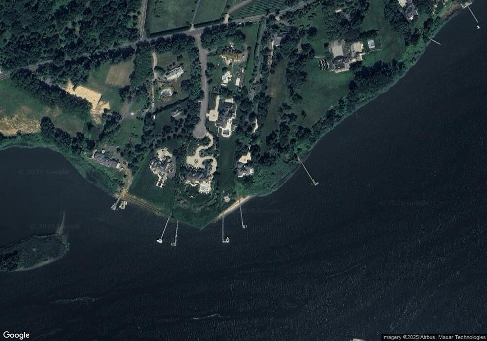
Map
Nearby Homes
- 713 Navesink River Rd
- 70 De Normandie Ave
- 583 Navesink River Rd
- 809 Navesink River Rd
- 1 Hance Rd
- 120 Bowne Rd
- 2 Crozier Ct
- 40 Cedar Ave
- 4 Circle Dr
- 89 Grange Ave
- 7 Buttonwood Dr
- 14 Spruce Dr
- 23 Jackson St
- 137 Lexington Ave
- 1 Clifford Graves Ct
- 9 Dogwood Ln
- 10 Gentry Dr
- 30 Rustic Terrace
- 20 Rustic Terrace
- 24 Chestnut St
- 15 Sailors Way
- 17 Sailors Way
- 8 Sailors Way
- 21 Sailors Way
- 710 Navesink River Rd
- 740 Navesink River Rd
- 756 Navesink River Rd
- 700 Navesink River Rd
- 719 Navesink River Rd
- 758 Navesink River Rd
- 762 Navesink River Rd
- 776 Navesink River Rd
- 171 McClees Rd
- 165 McClees Rd
- 170 McClees Rd
- 181 McClees Rd
- 786 Navesink River Rd
- 589 Navesink River Rd
- 20 Fairwaters Ln
- 81 Riverlawn Dr