734 Ravencrest Ln Unit 10 Westland, MI 48185
Estimated Value: $260,653 - $320,000
2
Beds
4
Baths
1,340
Sq Ft
$211/Sq Ft
Est. Value
About This Home
This home is located at 734 Ravencrest Ln Unit 10, Westland, MI 48185 and is currently estimated at $282,413, approximately $210 per square foot. 734 Ravencrest Ln Unit 10 is a home located in Wayne County with nearby schools including Wildwood Elementary School, Marshall Upper Elementary School, and Adlai Stevenson Middle School.
Ownership History
Date
Name
Owned For
Owner Type
Purchase Details
Closed on
Nov 4, 2011
Sold by
Wojtowicz Raymond J
Bought by
R N J Management Llc
Current Estimated Value
Purchase Details
Closed on
Aug 31, 2010
Sold by
Horning Scott
Bought by
Ravencrest Condominium Association
Purchase Details
Closed on
Dec 9, 2002
Sold by
Farnstrom Donald I and Farnstrom Judith A
Bought by
Horning Scott J
Create a Home Valuation Report for This Property
The Home Valuation Report is an in-depth analysis detailing your home's value as well as a comparison with similar homes in the area
Home Values in the Area
Average Home Value in this Area
Purchase History
| Date | Buyer | Sale Price | Title Company |
|---|---|---|---|
| R N J Management Llc | $65,000 | None Available | |
| Ravencrest Condominium Association | $13,246 | None Available | |
| Horning Scott J | $183,000 | Multiple |
Source: Public Records
Tax History Compared to Growth
Tax History
| Year | Tax Paid | Tax Assessment Tax Assessment Total Assessment is a certain percentage of the fair market value that is determined by local assessors to be the total taxable value of land and additions on the property. | Land | Improvement |
|---|---|---|---|---|
| 2025 | $3,268 | $122,100 | $0 | $0 |
| 2024 | $3,268 | $108,900 | $0 | $0 |
| 2023 | $3,118 | $96,500 | $0 | $0 |
| 2022 | $3,362 | $89,500 | $0 | $0 |
| 2021 | $3,290 | $86,000 | $0 | $0 |
| 2020 | $3,256 | $81,500 | $0 | $0 |
| 2019 | $3,157 | $74,900 | $0 | $0 |
| 2018 | $1,799 | $64,400 | $0 | $0 |
| 2017 | $725 | $62,900 | $0 | $0 |
| 2016 | $2,233 | $60,400 | $0 | $0 |
| 2015 | $4,452 | $54,520 | $0 | $0 |
| 2013 | $4,313 | $45,260 | $0 | $0 |
| 2012 | $2,033 | $44,300 | $0 | $0 |
Source: Public Records
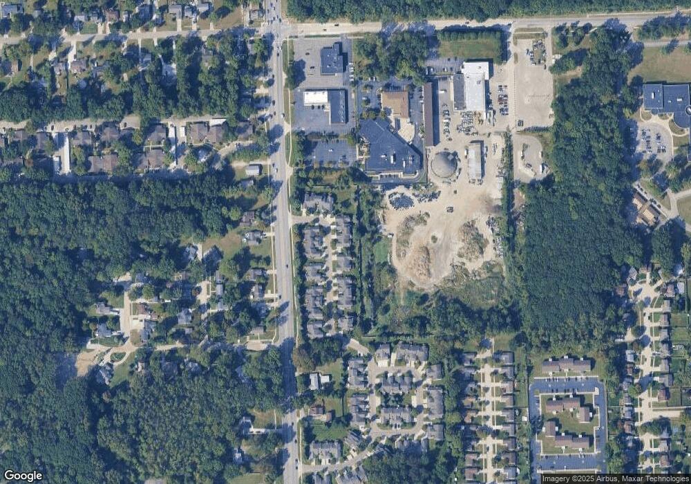
Map
Nearby Homes
- 977 N Newburgh Rd
- 37575 Barkridge Cir Unit 54
- 540 Dartmouth Crescent Ct
- 404 N Sybald St
- 38074 Hixford Place
- 38122 Hixford Place
- 38030 Greenwood St
- 38066 Sherwood St
- 1750 N Hix Rd
- 336 Marigold Cir Unit 45
- 284 Marigold Cir Unit 17
- 38201 Carolon Blvd Unit 17B
- 788 N Linville St
- 5692 N Globe St
- 38343 Carolon Blvd
- 38302 Warner Farms Dr Unit 24
- 624 N Parent St
- 2260 N Hix Rd Unit 1C
- 5834 Morley St
- 127 S John Hix St
- 710 Ravencrest Ln
- 722 Ravencrest Ln Unit 11
- 733 Ravencrest Ln
- 721 Ravencrest Ln Unit 7
- 746 Ravencrest Ln Unit 9
- 698 Ravencrest Ln Unit 15
- 758 Ravencrest Ln Unit 4
- 709 Ravencrest Ln
- 697 Ravencrest Ln
- 686 Ravencrest Ln Unit 16
- 662 Ravencrest Ln
- 662 Ravencrest Ln Unit 22
- 685 Ravencrest Ln
- 674 Ravencrest Ln
- 782 Ravencrest Ln
- 673 Ravencrest Ln Unit 13
- 770 Ravencrest Ln
- 794 Ravencrest Ln
- 661 Ravencrest Ln Unit 6 20
- 661 Ravencrest Ln Unit 20