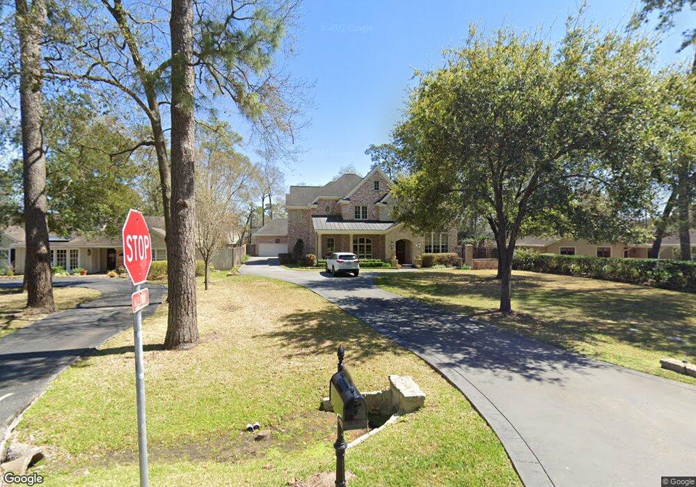
734 Riedel Dr Houston, TX 77024
Memorial NeighborhoodEstimated Value: $2,279,000 - $2,783,002
5
Beds
7
Baths
6,248
Sq Ft
$395/Sq Ft
Est. Value
About This Home
This home is located at 734 Riedel Dr, Houston, TX 77024 and is currently estimated at $2,465,001, approximately $394 per square foot. 734 Riedel Dr is a home located in Harris County with nearby schools including Bunker Hill Elementary School, Memorial Middle, and Memorial High School.
Ownership History
Date
Name
Owned For
Owner Type
Purchase Details
Closed on
Dec 20, 2005
Sold by
Universal Supply & Equipment Inc
Bought by
Walker Patrick A and Walker Sandra B
Current Estimated Value
Purchase Details
Closed on
Dec 1, 2004
Sold by
Walker Patrick A and Walker Sandra B
Bought by
Universal Supply & Equipment Inc
Purchase Details
Closed on
Jul 15, 2003
Sold by
Reynolds Ernest B and Reynolds Elizabeth M
Bought by
Walker Patrick A and Walker Sandra B
Create a Home Valuation Report for This Property
The Home Valuation Report is an in-depth analysis detailing your home's value as well as a comparison with similar homes in the area
Home Values in the Area
Average Home Value in this Area
Purchase History
| Date | Buyer | Sale Price | Title Company |
|---|---|---|---|
| Walker Patrick A | -- | Ameripoint Title | |
| Universal Supply & Equipment Inc | -- | -- | |
| Walker Patrick A | -- | Texas American Title Company |
Source: Public Records
Tax History Compared to Growth
Tax History
| Year | Tax Paid | Tax Assessment Tax Assessment Total Assessment is a certain percentage of the fair market value that is determined by local assessors to be the total taxable value of land and additions on the property. | Land | Improvement |
|---|---|---|---|---|
| 2025 | $34,192 | $2,505,627 | $1,332,988 | $1,172,639 |
| 2024 | $34,192 | $2,000,000 | $1,086,898 | $913,102 |
| 2023 | $33,579 | $2,135,169 | $1,086,898 | $1,048,271 |
| 2022 | $46,034 | $1,875,000 | $1,086,898 | $788,102 |
| 2021 | $47,423 | $1,942,400 | $1,086,898 | $855,502 |
| 2020 | $48,379 | $1,930,818 | $1,086,898 | $843,920 |
| 2019 | $47,593 | $1,817,930 | $1,086,898 | $731,032 |
| 2018 | $18,254 | $1,865,000 | $1,086,898 | $778,102 |
| 2017 | $48,790 | $1,865,000 | $1,086,898 | $778,102 |
| 2016 | $48,790 | $2,063,885 | $1,086,898 | $976,987 |
| 2015 | $35,988 | $2,063,885 | $1,086,898 | $976,987 |
| 2014 | $35,988 | $1,700,000 | $820,300 | $879,700 |
Source: Public Records
Map
Nearby Homes
- 12 Gage Ct
- 827 Bunker Hill Rd
- 11905 Barryknoll Ln
- 826 Bunker Hill Rd
- 11801 Barryknoll Ln
- 902 Memorial Village Dr Unit 66
- 939 Memorial Village Dr Unit 38
- 11729 Joan of Arc Dr
- 11933 Barryknoll Ln
- 711 Timber Hill Dr
- 979 Memorial Village Dr Unit 48
- 11718 Broken Bough Cir
- 11910 Heritage Ln
- 835 Merridel Rd
- 601 Strey Ln
- 9 Leisure Ln
- 12231 Kimberley Ln
- 12222 Broken Bough Dr
- 11706 Flintwood Dr
- 12315 Barryknoll Ln