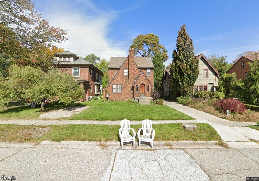
734 Sparrow Ave Lansing, MI 48910
Moores Park NeighborhoodEstimated Value: $180,000 - $186,000
3
Beds
2
Baths
1,463
Sq Ft
$125/Sq Ft
Est. Value
About This Home
This home is located at 734 Sparrow Ave, Lansing, MI 48910 and is currently estimated at $182,746, approximately $124 per square foot. 734 Sparrow Ave is a home located in Ingham County with nearby schools including Averill Elementary School, Pattengill Academy, and J.W. Sexton High School.
Ownership History
Date
Name
Owned For
Owner Type
Purchase Details
Closed on
Mar 3, 2000
Sold by
Griffin Bryan L and Griffin Penny P
Bought by
Luter Todd A and Luter Susan E
Current Estimated Value
Home Financials for this Owner
Home Financials are based on the most recent Mortgage that was taken out on this home.
Original Mortgage
$121,400
Outstanding Balance
$43,596
Interest Rate
9.12%
Mortgage Type
Purchase Money Mortgage
Estimated Equity
$139,150
Purchase Details
Closed on
Nov 18, 1996
Sold by
Storaci Richard R
Bought by
Griffin Brian L and Griffin Penny P
Purchase Details
Closed on
Jun 1, 1994
Create a Home Valuation Report for This Property
The Home Valuation Report is an in-depth analysis detailing your home's value as well as a comparison with similar homes in the area
Home Values in the Area
Average Home Value in this Area
Purchase History
| Date | Buyer | Sale Price | Title Company |
|---|---|---|---|
| Luter Todd A | $121,400 | Midstate Title Company | |
| Griffin Brian L | $96,000 | -- | |
| -- | $84,000 | -- |
Source: Public Records
Mortgage History
| Date | Status | Borrower | Loan Amount |
|---|---|---|---|
| Open | Luter Todd A | $121,400 |
Source: Public Records
Tax History
| Year | Tax Paid | Tax Assessment Tax Assessment Total Assessment is a certain percentage of the fair market value that is determined by local assessors to be the total taxable value of land and additions on the property. | Land | Improvement |
|---|---|---|---|---|
| 2025 | $3,724 | $87,200 | $8,200 | $79,000 |
| 2024 | $30 | $79,700 | $8,200 | $71,500 |
| 2023 | $3,491 | $71,700 | $8,200 | $63,500 |
| 2022 | $3,145 | $67,300 | $8,400 | $58,900 |
| 2021 | $3,079 | $62,600 | $7,300 | $55,300 |
| 2020 | $3,061 | $58,900 | $7,300 | $51,600 |
| 2019 | $2,935 | $55,500 | $7,300 | $48,200 |
| 2018 | $2,749 | $54,700 | $7,300 | $47,400 |
| 2017 | $2,632 | $54,700 | $7,300 | $47,400 |
| 2016 | $2,517 | $49,200 | $7,300 | $41,900 |
| 2015 | $2,517 | $47,200 | $14,620 | $32,580 |
| 2014 | $2,517 | $45,000 | $17,630 | $27,370 |
Source: Public Records
Map
Nearby Homes
- 1319 Pico Ave
- 1400 Pico Ave
- 1017 W Barnes Ave
- 815 Smith Ave
- 717 Smith Ave
- 1723 Osband Ave
- 1120 Alsdorf St
- 900 W Mount Hope Ave
- 612 W Mount Hope Ave
- 1116 George St
- 1114 Goodrich St
- 712 Lenore Ave
- 1309 Hammond St
- 1221 Moores River Dr
- 1824 Davis Ave
- 310 W Barnes Ave
- 1917 Osband Ave
- 227 Woodlawn Ave
- 2001 S Martin Luther King Junior Blvd
- 205 Moores River Dr
- 730 Sparrow Ave
- 738 Sparrow Ave
- 815 Sparrow Ave
- 726 Sparrow Ave
- 800 Sparrow Ave
- 717 Britten Ave
- 723 Britten Ave
- 711 Britten Ave
- 804 Sparrow Ave
- 716 Sparrow Ave
- 801 Britten Ave
- 808 Sparrow Ave
- 805 Britten Ave
- 819 Sparrow Ave
- 811 Britten Ave
- 812 Sparrow Ave
- 711 Sparrow Ave
- 815 Britten Ave
- 718 Britten Ave
Your Personal Tour Guide
Ask me questions while you tour the home.