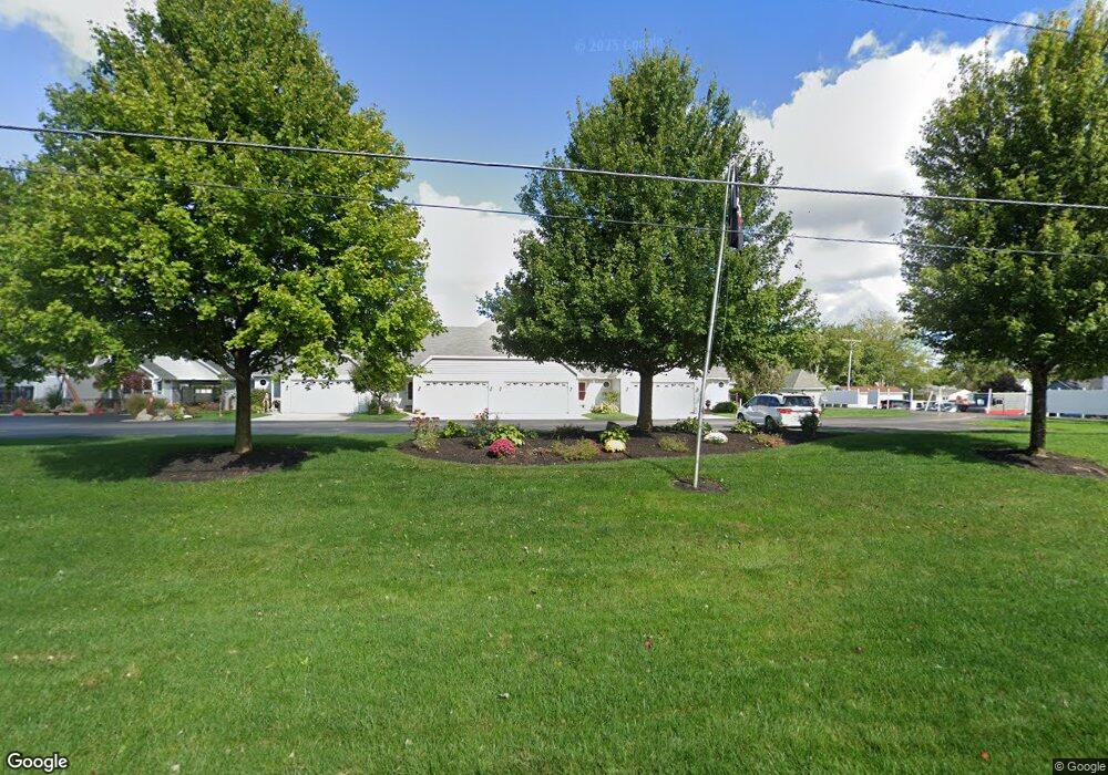
7341 Port Royale Ave Russells Point, OH 43348
Estimated Value: $480,503 - $547,000
3
Beds
3
Baths
2,024
Sq Ft
$253/Sq Ft
Est. Value
About This Home
This home is located at 7341 Port Royale Ave, Russells Point, OH 43348 and is currently estimated at $512,126, approximately $253 per square foot. 7341 Port Royale Ave is a home located in Logan County with nearby schools including Indian Lake Elementary School, Indian Lake Middle School, and Indian Lake High School.
Ownership History
Date
Name
Owned For
Owner Type
Purchase Details
Closed on
Dec 23, 2021
Sold by
Dedenise Keller
Bought by
Rhodes Kellie
Current Estimated Value
Purchase Details
Closed on
Nov 30, 2020
Sold by
Estate Of Carole A Disher
Bought by
Disher Ryan M and Rhodes Kellie
Create a Home Valuation Report for This Property
The Home Valuation Report is an in-depth analysis detailing your home's value as well as a comparison with similar homes in the area
Home Values in the Area
Average Home Value in this Area
Purchase History
| Date | Buyer | Sale Price | Title Company |
|---|---|---|---|
| Rhodes Kellie | -- | None Listed On Document | |
| Disher Ryan M | -- | None Available |
Source: Public Records
Tax History Compared to Growth
Tax History
| Year | Tax Paid | Tax Assessment Tax Assessment Total Assessment is a certain percentage of the fair market value that is determined by local assessors to be the total taxable value of land and additions on the property. | Land | Improvement |
|---|---|---|---|---|
| 2024 | $6,443 | $147,580 | $50,750 | $96,830 |
| 2023 | $6,443 | $147,580 | $50,750 | $96,830 |
| 2022 | $6,790 | $101,780 | $35,000 | $66,780 |
| 2021 | $5,015 | $101,780 | $35,000 | $66,780 |
| 2020 | $4,488 | $85,460 | $35,000 | $50,460 |
| 2019 | $4,525 | $85,460 | $35,000 | $50,460 |
| 2018 | $3,588 | $85,460 | $35,000 | $50,460 |
| 2016 | $3,303 | $83,060 | $35,000 | $48,060 |
| 2014 | $3,307 | $83,060 | $35,000 | $48,060 |
| 2013 | $3,131 | $83,060 | $35,000 | $48,060 |
| 2012 | $3,259 | $73,360 | $22,750 | $50,610 |
Source: Public Records
Map
Nearby Homes
- 7932 Anne Bonny Ct Unit 13C
- 7490 Sir Francis Drake Ave
- 7535 Township Road 269
- 8312 Ohio 366 Unit 25
- 8312 Ohio 366 Unit 26
- 8128 Midway Dr
- 7062 Clark Dr
- 7063 Clark Dr
- 7109 Hancock Dr
- 7889 Park Dr
- 7917 Hickory Ave
- 7925 Hickory Ave
- 7933 Hickory Ave
- 7842 Hickory Ave
- 7225 Ohio 368
- 7655 Kooteney St
- 0 Edgewater Ave
- 0 Maple Unit 1040900
- 0 Crystal Beach Island Unit 225020350
- 0 Towpath Unit 1039398
- 7347 Port Royale Ave
- 7335 Port Royale Ave
- 7329 Port Royale Ave
- 7335 Port Royale Ave Unit 1B
- 7329 Port Royale Ave Unit 7329
- 7347 Port Royale Ave Unit 7347
- 7347 Port Royale Ave Unit 1D
- 7329 Port Royale Ave Unit 1a
- 7409 Port Royale Ave
- 7401 Port Royale Ave
- 7395 Port Royale Ave
- 7383 Port Royale Ave
- 7383 Port Royale Ave Unit 2-A
- 7389 Port Royale Ave
- 7409 Port Royale Ave Unit 3-A
- 7389 Port Royale Ave Unit 2B
- 0 Port Royale Ave Unit 4934 319405
- 0 Port Royale Ave
- 7403 Black Beard Ct