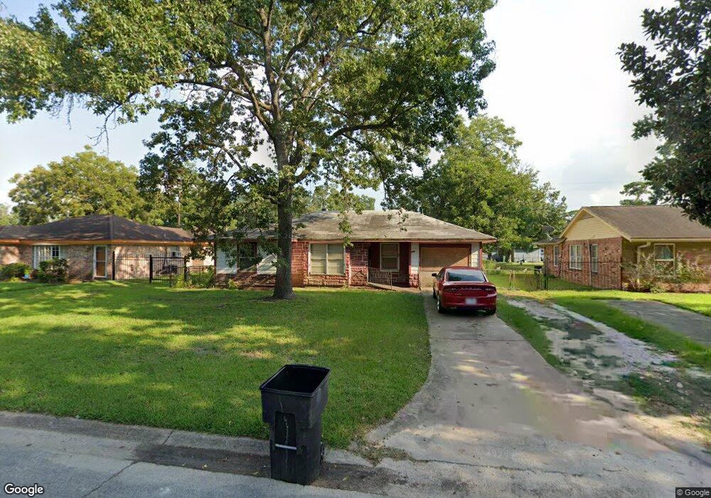
7342 Caddo Rd Houston, TX 77016
East Little York NeighborhoodEstimated Value: $150,000 - $176,000
3
Beds
1
Bath
1,148
Sq Ft
$141/Sq Ft
Est. Value
About This Home
This home is located at 7342 Caddo Rd, Houston, TX 77016 and is currently estimated at $161,669, approximately $140 per square foot. 7342 Caddo Rd is a home located in Harris County with nearby schools including Shadydale Elementary School, Forest Brook Middle, and North Forest High School.
Ownership History
Date
Name
Owned For
Owner Type
Purchase Details
Closed on
Mar 15, 2017
Sold by
Landzone Inc
Bought by
Guidry William
Current Estimated Value
Purchase Details
Closed on
Dec 5, 2014
Sold by
Guidry Willam
Bought by
Krystal One Acquisitions Llc
Create a Home Valuation Report for This Property
The Home Valuation Report is an in-depth analysis detailing your home's value as well as a comparison with similar homes in the area
Home Values in the Area
Average Home Value in this Area
Purchase History
| Date | Buyer | Sale Price | Title Company |
|---|---|---|---|
| Guidry William | -- | None Available | |
| Landzone Inc | -- | None Available | |
| Krystal One Acquisitions Llc | $15,643 | None Available |
Source: Public Records
Mortgage History
| Date | Status | Borrower | Loan Amount |
|---|---|---|---|
| Closed | Guidry William | $0 |
Source: Public Records
Tax History Compared to Growth
Tax History
| Year | Tax Paid | Tax Assessment Tax Assessment Total Assessment is a certain percentage of the fair market value that is determined by local assessors to be the total taxable value of land and additions on the property. | Land | Improvement |
|---|---|---|---|---|
| 2025 | $2,388 | $116,993 | $52,548 | $64,445 |
| 2024 | $2,388 | $114,125 | $52,548 | $61,577 |
| 2023 | $2,388 | $118,699 | $43,488 | $75,211 |
| 2022 | $2,148 | $97,573 | $36,240 | $61,333 |
| 2021 | $1,933 | $82,946 | $27,180 | $55,766 |
| 2020 | $1,765 | $72,897 | $18,845 | $54,052 |
| 2019 | $1,677 | $66,289 | $12,394 | $53,895 |
| 2018 | $1,343 | $53,084 | $12,394 | $40,690 |
| 2017 | $1,342 | $53,084 | $12,394 | $40,690 |
| 2016 | $1,342 | $53,084 | $12,394 | $40,690 |
| 2015 | $920 | $40,861 | $12,394 | $28,467 |
| 2014 | $920 | $35,794 | $12,394 | $23,400 |
Source: Public Records
Map
Nearby Homes
- 0 Bretshire Dr Unit 83088734
- 0 Bretshire Dr Unit 61965426
- 7338 Bigwood St
- 7314 Sterlingshire St
- 0 Wileyvale Rd Unit 37533417
- 0 Laura Koppe Rd Unit 64066450
- 0 Lockwood Unit 97801497
- 0 Wileyvale Rd Unit 98938709
- 7242 Bretshire Dr
- 7218 Bretshire Dr
- 7305 Yoe St
- 7252 Parker Rd
- 7402 Yoe St
- 7306 Parker Rd
- 7220 Parker Rd
- 10106 Cheeves Dr
- 7611 Cabot St
- 7603 Caddo Rd
- 10101 Rebel Rd
- 7234 Boggess Rd
- 7338 Caddo Rd
- 7346 Caddo Rd
- 7333 Bigwood St
- 7334 Caddo Rd
- 7329 Bigwood St
- 7337 Bigwood St
- 7325 Bigwood St
- 7345 Caddo Rd
- 7341 Caddo Rd
- 7349 Caddo Rd
- 7330 Caddo Rd
- 7402 Caddo Rd
- 7337 Caddo Rd
- 7321 Bigwood St
- 0 Bretshire Dr Unit 10375406
- 0 Plaag St Unit 20714754
- 0 Lynnfield Ave Unit 63515809
- 0 Bretshire Dr Unit 58874974
- 0 Plaag St Unit 2170054
- 0 Bretshire Dr Unit 832270