7342 N Enterprise Rd Ferndale, WA 98248
Estimated Value: $486,000 - $700,927
3
Beds
1
Bath
944
Sq Ft
$647/Sq Ft
Est. Value
About This Home
This home is located at 7342 N Enterprise Rd, Ferndale, WA 98248 and is currently estimated at $610,482, approximately $646 per square foot. 7342 N Enterprise Rd is a home located in Whatcom County with nearby schools including Custer Elementary School, Horizon Middle School, and Ferndale High School.
Ownership History
Date
Name
Owned For
Owner Type
Purchase Details
Closed on
Dec 22, 2006
Sold by
Zamudio Anthony and Zamudio Valorie E
Bought by
Vicente Ortiz Alvaro
Current Estimated Value
Home Financials for this Owner
Home Financials are based on the most recent Mortgage that was taken out on this home.
Original Mortgage
$252,000
Outstanding Balance
$149,073
Interest Rate
6.12%
Mortgage Type
Purchase Money Mortgage
Estimated Equity
$461,409
Create a Home Valuation Report for This Property
The Home Valuation Report is an in-depth analysis detailing your home's value as well as a comparison with similar homes in the area
Home Values in the Area
Average Home Value in this Area
Purchase History
| Date | Buyer | Sale Price | Title Company |
|---|---|---|---|
| Vicente Ortiz Alvaro | $170,280 | Chicago Title Insurance |
Source: Public Records
Mortgage History
| Date | Status | Borrower | Loan Amount |
|---|---|---|---|
| Open | Vicente Ortiz Alvaro | $252,000 |
Source: Public Records
Tax History Compared to Growth
Tax History
| Year | Tax Paid | Tax Assessment Tax Assessment Total Assessment is a certain percentage of the fair market value that is determined by local assessors to be the total taxable value of land and additions on the property. | Land | Improvement |
|---|---|---|---|---|
| 2024 | $4,692 | $624,523 | $347,322 | $277,201 |
| 2023 | $4,692 | $655,739 | $389,200 | $266,539 |
| 2022 | $4,435 | $611,817 | $336,080 | $275,737 |
| 2021 | $4,137 | $485,565 | $266,728 | $218,837 |
| 2020 | $4,245 | $411,494 | $226,040 | $185,454 |
| 2019 | $3,400 | $381,010 | $209,295 | $171,715 |
| 2018 | $4,004 | $347,055 | $190,643 | $156,412 |
| 2017 | $3,459 | $312,662 | $171,750 | $140,912 |
| 2016 | $3,448 | $285,088 | $157,019 | $128,069 |
| 2015 | $3,333 | $285,088 | $157,019 | $128,069 |
| 2014 | -- | $268,135 | $147,682 | $120,453 |
| 2013 | -- | $262,439 | $144,545 | $117,894 |
Source: Public Records
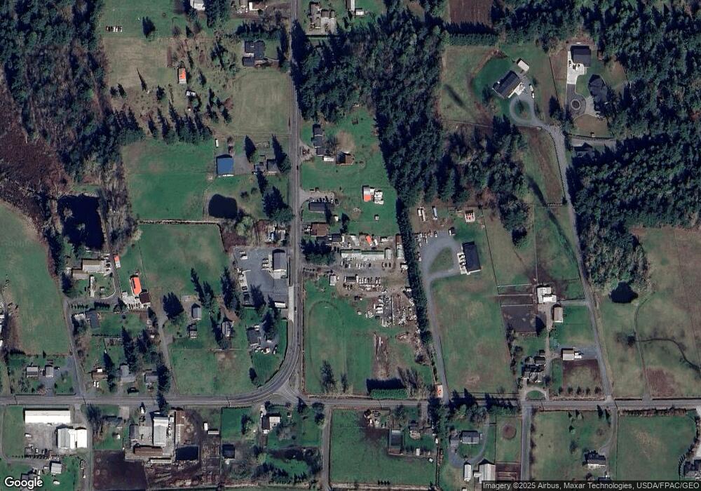
Map
Nearby Homes
- 0 2151xx Harksell Rd
- 7442 Woodland Rd
- 7181 Enterprise Rd
- 1711 Garden Farms Rd
- 7020 Dahlberg Rd
- 1939 Grandview Rd
- 2070 Grandview Rd
- 2020 Grandview Rd
- 2036 Grandview Rd
- 6850 Portal Way
- 2265 Grandview Rd
- 7136 Portal Way Unit 18
- 6600 Portal Way
- 1273 Vista Cir
- 1942 Trigg Rd Unit 26
- 1942 Trigg Rd Unit 38
- 8065 Lyn Dale Dr
- 0 Aldergrove Rd Unit NWM2355925
- 6470 Trigg Woods Ln
- 0 xxx Brown Rd
- 7354 N Enterprise Rd
- 7349 N Enterprise Rd
- 7365 N Enterprise Rd
- 7370 N Enterprise Rd
- 7339 N Enterprise Rd
- 1770 Harksell Rd
- 7365 Sunnybrook Ln
- 7396 N Enterprise Rd
- 1747 Harksell Rd
- 1776 Harksell Rd
- 0 169x Harksell Rd Unit 1320916
- 1709 Harksell Rd
- 1672 Harksell Rd
- 7404 N Enterprise Rd
- 1780 Harksell Rd
- 1693 Harksell Rd
- 1796 Harksell Rd
- 7411 N Enterprise Rd
- 1800 Harksell Rd
- 1784 Harksell Rd