7343 Drum Point Rd Saint Michaels, MD 21663
Estimated Value: $1,143,000 - $1,660,533
Studio
3
Baths
2,916
Sq Ft
$472/Sq Ft
Est. Value
About This Home
This home is located at 7343 Drum Point Rd, Saint Michaels, MD 21663 and is currently estimated at $1,376,133, approximately $471 per square foot. 7343 Drum Point Rd is a home located in Talbot County with nearby schools including St. Michaels Elementary School, St. Michaels Middle/High School, and Easton High School.
Ownership History
Date
Name
Owned For
Owner Type
Purchase Details
Closed on
Jan 30, 2026
Sold by
Abh & C Llc
Bought by
Walsworth Andrew T and Walsworth Courtney Jasmine
Current Estimated Value
Home Financials for this Owner
Home Financials are based on the most recent Mortgage that was taken out on this home.
Original Mortgage
$792,000
Outstanding Balance
$792,000
Interest Rate
6.18%
Mortgage Type
New Conventional
Estimated Equity
$584,133
Purchase Details
Closed on
Oct 11, 2024
Sold by
Henry-Brittingham Cinetta D and Henry Darian C
Bought by
Abh & C Llc
Purchase Details
Closed on
Mar 5, 2024
Sold by
Henry David C
Bought by
Henry-Brittingham Cinetta D and Henry David C
Purchase Details
Closed on
Jul 27, 1998
Sold by
Sivess Peter and Sivess Eleanor
Bought by
Henry David C An D and Henry Evetta M
Create a Home Valuation Report for This Property
The Home Valuation Report is an in-depth analysis detailing your home's value as well as a comparison with similar homes in the area
Home Values in the Area
Average Home Value in this Area
Purchase History
| Date | Buyer | Sale Price | Title Company |
|---|---|---|---|
| Walsworth Andrew T | $990,000 | Eastern Shore Title | |
| Abh & C Llc | $990,000 | Eastern Shore Title | |
| Abh & C Llc | $990,000 | Eastern Shore Title | |
| Henry-Brittingham Cinetta D | -- | None Listed On Document | |
| Henry David C An D | $395,000 | -- |
Source: Public Records
Mortgage History
| Date | Status | Borrower | Loan Amount |
|---|---|---|---|
| Open | Walsworth Andrew T | $792,000 |
Source: Public Records
Tax History
| Year | Tax Paid | Tax Assessment Tax Assessment Total Assessment is a certain percentage of the fair market value that is determined by local assessors to be the total taxable value of land and additions on the property. | Land | Improvement |
|---|---|---|---|---|
| 2025 | $11,867 | $1,301,500 | $826,500 | $475,000 |
| 2024 | $10,876 | $1,208,333 | $0 | $0 |
| 2023 | $4,267 | $1,115,967 | $0 | $0 |
| 2022 | $3,918 | $1,022,600 | $642,600 | $380,000 |
| 2021 | $3,666 | $989,433 | $0 | $0 |
| 2020 | $3,666 | $956,267 | $0 | $0 |
| 2019 | $3,628 | $923,100 | $550,100 | $373,000 |
| 2018 | $3,529 | $923,100 | $550,100 | $373,000 |
| 2017 | $3,387 | $923,100 | $0 | $0 |
| 2016 | $3,277 | $968,700 | $0 | $0 |
| 2015 | $3,028 | $968,700 | $0 | $0 |
| 2014 | $3,028 | $968,700 | $0 | $0 |
Source: Public Records
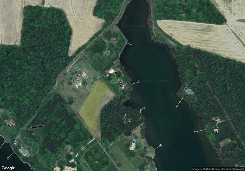
Map
Nearby Homes
- 7149 Drum Point Rd
- 24912 Back Creek Dr
- 24977 Back Creek Dr
- 100 Bush Terrace
- 1215 Washington Dr
- 1211 Washington Dr
- 24390 Oakwood Park Rd
- 938 Marea Terrace
- 601 Cove Rd
- 6448 Partridge Ln
- 228 Tyler Ave
- 25711 Royal Rd
- 7375 Station Rd
- 25706 Edgeview Rd
- 7049 & 7047 Acorn Aly
- 23857 Ebb Point Rd
- 912 Calvert Ave
- 926 Calvert Ave
- 6827 Bellevue Rd
- 0 St Michaels Rd Unit MDTA2012442
- 7223 Drum Point Rd
- 7369 Drum Point Rd
- 7335 Drum Point Rd
- 7221 Drum Point Rd
- 7332 Pea Neck Rd
- 0 Pea Neck Rd Unit 1008209720
- 0 Pea Neck Rd Unit 1007208142
- 0 Pea Neck Rd Unit 1006956714
- 0 Pea Neck Rd Unit 1006869826
- 0 Pea Neck Rd Unit 1006762472
- 0 Pea Neck Rd Unit 1006489346
- 0 Pea Neck Rd Unit TA7408243
- 0 Pea Neck Rd Unit TA7457369
- 0 Pea Neck Rd Unit TA9535670
- 0 Pea Neck Rd Unit TA9713631
- 0 Pea Neck Rd Unit MDTA2008994
- 0 Pea Neck Rd Unit MDTA2005964
- 0 Pea Neck Rd Unit TA7794201
- 0 Pea Neck Rd Unit 1000048951
- 0 Pea Neck Rd Unit 1004124940
Your Personal Tour Guide
Ask me questions while you tour the home.