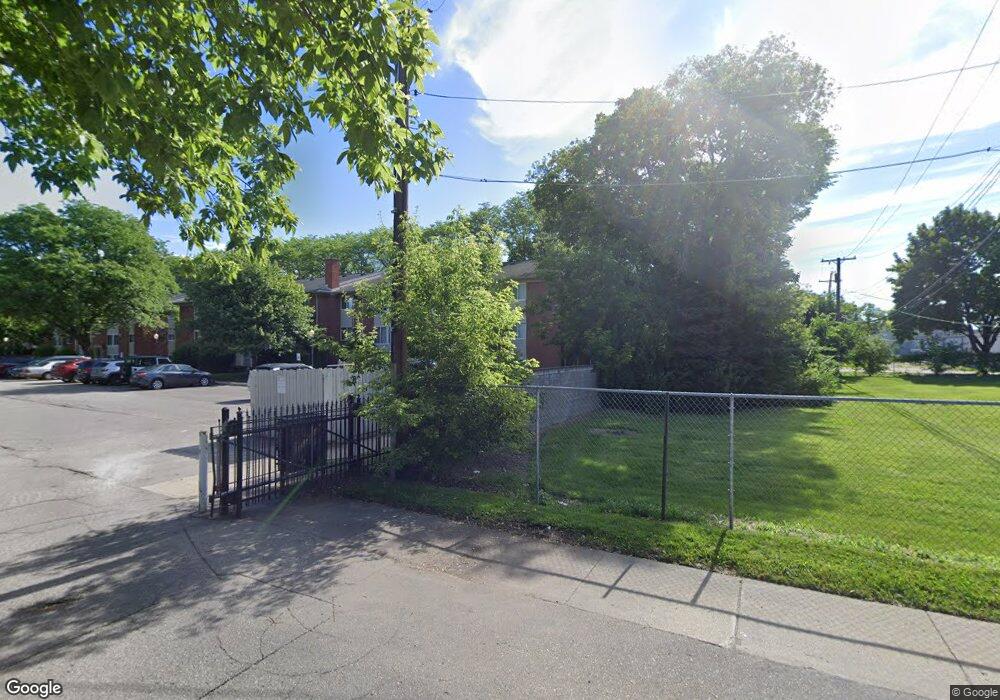
7346 Central St Unit 6 Westland, MI 48185
Estimated Value: $53,000 - $82,000
--
Bed
1
Bath
780
Sq Ft
$89/Sq Ft
Est. Value
About This Home
This home is located at 7346 Central St Unit 6, Westland, MI 48185 and is currently estimated at $69,410, approximately $88 per square foot. 7346 Central St Unit 6 is a home located in Wayne County with nearby schools including Cleveland Elementary School, Cooper Upper Elementary School, and Emerson Middle School.
Ownership History
Date
Name
Owned For
Owner Type
Purchase Details
Closed on
Nov 14, 2013
Sold by
Alcantara Matthew
Bought by
West Hamptons Llc
Current Estimated Value
Purchase Details
Closed on
Apr 4, 2011
Sold by
Pnc Bank National Association
Bought by
Alcantara Matthew
Purchase Details
Closed on
Nov 22, 2010
Sold by
Federal National Mortgage Association
Bought by
Pnc Bank National Association
Purchase Details
Closed on
Feb 10, 2010
Sold by
Lucas William R
Bought by
Federal National Mortgage Association
Purchase Details
Closed on
Jan 11, 2007
Sold by
Westland Plaza Partners Llc
Bought by
Lucas William R
Create a Home Valuation Report for This Property
The Home Valuation Report is an in-depth analysis detailing your home's value as well as a comparison with similar homes in the area
Home Values in the Area
Average Home Value in this Area
Purchase History
| Date | Buyer | Sale Price | Title Company |
|---|---|---|---|
| West Hamptons Llc | -- | None Available | |
| Alcantara Matthew | $8,000 | None Available | |
| Pnc Bank National Association | -- | Etitle Agency Inc | |
| Federal National Mortgage Association | $62,716 | None Available | |
| Lucas William R | $69,900 | Greco |
Source: Public Records
Tax History Compared to Growth
Tax History
| Year | Tax Paid | Tax Assessment Tax Assessment Total Assessment is a certain percentage of the fair market value that is determined by local assessors to be the total taxable value of land and additions on the property. | Land | Improvement |
|---|---|---|---|---|
| 2025 | $596 | $32,700 | $0 | $0 |
| 2024 | $596 | $32,000 | $0 | $0 |
| 2023 | $569 | $28,200 | $0 | $0 |
| 2022 | $722 | $23,400 | $0 | $0 |
| 2021 | $703 | $22,700 | $0 | $0 |
| 2020 | $695 | $19,500 | $0 | $0 |
| 2019 | $668 | $17,200 | $0 | $0 |
| 2018 | $483 | $15,200 | $0 | $0 |
| 2017 | $327 | $13,500 | $0 | $0 |
| 2016 | $634 | $9,700 | $0 | $0 |
| 2015 | $1,441 | $14,410 | $0 | $0 |
| 2013 | $1,549 | $16,220 | $0 | $0 |
| 2012 | $1,445 | $18,410 | $0 | $0 |
Source: Public Records
Map
Nearby Homes
- 29498 Bridge St
- 28912 Cambridge St
- 29639 Shacket St
- 28627 Bridge St
- 0000 N Middlebelt Rd
- 7474 Lathers St
- 29801 Bridge St
- 28457 Cambridge St
- 7304 Gilman St
- 7637 Melvin Ave
- 28926 Ann Arbor Trail
- 29047 Manchester St Unit 83
- 29248 Manchester St
- 8139 Bristol St Unit 170
- 29156 Manchester St
- 6747 Burnly St
- 8037 Beatrice
- 7505 Donna St
- 6705 Whitby St
- 7048 Deering St
- 7346 Central St Unit 2
- 7346 Central St Unit 7
- 7346 Central St Unit 11
- 7346 Central St Unit 10
- 7346 Central St Unit 8
- 7346 Central St Unit 9
- 7346 Central St Unit 4
- 7346 Central St Unit 5
- 7346 Central St Unit 3
- 7346 Central St Unit 1
- 7346 Central St
- 7346 Central St
- 7346 Central St Unit 114
- 7346 Central St Unit 122
- 7394 Central St Unit 5
- 7370 Central St Unit 1
- 7460 Central St Unit 1
- 7460 Central St Unit 7
- 7412 Central St Unit 8
- 7460 Central St Unit 11