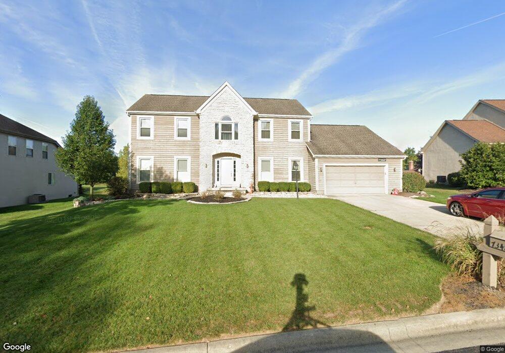
7348 Frasier Rd Westerville, OH 43082
Genoa NeighborhoodEstimated Value: $623,000 - $743,000
4
Beds
4
Baths
3,054
Sq Ft
$217/Sq Ft
Est. Value
About This Home
This home is located at 7348 Frasier Rd, Westerville, OH 43082 and is currently estimated at $663,140, approximately $217 per square foot. 7348 Frasier Rd is a home located in Delaware County with nearby schools including Fouse Elementary School, Genoa Middle School, and Westerville Central High School.
Ownership History
Date
Name
Owned For
Owner Type
Purchase Details
Closed on
Jul 9, 2007
Sold by
Spezzano Gerald C and Spezzano Robin M
Bought by
Manahan Scott R and Manahan Toscha D
Current Estimated Value
Home Financials for this Owner
Home Financials are based on the most recent Mortgage that was taken out on this home.
Original Mortgage
$33,200
Interest Rate
6.49%
Mortgage Type
Stand Alone Second
Purchase Details
Closed on
Nov 25, 1996
Sold by
M/I Schottenstein Homes
Bought by
Spezzano Gerald C and Spezzano Robin M
Home Financials for this Owner
Home Financials are based on the most recent Mortgage that was taken out on this home.
Original Mortgage
$210,800
Interest Rate
7.38%
Mortgage Type
New Conventional
Create a Home Valuation Report for This Property
The Home Valuation Report is an in-depth analysis detailing your home's value as well as a comparison with similar homes in the area
Home Values in the Area
Average Home Value in this Area
Purchase History
| Date | Buyer | Sale Price | Title Company |
|---|---|---|---|
| Manahan Scott R | $332,000 | Talon Group | |
| Spezzano Gerald C | $263,657 | -- |
Source: Public Records
Mortgage History
| Date | Status | Borrower | Loan Amount |
|---|---|---|---|
| Closed | Manahan Scott R | $33,200 | |
| Open | Manahan Scott R | $265,600 | |
| Previous Owner | Spezzano Gerald C | $210,800 |
Source: Public Records
Tax History Compared to Growth
Tax History
| Year | Tax Paid | Tax Assessment Tax Assessment Total Assessment is a certain percentage of the fair market value that is determined by local assessors to be the total taxable value of land and additions on the property. | Land | Improvement |
|---|---|---|---|---|
| 2024 | $10,141 | $196,040 | $33,950 | $162,090 |
| 2023 | $9,941 | $196,040 | $33,950 | $162,090 |
| 2022 | $8,668 | $131,570 | $21,000 | $110,570 |
| 2021 | $8,755 | $131,570 | $21,000 | $110,570 |
| 2020 | $8,808 | $131,570 | $21,000 | $110,570 |
| 2019 | $8,473 | $121,520 | $21,000 | $100,520 |
| 2018 | $8,215 | $121,520 | $21,000 | $100,520 |
| 2017 | $8,148 | $111,650 | $18,480 | $93,170 |
| 2016 | $8,117 | $111,650 | $18,480 | $93,170 |
| 2015 | $8,249 | $111,650 | $18,480 | $93,170 |
| 2014 | $7,954 | $111,650 | $18,480 | $93,170 |
| 2013 | $7,653 | $108,080 | $18,480 | $89,600 |
Source: Public Records
Map
Nearby Homes
- 7373 Frasier Rd
- 7138 Cypress Dr
- 377 Westgreen Ln Unit 377
- 5515 Stillwater Ave
- 7513 Africa Rd
- 5552 Quail Hollow Way
- 5633 Travis Pointe Ct
- 705 N State St Unit 211
- 6573 Kenwood Place
- 5259 Sorrento Ct
- 49 Village Green Dr
- 543 N State St
- 6394 Mission Hills Place
- 4960 Hawthorne Valley Dr
- 5532 Meadowood Ln
- 449 Buckstone Place
- 6311 Legends Ct
- 7697 Bale Kenyon Rd
- 6954 Lakeside Ct
- 114 Canterbrick Dr
- 7364 Frasier Rd
- 7332 Frasier Rd
- 7378 Frasier Rd
- 5148 Saint Andrews Dr
- 5170 Saint Andrews Dr
- 7343 Frasier Rd
- 7325 Frasier Rd
- 7394 Frasier Rd
- 5220 Saint Andrews Dr
- 7361 Frasier Rd
- 5094 Saint Andrews Dr
- 5236 Saint Andrews Dr
- 5163 Saint Andrews Dr
- 5179 Saint Andrews Dr
- 5167 Ainsley Dr
- 5145 Saint Andrews Dr
- 7420 Frasier Rd
- 5195 Saint Andrews Dr
- 5127 Saint Andrews Dr
- 5076 Saint Andrews Dr