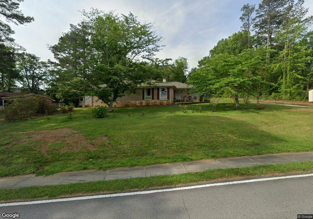
735 Almon Rd Carrollton, GA 30117
Estimated Value: $292,040 - $341,000
3
Beds
3
Baths
1,850
Sq Ft
$171/Sq Ft
Est. Value
About This Home
This home is located at 735 Almon Rd, Carrollton, GA 30117 and is currently estimated at $315,510, approximately $170 per square foot. 735 Almon Rd is a home located in Carroll County with nearby schools including Carrollton Elementary School, Carrollton Upper Elementary School, and Carrollton Middle School.
Ownership History
Date
Name
Owned For
Owner Type
Purchase Details
Closed on
Feb 8, 2024
Sold by
Jennings Paulene Huckeba
Bought by
Huckeba Michael Elbert
Current Estimated Value
Purchase Details
Closed on
Aug 19, 2009
Sold by
Jennings Jeffery S
Bought by
Jennings Richard Hamilton
Purchase Details
Closed on
Mar 5, 1998
Sold by
Jennings Jeffery S
Bought by
Jennings Jeffery S
Purchase Details
Closed on
May 31, 1994
Sold by
Brewer R
Bought by
Jennings Jeffery S
Purchase Details
Closed on
Sep 17, 1992
Bought by
Brewer R
Create a Home Valuation Report for This Property
The Home Valuation Report is an in-depth analysis detailing your home's value as well as a comparison with similar homes in the area
Home Values in the Area
Average Home Value in this Area
Purchase History
| Date | Buyer | Sale Price | Title Company |
|---|---|---|---|
| Huckeba Michael Elbert | -- | -- | |
| Jennings Paulene Huckeba | -- | -- | |
| Jennings Richard Hamilton | $130,000 | -- | |
| Jennings Richard Hamilton | $130,000 | -- | |
| Jennings Jeffery S | -- | -- | |
| Jennings Jeffery S | $70,000 | -- | |
| Brewer R | -- | -- |
Source: Public Records
Tax History Compared to Growth
Tax History
| Year | Tax Paid | Tax Assessment Tax Assessment Total Assessment is a certain percentage of the fair market value that is determined by local assessors to be the total taxable value of land and additions on the property. | Land | Improvement |
|---|---|---|---|---|
| 2024 | $547 | $103,666 | $28,350 | $75,316 |
| 2023 | $531 | $96,850 | $28,350 | $68,500 |
| 2022 | $432 | $64,118 | $18,900 | $45,218 |
| 2021 | $381 | $52,809 | $14,000 | $38,809 |
| 2020 | $365 | $48,967 | $14,000 | $34,967 |
| 2019 | $361 | $46,302 | $14,000 | $32,302 |
| 2018 | $356 | $42,660 | $14,000 | $28,660 |
| 2017 | $360 | $42,660 | $14,000 | $28,660 |
| 2016 | $288 | $42,985 | $14,000 | $28,985 |
| 2015 | $317 | $33,309 | $8,000 | $25,309 |
| 2014 | $319 | $33,309 | $8,000 | $25,309 |
Source: Public Records
Map
Nearby Homes
- 3 Burns Rd
- 2 Burns Rd
- 0 Carroll Cir- Lots 4-8 Unit 148012
- 150 Cedar Park Way
- 204 Burns Rd
- 0 Carroll Cir Unit LOTS 4-8 10571562
- 223 N Lakeshore Dr
- 403 Burns Rd
- 231 N Lakeshore Dr
- 0 Burns Rd Unit LOT 2 10571612
- 0 Burns Rd Unit LOT 3 10571635
- 0 Burns Rd Unit LOT 1 10571595
- 0 Burns Rd Unit 148013
- 114 Green Point Way
- 115 N Lake Dr
- 1711B Bankhead Hwy
- 325 Almon Rd
- 123 Autumn Glen Dr
- 111 Lakeview Dr
- 119 Oxford Square
- 740 Almon Rd
- 637 Almon Rd
- 736 Almon Rd
- 635 Almon Rd
- 826 Bankhead Hwy
- 734 Almon Rd
- 730 Almon Rd
- 800 Bankhead Hwy
- 705 Almon Rd
- 744 1/2 Bankhead Hwy
- 744 Bankhead Hwy Unit A/B
- 744 Bankhead Hwy
- 103 Lake Point Dr
- 633 Almon Rd
- 103 Lakepoint Dr
- 750 Bankhead Hwy
- 741 Almon Rd
- 107 Lake Point Dr
- 107 Lake Point Dr
- 631 Almon Rd