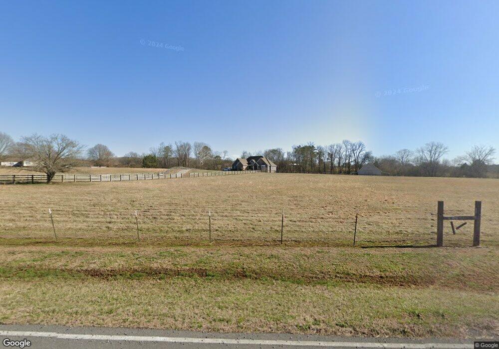
735 Bryant Rd Cohutta, GA 30710
Estimated Value: $396,000 - $511,889
--
Bed
2
Baths
2,751
Sq Ft
$163/Sq Ft
Est. Value
About This Home
This home is located at 735 Bryant Rd, Cohutta, GA 30710 and is currently estimated at $448,972, approximately $163 per square foot. 735 Bryant Rd is a home located in Whitfield County with nearby schools including Cohutta Elementary School and Coahulla Creek High School.
Ownership History
Date
Name
Owned For
Owner Type
Purchase Details
Closed on
Jul 19, 2007
Sold by
Not Provided
Bought by
Millsap Henry L and Millsap Vickie P
Current Estimated Value
Purchase Details
Closed on
Jan 1, 1998
Bought by
Campbell Robert Alan
Create a Home Valuation Report for This Property
The Home Valuation Report is an in-depth analysis detailing your home's value as well as a comparison with similar homes in the area
Home Values in the Area
Average Home Value in this Area
Purchase History
| Date | Buyer | Sale Price | Title Company |
|---|---|---|---|
| Millsap Henry L | $52,500 | -- | |
| Campbell Robert Alan | $16,200 | -- |
Source: Public Records
Tax History Compared to Growth
Tax History
| Year | Tax Paid | Tax Assessment Tax Assessment Total Assessment is a certain percentage of the fair market value that is determined by local assessors to be the total taxable value of land and additions on the property. | Land | Improvement |
|---|---|---|---|---|
| 2024 | $2,235 | $168,266 | $27,714 | $140,552 |
| 2023 | $2,235 | $120,496 | $13,965 | $106,531 |
| 2022 | $3,264 | $110,659 | $13,965 | $96,694 |
| 2021 | $3,265 | $110,659 | $13,965 | $96,694 |
| 2020 | $3,376 | $110,659 | $13,965 | $96,694 |
| 2019 | $3,431 | $110,659 | $13,965 | $96,694 |
| 2018 | $3,486 | $110,659 | $13,965 | $96,694 |
| 2017 | $3,488 | $110,659 | $13,965 | $96,694 |
| 2016 | $3,101 | $102,281 | $13,965 | $88,316 |
| 2014 | $2,753 | $102,282 | $13,965 | $88,316 |
| 2013 | -- | $102,281 | $13,965 | $88,316 |
Source: Public Records
Map
Nearby Homes
- 14 Stonechase Ln
- 13 Stonechase Ln
- 312 Stonegate Place
- 139 Quill Gordon Way
- 508 Chattanooga Rd
- 5219 Apison Rd
- 4781 Tree Top Ln
- Tract 8 Wheeler Dam Rd
- Tract 9 Wheeler Dam Rd
- Tract 2 Wheeler Dam Rd
- Tract 7 Wheeler Dam Rd
- Tract 1 Wheeler Dam Rd
- Tract 4 Wheeler Dam Rd
- Tract 6 Wheeler Dam Rd
- Tract 5 Wheeler Dam Rd
- Tract 3 Wheeler Dam Rd
- 207 Squirrel Ave
- 201 Squirrel Ave
- 184 Farrar Rd
- 4424 Trailwood Dr
- 719 Bryant Rd
- 734 Bryant Rd
- 5105 Standifer Rd
- 713 Bryant Rd
- 709 Bryant Rd
- 705 Bryant Rd
- 820 Bryant Rd
- 5065 Standifer Rd Unit TRACT 28
- 5117 Standifer Rd
- 803 Bryant Rd
- 701 Bryant Rd
- 5127 Standifer Rd
- 5083 Standifer Rd
- 5123 Standifer Rd
- 5047 Standifer Rd
- 5035 Standifer Rd
- 5038 Standifer Rd
- 5015 Standifer Rd
- 819 Bryant Rd
- 4987 Standifer Rd