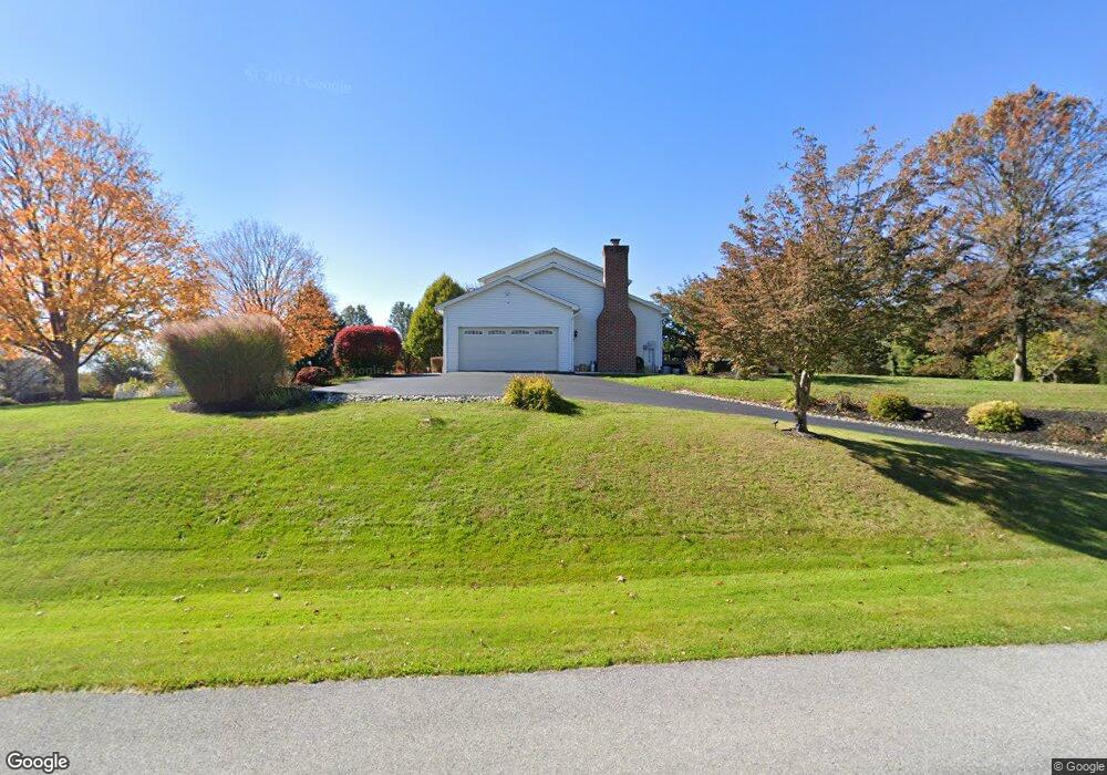
735 Carlson Rd Hummelstown, PA 17036
Estimated Value: $406,000 - $493,909
3
Beds
3
Baths
2,004
Sq Ft
$226/Sq Ft
Est. Value
About This Home
This home is located at 735 Carlson Rd, Hummelstown, PA 17036 and is currently estimated at $452,477, approximately $225 per square foot. 735 Carlson Rd is a home located in Dauphin County.
Ownership History
Date
Name
Owned For
Owner Type
Purchase Details
Closed on
Feb 13, 2020
Sold by
Fox Kevin E
Bought by
King Wayne P and King Barbara J
Current Estimated Value
Home Financials for this Owner
Home Financials are based on the most recent Mortgage that was taken out on this home.
Original Mortgage
$269,000
Outstanding Balance
$238,181
Interest Rate
3.6%
Mortgage Type
New Conventional
Estimated Equity
$214,296
Create a Home Valuation Report for This Property
The Home Valuation Report is an in-depth analysis detailing your home's value as well as a comparison with similar homes in the area
Home Values in the Area
Average Home Value in this Area
Purchase History
| Date | Buyer | Sale Price | Title Company |
|---|---|---|---|
| King Wayne P | $309,000 | None Available |
Source: Public Records
Mortgage History
| Date | Status | Borrower | Loan Amount |
|---|---|---|---|
| Open | King Wayne P | $269,000 |
Source: Public Records
Tax History Compared to Growth
Tax History
| Year | Tax Paid | Tax Assessment Tax Assessment Total Assessment is a certain percentage of the fair market value that is determined by local assessors to be the total taxable value of land and additions on the property. | Land | Improvement |
|---|---|---|---|---|
| 2025 | $5,734 | $194,600 | $27,600 | $167,000 |
| 2024 | $4,947 | $186,300 | $27,600 | $158,700 |
| 2023 | $4,947 | $186,300 | $27,600 | $158,700 |
| 2022 | $4,845 | $186,300 | $27,600 | $158,700 |
| 2021 | $4,845 | $186,300 | $27,600 | $158,700 |
| 2020 | $4,845 | $186,300 | $27,600 | $158,700 |
| 2019 | $2,154 | $186,300 | $27,600 | $158,700 |
| 2018 | $4,845 | $186,300 | $27,600 | $158,700 |
| 2017 | $4,845 | $186,300 | $27,600 | $158,700 |
| 2016 | $0 | $186,300 | $27,600 | $158,700 |
| 2015 | -- | $186,300 | $27,600 | $158,700 |
| 2014 | -- | $186,300 | $27,600 | $158,700 |
Source: Public Records
Map
Nearby Homes
- 344 S Crawford Rd
- 8049 Allentown Blvd
- 205 Berry Dr
- 155 N Hershey Rd
- 138 Carleigh Ln
- 155 N Crawford Rd
- 253 Harper Dr
- 244 N Hershey Rd
- 2570 Sand Beach Rd
- 485 Hershey Rd
- 126 Hummel Ln
- 401 Northstar Dr
- 7821 Skyline Dr
- 416 Northstar Dr
- 604 Hershey Rd
- 106 Brynfield Way
- 7932 Jonestown Rd
- 231 Hanover View Cir
- 145 Hershey Rd
- 179 Village Glen Dr
- 723 Carlson Rd
- 747 Carlson Rd
- 716 Carlson Rd
- 1006 Chestnut Place
- 738 Carlson Rd
- 532 Crooked Hill Rd
- 1001 Chestnut Place Unit L39B
- 755 Carlson Rd
- 524 Crooked Hill Rd
- 281 S Mill Rd
- 677 Carlson Rd
- 763 Carlson Rd
- 893 Crooked Hill Rd
- 106 Ulrich Ct
- 742 Carlson Rd
- 1007 Chestnut Place
- 1012 Chestnut Place
- 105 Ulrich Ct
- 752 Carlson Rd
- 261 S Mill Rd