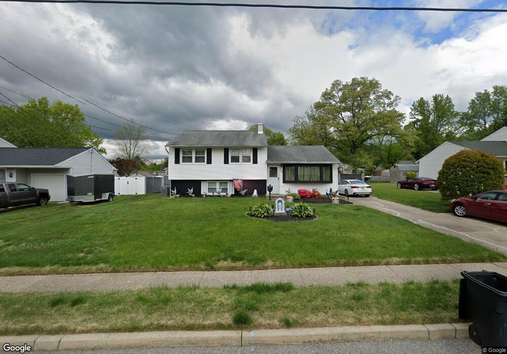
735 Dartmouth Dr Wenonah, NJ 08090
Deptford Township NeighborhoodEstimated Value: $327,310 - $365,000
--
Bed
--
Bath
1,680
Sq Ft
$204/Sq Ft
Est. Value
About This Home
This home is located at 735 Dartmouth Dr, Wenonah, NJ 08090 and is currently estimated at $342,078, approximately $203 per square foot. 735 Dartmouth Dr is a home located in Gloucester County with nearby schools including Deptford Township High School and St Margaret Regional School.
Ownership History
Date
Name
Owned For
Owner Type
Purchase Details
Closed on
Oct 23, 2003
Sold by
Dolan Raymond
Bought by
Danzi Edward J and Porco Grace P
Current Estimated Value
Home Financials for this Owner
Home Financials are based on the most recent Mortgage that was taken out on this home.
Original Mortgage
$139,500
Interest Rate
5.9%
Mortgage Type
Purchase Money Mortgage
Purchase Details
Closed on
May 21, 2001
Sold by
Danzi Edward and Porco Grace P
Bought by
Danzi Edward and Danzi Grace P
Create a Home Valuation Report for This Property
The Home Valuation Report is an in-depth analysis detailing your home's value as well as a comparison with similar homes in the area
Home Values in the Area
Average Home Value in this Area
Purchase History
| Date | Buyer | Sale Price | Title Company |
|---|---|---|---|
| Danzi Edward J | $158,000 | Congress | |
| Danzi Edward | -- | -- |
Source: Public Records
Mortgage History
| Date | Status | Borrower | Loan Amount |
|---|---|---|---|
| Previous Owner | Danzi Edward J | $139,500 |
Source: Public Records
Tax History Compared to Growth
Tax History
| Year | Tax Paid | Tax Assessment Tax Assessment Total Assessment is a certain percentage of the fair market value that is determined by local assessors to be the total taxable value of land and additions on the property. | Land | Improvement |
|---|---|---|---|---|
| 2025 | $5,417 | $151,100 | $41,600 | $109,500 |
| 2024 | $5,243 | $151,100 | $41,600 | $109,500 |
| 2023 | $5,243 | $151,100 | $41,600 | $109,500 |
| 2022 | $5,205 | $151,100 | $41,600 | $109,500 |
| 2021 | $5,131 | $151,100 | $41,600 | $109,500 |
| 2020 | $5,072 | $151,100 | $41,600 | $109,500 |
| 2019 | $4,976 | $151,100 | $41,600 | $109,500 |
| 2018 | $4,864 | $151,100 | $41,600 | $109,500 |
| 2017 | $4,734 | $151,100 | $41,600 | $109,500 |
| 2016 | $4,637 | $151,100 | $41,600 | $109,500 |
| 2015 | $4,494 | $151,100 | $41,600 | $109,500 |
| 2014 | $4,377 | $151,100 | $41,600 | $109,500 |
Source: Public Records
Map
Nearby Homes
- 735 Glenside Dr
- 748 Dartmouth Dr
- 125 Ivy Ln
- 111 Cove Rd
- 7 Manchester Ct
- 100 Buddy Powell Ln
- 114 Buddy Powell Ln
- 711 Howard Ave
- 313 Ogden Station Rd
- 315 Ogden Station Rd
- 916 Georgetown Rd
- 505 W Mantua Ave
- 213 Barclay Ct
- 629 Vassar Rd
- 75 Hickory Ave
- 807 Saint Regis Ct
- 463 Durham Ct
- 411 Durham Ct Unit 411
- 827 Saint Regis Ct
- 8 W Buttonwood St
- 733 Dartmouth Dr
- 737 Dartmouth Dr
- 731 Dartmouth Dr
- 739 Dartmouth Dr
- 747 Glenside Dr
- 749 Glenside Dr
- 743 Glenside Dr
- 740 Dartmouth Dr
- 738 Dartmouth Dr
- 734 Dartmouth Dr
- 741 Dartmouth Dr
- 729 Dartmouth Dr
- 736 Dartmouth Dr
- 751 Glenside Dr
- 743 Duke Dr
- 759 Glenside Dr
- 732 Dartmouth Dr
- 743 Dartmouth Dr
- 727 Dartmouth Dr
- 739 Glenside Dr