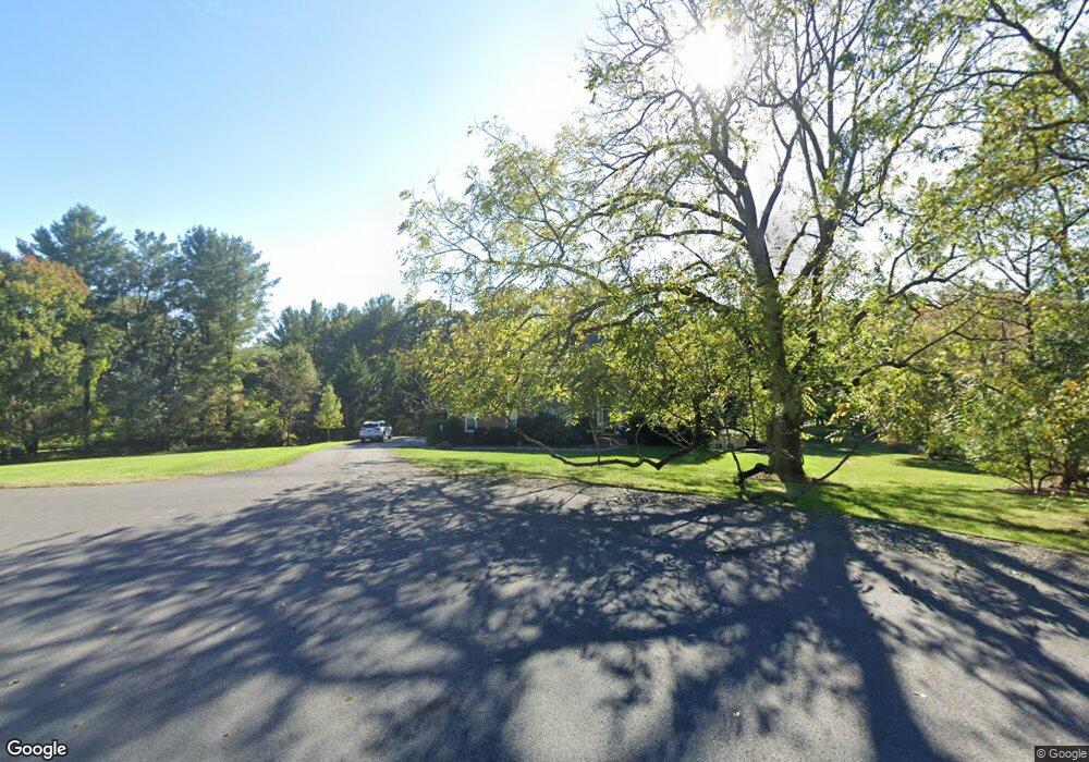
735 Forest Park Rd Great Falls, VA 22066
Estimated Value: $1,496,000 - $1,730,000
5
Beds
5
Baths
3,062
Sq Ft
$531/Sq Ft
Est. Value
About This Home
This home is located at 735 Forest Park Rd, Great Falls, VA 22066 and is currently estimated at $1,626,363, approximately $531 per square foot. 735 Forest Park Rd is a home located in Fairfax County with nearby schools including Great Falls Elementary School, Cooper Middle School, and Langley High School.
Ownership History
Date
Name
Owned For
Owner Type
Purchase Details
Closed on
Sep 17, 1993
Sold by
Kempton Pond Lp
Bought by
Hackman Timothy B
Current Estimated Value
Home Financials for this Owner
Home Financials are based on the most recent Mortgage that was taken out on this home.
Original Mortgage
$383,000
Interest Rate
7.16%
Create a Home Valuation Report for This Property
The Home Valuation Report is an in-depth analysis detailing your home's value as well as a comparison with similar homes in the area
Home Values in the Area
Average Home Value in this Area
Purchase History
| Date | Buyer | Sale Price | Title Company |
|---|---|---|---|
| Hackman Timothy B | $496,912 | -- |
Source: Public Records
Mortgage History
| Date | Status | Borrower | Loan Amount |
|---|---|---|---|
| Closed | Hackman Timothy B | $383,000 |
Source: Public Records
Tax History Compared to Growth
Tax History
| Year | Tax Paid | Tax Assessment Tax Assessment Total Assessment is a certain percentage of the fair market value that is determined by local assessors to be the total taxable value of land and additions on the property. | Land | Improvement |
|---|---|---|---|---|
| 2025 | $16,094 | $1,479,730 | $800,000 | $679,730 |
| 2024 | $16,094 | $1,389,250 | $748,000 | $641,250 |
| 2023 | $14,952 | $1,324,950 | $726,000 | $598,950 |
| 2022 | $13,609 | $1,190,100 | $660,000 | $530,100 |
| 2021 | $12,391 | $1,055,910 | $574,000 | $481,910 |
| 2020 | $12,267 | $1,036,540 | $574,000 | $462,540 |
| 2019 | $12,007 | $1,014,510 | $574,000 | $440,510 |
| 2018 | $11,566 | $1,005,740 | $574,000 | $431,740 |
| 2017 | $11,677 | $1,005,740 | $574,000 | $431,740 |
| 2016 | $11,719 | $1,011,600 | $574,000 | $437,600 |
| 2015 | $11,183 | $1,002,030 | $574,000 | $428,030 |
| 2014 | $11,158 | $1,002,030 | $574,000 | $428,030 |
Source: Public Records
Map
Nearby Homes
- 10206 Carol St
- 729 Ellsworth Ave
- 650 Walker Rd
- 0 Walker Meadow Ct Unit VAFX2241688
- 10058 Walker Meadow Ct
- 644 Deerfield Farm Ct
- 824 Constellation Dr
- 829 Golden Arrow St
- 10190 Akhtamar Dr
- 934 Harriman St
- 903 Winstead St
- 1011 Harriman St
- 9864 Walker Glen Ct
- 1002 Springvale Rd
- 576 Innsbruck Ave
- 9800 Arnon Chapel Rd
- 9619 Georgetown Pike
- 1039 Harriman St
- 9722 Arnon Chapel Rd
- 688 Rossmore Ct
- 738 Forest Park Rd
- 733 Forest Park Rd
- 732 Forest Park Rd
- 736 Forest Park Rd
- 731 Forest Park Rd
- 10124 Nedra Dr
- 730 Forest Park Rd
- 10122 Nedra Dr
- 10118 Nedra Dr
- 734 Forest Park Rd
- 10126 Nedra Dr
- 10116 Nedra Dr
- 767 Ellsworth Ave
- 10240 Georgetown Pike
- 725 Forest Ridge Dr
- 763 Ellsworth Ave
- 10128 Nedra Dr
- 10119 Nedra Dr
- 724 Forest Ridge Dr
- 759 Ellsworth Ave
