735 Mullins Path The Villages, FL 32162
Village of Mallory Square NeighborhoodEstimated Value: $468,000 - $503,000
--
Bed
--
Bath
1,887
Sq Ft
$256/Sq Ft
Est. Value
About This Home
This home is located at 735 Mullins Path, The Villages, FL 32162 and is currently estimated at $483,186, approximately $256 per square foot. 735 Mullins Path is a home located in Sumter County with nearby schools including Wildwood Elementary School and Wildwood Middle/High School.
Ownership History
Date
Name
Owned For
Owner Type
Purchase Details
Closed on
Oct 6, 2025
Sold by
John W Peterman Trust and Peterman John M
Bought by
Maynard Raymond E and Maynard Maria T
Current Estimated Value
Home Financials for this Owner
Home Financials are based on the most recent Mortgage that was taken out on this home.
Original Mortgage
$100,000
Outstanding Balance
$99,911
Interest Rate
6.56%
Mortgage Type
New Conventional
Estimated Equity
$383,275
Purchase Details
Closed on
Feb 23, 2021
Sold by
Peterman John Walter
Bought by
Peterman John Walter
Purchase Details
Closed on
Apr 16, 2014
Sold by
Whalen Noreen Audrey
Bought by
Peterman John W
Create a Home Valuation Report for This Property
The Home Valuation Report is an in-depth analysis detailing your home's value as well as a comparison with similar homes in the area
Home Values in the Area
Average Home Value in this Area
Purchase History
| Date | Buyer | Sale Price | Title Company |
|---|---|---|---|
| Maynard Raymond E | $458,700 | Peninsula Land & Title | |
| Peterman John Walter | $100 | None Listed On Document | |
| Peterman John Walter | $100 | None Listed On Document | |
| Peterman John W | $355,000 | Attorney |
Source: Public Records
Mortgage History
| Date | Status | Borrower | Loan Amount |
|---|---|---|---|
| Open | Maynard Raymond E | $100,000 |
Source: Public Records
Tax History Compared to Growth
Tax History
| Year | Tax Paid | Tax Assessment Tax Assessment Total Assessment is a certain percentage of the fair market value that is determined by local assessors to be the total taxable value of land and additions on the property. | Land | Improvement |
|---|---|---|---|---|
| 2024 | $3,986 | $406,550 | $55,730 | $350,820 |
| 2023 | $3,986 | $288,420 | $0 | $0 |
| 2022 | $3,939 | $280,020 | $0 | $0 |
| 2021 | $4,392 | $271,870 | $0 | $0 |
| 2020 | $4,469 | $268,120 | $0 | $0 |
| 2019 | $4,478 | $262,100 | $0 | $0 |
| 2018 | $4,165 | $257,220 | $27,870 | $229,350 |
| 2017 | $4,276 | $259,080 | $27,870 | $231,210 |
| 2016 | $4,296 | $260,600 | $0 | $0 |
| 2015 | $4,325 | $258,790 | $0 | $0 |
| 2014 | $4,794 | $251,640 | $0 | $0 |
Source: Public Records
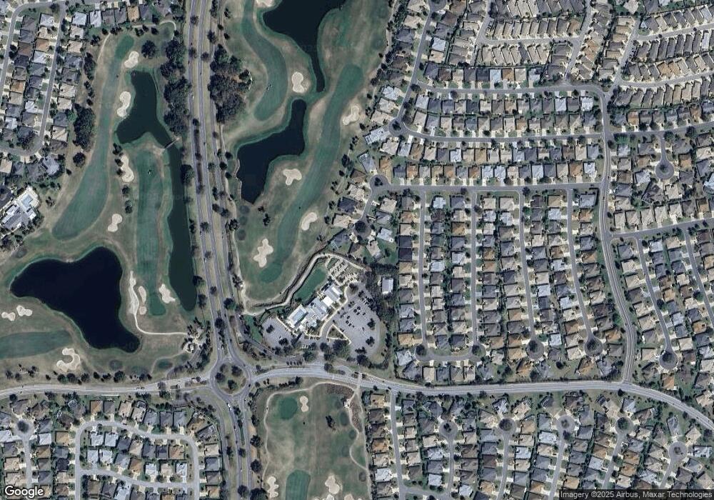
Map
Nearby Homes
- 1508 Gifford Ct
- 1542 Wyatt Ave
- 1606 Snelling Ave
- 1637 Mount Croghan Trail
- 1550 Ward Ct
- 1634 Moncks Corner
- 1410 Natalie Ln
- 523 Richburg St
- 552 Society Hill Cir
- 1675 Westminster Ct
- 859 Kline St
- 1722 Bugle Terrace
- 752 Maybank Loop
- 1731 Mount Carmel Terrace
- 445 Society Hill Cir
- 1240 Gloverville Terrace
- 879 Astor Way
- 375 Simpson St
- 1041 Reidville Rd
- 1175 Johnston Path
- 729 Mullins Path
- 730 Mullins Path
- 723 Mullins Path
- 724 Mullins Path
- 718 Mullins Path
- 1605 Lynchburg Loop
- 717 Mullins Path
- 1609 Lynchburg Loop
- 1601 Lynchburg Loop
- 1613 Lynchburg Loop
- 1597 Lynchburg Loop
- 712 Mullins Path
- 711 Mullins Path
- 1617 Lynchburg Loop
- 1593 Lynchburg Loop
- 1621 Lynchburg Loop
- 705 Mullins Path
- 1589 Lynchburg Loop
- 1608 Lynchburg Loop
- 1604 Lynchburg Loop