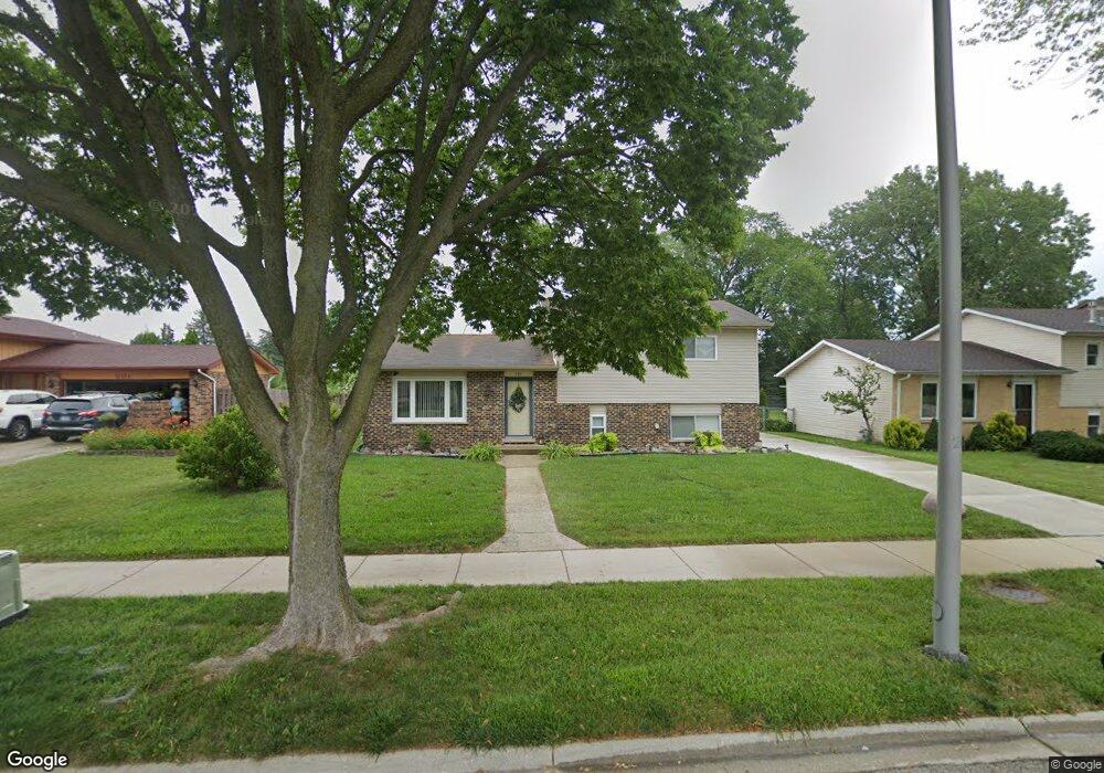
735 N Rumple Ln Addison, IL 60101
Estimated Value: $371,094 - $425,000
3
Beds
3
Baths
1,675
Sq Ft
$243/Sq Ft
Est. Value
About This Home
This home is located at 735 N Rumple Ln, Addison, IL 60101 and is currently estimated at $407,024, approximately $242 per square foot. 735 N Rumple Ln is a home located in DuPage County with nearby schools including Stone Elementary School, Indian Trail Jr High School, and Addison Trail High School.
Ownership History
Date
Name
Owned For
Owner Type
Purchase Details
Closed on
May 20, 2002
Sold by
Monti Oronzo and Monti Franca
Bought by
Fira Janusz and Fira Barbara
Current Estimated Value
Home Financials for this Owner
Home Financials are based on the most recent Mortgage that was taken out on this home.
Original Mortgage
$176,000
Outstanding Balance
$73,376
Interest Rate
6.75%
Estimated Equity
$333,648
Create a Home Valuation Report for This Property
The Home Valuation Report is an in-depth analysis detailing your home's value as well as a comparison with similar homes in the area
Home Values in the Area
Average Home Value in this Area
Purchase History
| Date | Buyer | Sale Price | Title Company |
|---|---|---|---|
| Fira Janusz | $220,000 | -- |
Source: Public Records
Mortgage History
| Date | Status | Borrower | Loan Amount |
|---|---|---|---|
| Open | Fira Janusz | $176,000 |
Source: Public Records
Tax History Compared to Growth
Tax History
| Year | Tax Paid | Tax Assessment Tax Assessment Total Assessment is a certain percentage of the fair market value that is determined by local assessors to be the total taxable value of land and additions on the property. | Land | Improvement |
|---|---|---|---|---|
| 2024 | $6,940 | $106,978 | $36,086 | $70,892 |
| 2023 | $6,578 | $97,830 | $33,000 | $64,830 |
| 2022 | $5,412 | $79,420 | $32,790 | $46,630 |
| 2021 | $5,135 | $75,450 | $31,150 | $44,300 |
| 2020 | $5,085 | $73,610 | $30,390 | $43,220 |
| 2019 | $5,057 | $70,730 | $29,200 | $41,530 |
| 2018 | $5,694 | $75,900 | $28,440 | $47,460 |
| 2017 | $5,369 | $70,350 | $26,360 | $43,990 |
| 2016 | $5,217 | $65,110 | $24,400 | $40,710 |
| 2015 | $5,135 | $60,760 | $22,770 | $37,990 |
| 2014 | $5,006 | $58,960 | $21,990 | $36,970 |
| 2013 | $4,981 | $60,980 | $22,740 | $38,240 |
Source: Public Records
Map
Nearby Homes
- 818 N Rumple Ln
- 1750 W Woodland Ave
- 823 N Harrow Ct
- 943 N Rohlwing Rd Unit 101H
- 953 N Rohlwing Rd Unit GB
- 1527 W Holtz Ave
- 881 N Swift Rd Unit 206
- 941 N Swift Rd Unit 301
- 20W561 Army Trail Blvd
- 580 N Highlander Way
- 1210 N Foxdale Dr Unit 109
- 1660 W Prescott Place
- 1275 W Lake St Unit 104
- 19W720 Woodland Ave
- 1155 W Westwood Trail
- 5N210 Central Rd
- 231 N Flora Pkwy
- 5N260 Eagle Terrace
- 1202 W Surrey Rd
- 22W070 Byron Ave
- 731 N Rumple Ln
- 801 N Rumple Ln
- 1809 Kings Point Dr S
- 1809 Kings Point Dr S
- 736 N Rumple Ln
- 723 N Rumple Ln
- 1820 W Mulloy Dr
- 1817 Kings Point Dr S
- 750 N Rohlwing Rd
- 740 N Rohlwing Rd
- 760 N Rohlwing Rd
- 719 N Rumple Ln
- 730 N Rohlwing Rd
- 1805 Kings Point Dr S
- 1821 Kings Point Dr S
- 1824 W Mulloy Dr
- 1812 Kings Point Dr S
- 726 N Rohlwing Rd
- 718 N Rumple Ln
- 715 N Rumple Ln