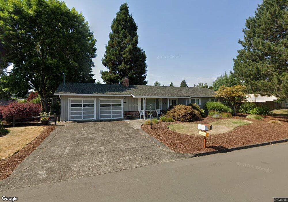
735 NE Delsey Rd Hillsboro, OR 97124
Northwest Hillsboro NeighborhoodEstimated Value: $470,003 - $523,000
3
Beds
2
Baths
1,426
Sq Ft
$346/Sq Ft
Est. Value
About This Home
This home is located at 735 NE Delsey Rd, Hillsboro, OR 97124 and is currently estimated at $494,001, approximately $346 per square foot. 735 NE Delsey Rd is a home located in Washington County with nearby schools including Lincoln Street Elementary School, Evergreen Jr High School, and Glencoe High School.
Ownership History
Date
Name
Owned For
Owner Type
Purchase Details
Closed on
May 23, 2014
Sold by
Stroup Lorraine M
Bought by
Stroup Lorraine M
Current Estimated Value
Home Financials for this Owner
Home Financials are based on the most recent Mortgage that was taken out on this home.
Original Mortgage
$107,400
Interest Rate
4.23%
Mortgage Type
New Conventional
Purchase Details
Closed on
Apr 28, 2003
Sold by
Stroup Lorraine M
Bought by
Stroup Lorraine M and Lorraine M Stroup Revocable Living Trust
Create a Home Valuation Report for This Property
The Home Valuation Report is an in-depth analysis detailing your home's value as well as a comparison with similar homes in the area
Home Values in the Area
Average Home Value in this Area
Purchase History
| Date | Buyer | Sale Price | Title Company |
|---|---|---|---|
| Stroup Lorraine M | -- | First American | |
| Stroup Lorraine M | -- | -- |
Source: Public Records
Mortgage History
| Date | Status | Borrower | Loan Amount |
|---|---|---|---|
| Closed | Stroup Lorraine M | $107,400 |
Source: Public Records
Tax History Compared to Growth
Tax History
| Year | Tax Paid | Tax Assessment Tax Assessment Total Assessment is a certain percentage of the fair market value that is determined by local assessors to be the total taxable value of land and additions on the property. | Land | Improvement |
|---|---|---|---|---|
| 2025 | $3,306 | $202,260 | -- | -- |
| 2024 | $3,212 | $196,370 | -- | -- |
| 2023 | $3,212 | $190,660 | $0 | $0 |
| 2022 | $3,125 | $190,660 | $0 | $0 |
| 2021 | $3,062 | $179,720 | $0 | $0 |
| 2020 | $2,996 | $174,490 | $0 | $0 |
| 2019 | $2,910 | $169,410 | $0 | $0 |
| 2018 | $2,786 | $164,480 | $0 | $0 |
| 2017 | $2,685 | $159,690 | $0 | $0 |
| 2016 | $2,611 | $155,040 | $0 | $0 |
| 2015 | $2,506 | $150,530 | $0 | $0 |
| 2014 | $2,492 | $146,150 | $0 | $0 |
Source: Public Records
Map
Nearby Homes
- 1269 NE Grant St
- 1043 NE Sturgess Ave
- 1303 NE Cornell Rd
- 1184 NE Turner Dr
- 624 NE Edison St
- 553 NE Buena Vista St
- 461 NE 16th Ave
- 511 NE Lincoln St
- 960 E Main St
- 1442 NE 14th Ave
- 420 NE Jackson St
- 665 NE 3rd Ave
- 1242 NE Parkside Dr
- 1670 NE Jackson School Rd
- 1722 NE Jackson School Rd
- 1455 NE Jessica Loop
- 1112 E Main St
- 354 NE Jackson St
- 1822 NE Barberry Dr
- 245 NE 4th Ave
- 929 NE Donelson Rd
- 942 NE Darnielle Dr
- 755 NE Delsey Rd
- 932 NE Darnielle Dr
- 722 NE Delsey Rd
- 690 NE Delsey Rd
- 921 NE Donelson Rd
- 738 NE Delsey Rd
- 920 NE Darnielle Dr
- 660 NE Delsey Rd
- 758 NE Delsey Rd
- 915 NE Donelson Rd
- 922 NE Donelson Rd
- 766 NE 9th Ave
- 939 NE Darnielle Dr
- 951 NE Darnielle Dr
- 931 NE Darnielle Dr
- 920 NE Donelson Rd
- 809 NE Delsey Rd
- 919 NE Darnielle Dr