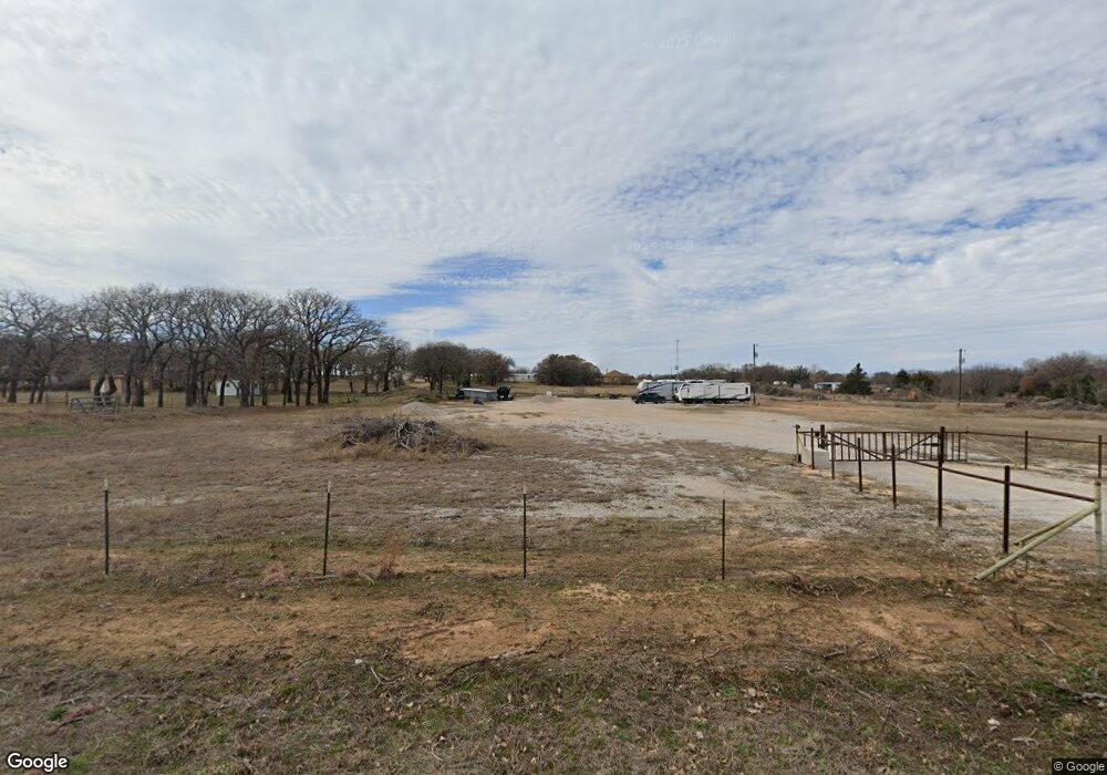
735 Newfield Ln Springtown, TX 76082
Estimated Value: $260,115 - $463,000
--
Bed
--
Bath
240
Sq Ft
$1,567/Sq Ft
Est. Value
About This Home
This home is located at 735 Newfield Ln, Springtown, TX 76082 and is currently estimated at $376,029, approximately $1,566 per square foot. 735 Newfield Ln is a home with nearby schools including Springtown Elementary School, Springtown Intermediate School, and Springtown Middle School.
Ownership History
Date
Name
Owned For
Owner Type
Purchase Details
Closed on
Apr 19, 2021
Sold by
Aruba Petroleum Inc
Bought by
Jones Timothy Curtis and Jones Laurie Lynn
Current Estimated Value
Purchase Details
Closed on
Jun 19, 2009
Sold by
Devenney Erika Ann
Bought by
Aruba Petroleum Inc
Purchase Details
Closed on
Apr 20, 2009
Sold by
Devenney Michael W and Erika Ann
Bought by
Aruba Petroleum Inc
Purchase Details
Closed on
Oct 5, 2000
Sold by
Bollman Orville Ray
Bought by
Aruba Petroleum Inc
Create a Home Valuation Report for This Property
The Home Valuation Report is an in-depth analysis detailing your home's value as well as a comparison with similar homes in the area
Home Values in the Area
Average Home Value in this Area
Purchase History
| Date | Buyer | Sale Price | Title Company |
|---|---|---|---|
| Jones Timothy Curtis | -- | Wise County Title Company | |
| Aruba Petroleum Inc | -- | -- | |
| Aruba Petroleum Inc | -- | -- | |
| Aruba Petroleum Inc | -- | -- |
Source: Public Records
Tax History Compared to Growth
Tax History
| Year | Tax Paid | Tax Assessment Tax Assessment Total Assessment is a certain percentage of the fair market value that is determined by local assessors to be the total taxable value of land and additions on the property. | Land | Improvement |
|---|---|---|---|---|
| 2025 | $638 | $227,595 | $165,500 | $62,095 |
| 2024 | $638 | $220,439 | $165,500 | $54,939 |
| 2023 | $2,312 | $178,806 | $165,500 | $13,306 |
| 2022 | $1,240 | $74,538 | $72,637 | $1,901 |
| 2021 | $1,020 | $60,790 | $60,790 | $0 |
| 2020 | $872 | $51,600 | $51,600 | $0 |
| 2019 | $722 | $40,060 | $40,060 | $0 |
| 2018 | $759 | $40,060 | $40,060 | $0 |
| 2017 | $775 | $40,940 | $40,940 | $0 |
| 2016 | $692 | $36,530 | $36,530 | $0 |
| 2015 | -- | $31,940 | $31,940 | $0 |
| 2014 | -- | $31,940 | $31,940 | $0 |
Source: Public Records
Map
Nearby Homes
- 165 County Road 4896
- 245 County Road 3696
- 1600 Thomas Rd
- 111 Quail Dr
- 443 County Road 3699
- 456 County Road 4797
- 2432 Cottondale Rd
- 2691 N Fm Road 51
- 808 Feather Edge Dr
- 555 Munn Rd
- 1901 Johnnie Dr
- 1005 Ronnie Ct
- 151 Bluff Ridge Ct
- 8 Acres TBD Hwy 51
- 121 Bluegrass Trail
- 823 County Road 3690
- 207 Lazy b Ln
- 917 County Road 3798
- 1132 Dobbs Trail
- 110 Daffodil Ln
- 167 Private Road 4789
- 121 Private Road 4789
- 719 Newfield Ln
- 111 Newfield Ln
- 488 County Road 4898
- 367 County Road 4898
- 511 County Road 4898
- 245 County Road 4896
- 399 County Road 4898
- 647 Newfield Ln
- 681 Newfield Ln
- 681 Newfield Ln
- 559 County Road 4898
- TBD Newfield Ln
- 10397 S Fm 51
- 553 Newfield Ln
- 00 County Road 4896
- 256 County Road 4896
- 10360 S Fm 51