Estimated Value: $332,000 - $507,000
--
Bed
--
Bath
4,160
Sq Ft
$105/Sq Ft
Est. Value
About This Home
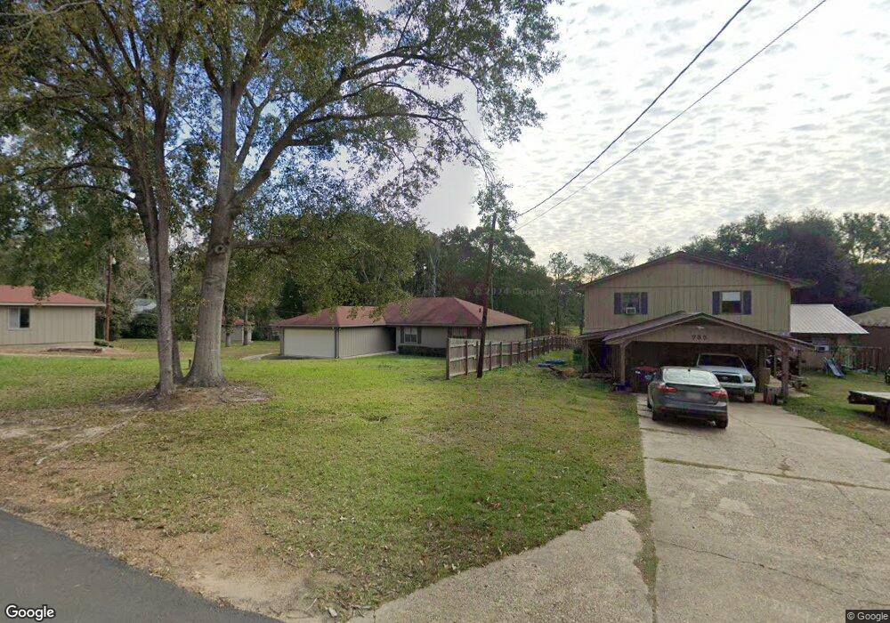
This home is located at 735 Oak Bluff Cir, Many, LA 71449 and is currently estimated at $437,863, approximately $105 per square foot. 735 Oak Bluff Cir is a home located in Sabine Parish.
Ownership History
Date
Name
Owned For
Owner Type
Purchase Details
Closed on
Feb 17, 2023
Sold by
Bms Land Llc
Bought by
Cozier Edward B and Cozier Jennifer I
Current Estimated Value
Purchase Details
Closed on
Apr 23, 2008
Sold by
Secretary Of Veterans Affairs
Bought by
Cozier Ii Edward Barnett
Home Financials for this Owner
Home Financials are based on the most recent Mortgage that was taken out on this home.
Original Mortgage
$138,600
Interest Rate
5.86%
Mortgage Type
New Conventional
Purchase Details
Closed on
Mar 21, 2007
Sold by
Wells Fargo Bank N A
Bought by
The Secretary Of Veteran Affairs
Create a Home Valuation Report for This Property
The Home Valuation Report is an in-depth analysis detailing your home's value as well as a comparison with similar homes in the area
Home Values in the Area
Average Home Value in this Area
Purchase History
| Date | Buyer | Sale Price | Title Company |
|---|---|---|---|
| Cozier Edward B | $80,000 | -- | |
| Cozier Ii Edward Barnett | $154,000 | None Available | |
| The Secretary Of Veteran Affairs | $217,682 | None Available |
Source: Public Records
Mortgage History
| Date | Status | Borrower | Loan Amount |
|---|---|---|---|
| Previous Owner | Cozier Ii Edward Barnett | $138,600 |
Source: Public Records
Tax History Compared to Growth
Tax History
| Year | Tax Paid | Tax Assessment Tax Assessment Total Assessment is a certain percentage of the fair market value that is determined by local assessors to be the total taxable value of land and additions on the property. | Land | Improvement |
|---|---|---|---|---|
| 2024 | $2,264 | $36,681 | $4,375 | $32,306 |
| 2023 | $1,582 | $26,264 | $4,219 | $22,045 |
| 2022 | $1,985 | $26,264 | $4,219 | $22,045 |
| 2021 | $2,151 | $26,264 | $4,219 | $22,045 |
| 2020 | $2,152 | $26,264 | $4,219 | $22,045 |
| 2019 | $2,148 | $26,264 | $4,219 | $22,045 |
| 2018 | $2,139 | $25,840 | $1,650 | $24,190 |
| 2017 | $1,652 | $17,560 | $1,650 | $15,910 |
| 2016 | $1,679 | $17,560 | $1,650 | $15,910 |
| 2015 | $1,745 | $17,560 | $1,650 | $15,910 |
| 2014 | $1,617 | $16,370 | $1,538 | $14,832 |
Source: Public Records
Map
Nearby Homes
- 642 Loggers Trail
- 39 Hazelwood St
- 546 Cooks Landing Rd
- 315 Arnold Rd
- 0002 Loggers Trail
- 0003 Loggers Trail
- 0001 Loggers Trail
- 220 Gary St
- 340 Mike St
- 000 Chasin Fin Dr Unit 6
- 000 Chasin Fin Dr Unit 3
- 2958 Lakeside Loop Unit 28
- 000 Little Flock Rd Unit Tract 2
- 60 Miles St
- 73 McBane Loop
- 000 Lakeside Loop Unit Tract 3
- 0 Lakeside Loop Unit 11578653
- 275 Darren St
- 75 Gang Plank Trail
- 34 Gang Plank Trail
- 719 Oak Bluff Dr
- 719 Oak Bluff Cir Unit CIRCLE
- 786 Oak Bluff Cir
- 720 Oak Bluff Dr
- 760 Oak Bluff Cir
- 710 Oak Bluff Dr
- 752 Oak Bluff Cir
- 776 Oak Bluff Dr
- 772 Oak Bluff Cir Unit Cir
- 772 Oak Bluff Cir
- 682 Oak Bluff Dr
- 768 Oak Bluff Cir
- 30 Fertitta Cir
- 371 Fertitta Cir Unit Drive
- 656 Oak Bluff Dr
- 621 Oak Bluff Dr
- 34 Fertitta Dr
- 38 Fertitta Cir
- 280 Fertitta Dr
- 565 Oak Bluff Dr